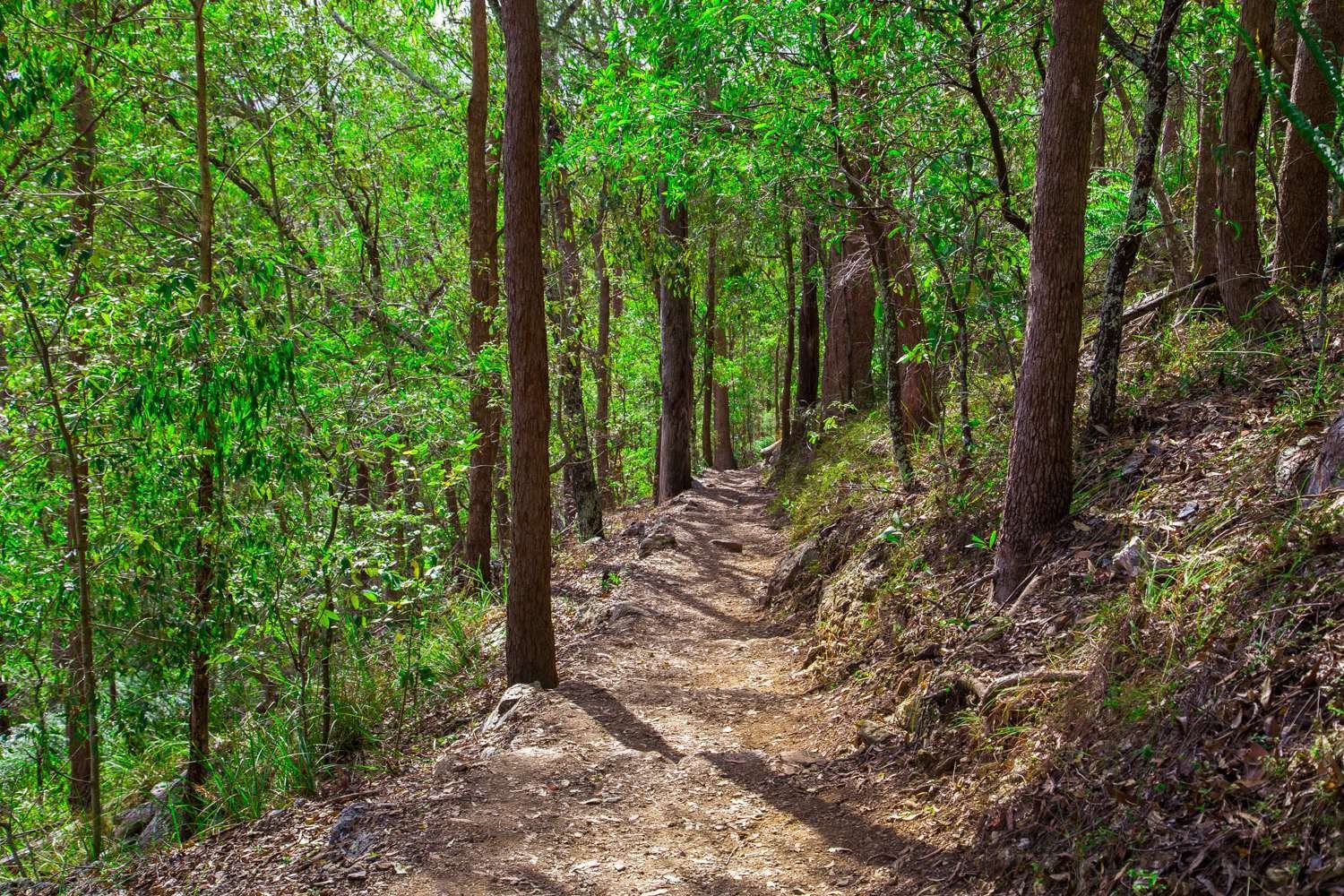
The best bush walks in Brisbane are inside the city limits, and most are 15 to 35 minutes by car from the CBD. We have sorted 20 of them by length, from a 650 m stroll to a 17 km track, and said for each one what the post for that place confirms about dogs, toilets, water and parking.
Grades come from the council or Seqwater where they publish one. Where they do not, we say so rather than guess, and tell you to check the track map before you set off.
Short and easy walks (under about 1.5 km)
Ghost Hole Track, Mount Coot-tha
An easy 650 m walk of about 15 minutes from the Gold Mine Picnic Area, past traces of old gold mines. It is one of the shortest walks in the 1,600 hectare forest, which has more than 18.5 km of tracks and nine picnic areas. Entry is free, and dogs are allowed on a lead. See our Mount Coot-tha Forest guide.
Simpsons Falls Track, Mount Coot-tha
A 650 m walk of about 40 minutes at a moderate fitness level, ending at a viewing deck by the falls, with wildflowers along it in late winter and spring. The Simpson Falls picnic area is open 6 am to 7 pm daily. See our Mount Coot-tha Forest guide.
Sandstone Circuit, Toohey Forest
A 750 m loop of about 30 minutes that starts at the Toohey picnic area and winds up a sandstone knoll. The picnic areas have barbecues and are open 6 am to 7 pm, but toilets are not listed for the forest, so plan ahead. Dogs are allowed on a leash, and there are two car parks off Toohey Road, Tarragindi. See our Toohey Forest guide.
Summit Track, Mount Gravatt Lookout
A 1.2 km walk of about 40 minutes one way from Gertrude Petty Place, climbing through bush to a lookout with a cafe, playground and toilet block at the top. Dogs are allowed on a leash. You can also drive to the summit via Shire Road, and no bus to the top is listed. See our Mount Gravatt Lookout guide.
Anstead Bushland Reserve
The walking track from the picnic area to the lookout is about 800 m each way, with a short flight of steps at the end, so it is not step-free. The picnic area has two electric barbecues, an accessible toilet, drinking water and a car park at 552 Hawkesbury Road, and dogs must be on a leash. It is about 35 minutes by car from the CBD, and the tracks have no published grade. See our Anstead Bushland Reserve guide.
Whites Hill Reserve, Camp Hill
Twelve interconnected tracks rated easy to moderate, none longer than 900 m. The Whites Hill Circuit is 565 m (about 30 minutes) and, like the Sankey’s Mountain Summit Track (865 m), is suitable for wheelchair users with assistance. The reserve is open 24 hours, with toilets in daylight hours, a fully fenced playground and an off-leash dog park, and dogs elsewhere must be on a lead. It is about 15 minutes by car from the CBD. See our Whites Hill Reserve guide.
Boondall Wetlands
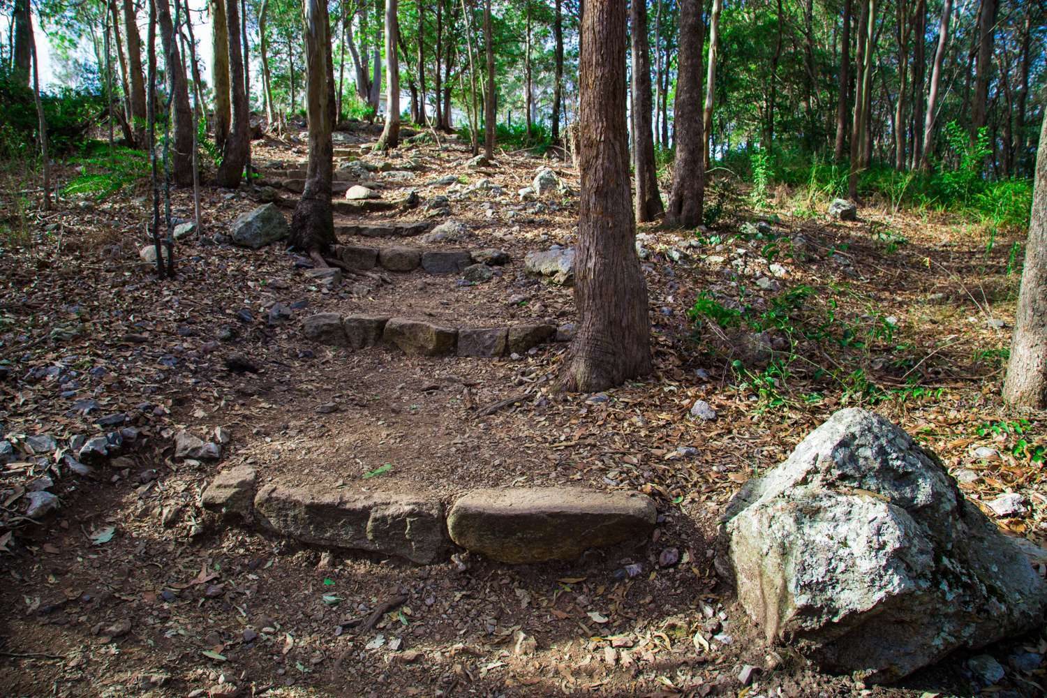
Three easy, mostly flat walks from 100 m to 2 km: the 1.5 km boardwalk through the mangroves (about 1 hour), the 2 km Billai dhagun Circuit with a second bird hide, and a 100 m plant walk. The reserve is open 6 am to 7 pm, with toilets at the Environment Centre (Tuesday to Friday 9 am to 4 pm, weekends 9 am to 12 pm, closed Monday). Dogs are allowed on a leash. Check the tide chart, as the tracks can be muddy or flooded after heavy rain or very high tides. See our Boondall Wetlands guide.
Tinchi Tamba Wetlands, Bald Hills
A 1 km track across grassland to a bird hide, or a 3 km track with a boardwalk over saltmarsh and mangroves and a forest loop. Both are mostly flat. The reserve is open 24 hours, and Deep Water Bend has a playground, fresh water, barbecues and toilets. Dogs are allowed on a leash, and there are three car parks on Wyampa Road. See our Tinchi Tamba Wetlands guide.
Kangaroo Point Cliffs Park
A clifftop park with the Cliffs Boardwalk, city views, toilets, water bubblers, picnic areas and a cafe, open 24 hours. Our guide does not give a track length. Dogs are allowed on a leash, parking is metered on River Terrace (free for 15 minutes or less), and the Cross River ferry stops at Holman Street. See our Kangaroo Point Cliffs guide.
Half-day walks (about 1.5 to 5 km)
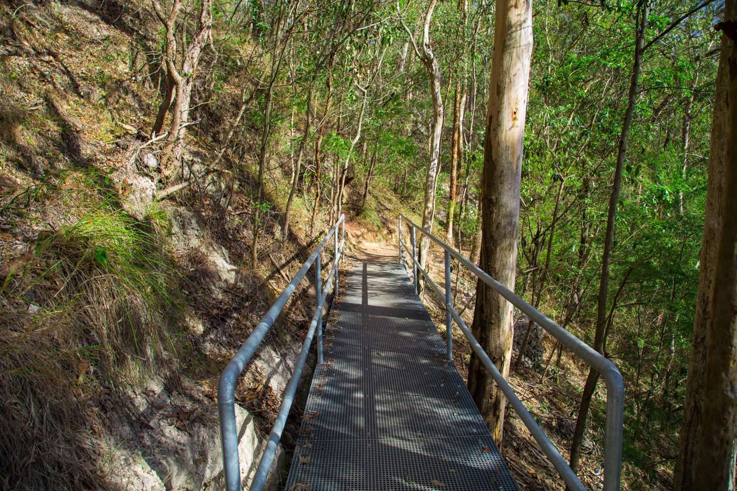
Summit Track from J C Slaughter Falls to Mt Coot-tha Lookout
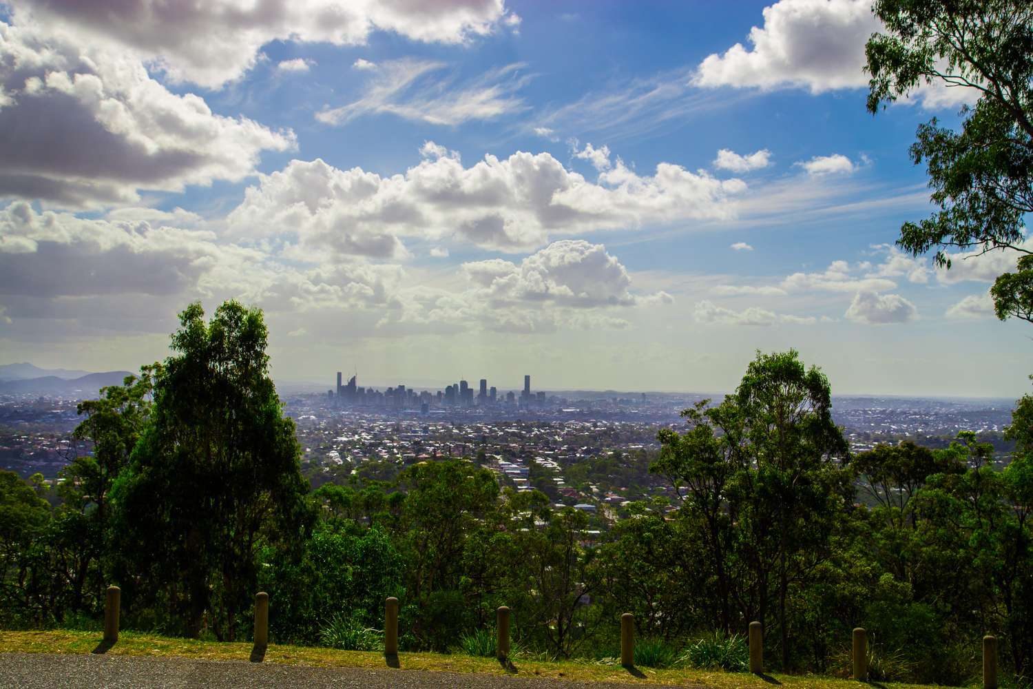
The classic. It is 1.9 km one way, about 30 minutes, mostly paved with some stairs, finishing at the lookout where there is a cafe. The picnic area has toilets, barbecues and a car park, is open 6 am to 7 pm daily and is about 20 minutes by car from the CBD. Dogs are allowed on a lead. See our J C Slaughter Falls guide and Mt Coot-tha Lookout guide.
Mahogany Trail, Mount Coot-tha
The longer way up from the same picnic area: 2.6 km one way, about 1 hour 15 minutes, through open eucalypt forest with glimpses of the city. It is shared with bike riders and horses, so keep your eyes up. See our Mount Coot-tha Forest guide.
Toohey Mountain, Toohey Ridge and Nathan Ridge tracks
The Toohey Mountain Track is 1.5 km (about 50 minutes) to Pegg’s Lookout, the Toohey Ridge Track is 3 km (about 1 hour) and the Nathan Ridge Track is 3.5 km (about 1 hour), an all-weather track that is also a bikeway. Grades run from easy to hard, so download council’s track map first. The forest is open 24 hours and joins the Mount Gravatt tracks. See our Toohey Forest guide.
Karawatha Forest
Thirty walking tracks graded easy, moderate and hard, from 488 m to 2.6 km, through bush with frogs, gliders and echidnas. The park is open 6 am to 6 pm daily. The free Discovery Centre (Tuesday to Sunday, 9 am to 4 pm) has toilets and a nature-play space, and dogs must be on a leash at all times. It is about 25 minutes by car, and no bus route is listed. See our Karawatha Forest guide.
Brisbane Koala Bushlands, Burbank
Three trails from 1.4 km to 6.2 km, mostly flat, open 8 am to 6 pm daily. Koalas are most active near opening and closing time. The Alperton Road entrance has a picnic area, electric barbecues and toilets, but there is no drinking water, so bring your own. Dogs are allowed on a leash, and bikes are not allowed. See our Brisbane Koala Bushlands guide.
Oxley Creek Common, Rocklea
The Secret Forest walk is about 4.6 km return, about an hour, graded easy and flat. There is little shade, so go early and take a hat and water. The Red Shed at the start has covered seating, composting toilets and water, entry is free, and the nearest Translink stop is Sherwood Rd at Markets, Rocklea. See our Oxley Creek Common guide.
Banks Street Reserve, Alderley
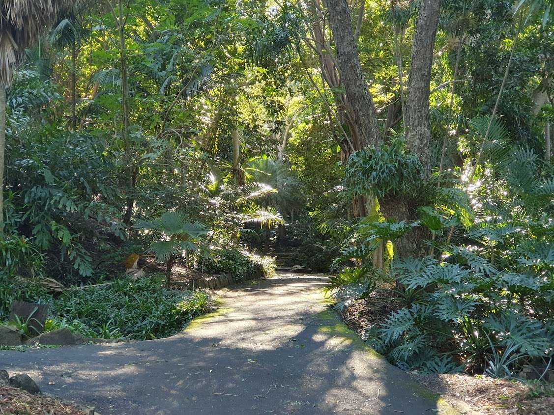
A network of dirt tracks rated easy to hard, some with stairs, along Enoggera Creek and open 24 hours, about 15 minutes by car from the CBD. There are no toilets, so plan ahead. Dogs are allowed on a leash, and parking is on the street. See our Banks Street Reserve guide.
Longer and harder walks
Gold Creek Reservoir loop, Brookfield
A 4.5 km loop that Seqwater rates moderately difficult and steep in places, through tall eucalypts and dry rainforest. Allow a good part of a morning. It is open 5:30 am to 6:30 pm from September to April and 6 am to 5:30 pm from May to August, with picnic tables and a toilet at the day use area. Dogs and swimming are not allowed. It is about 35 minutes by car. See our Gold Creek Reservoir guide.
Eugenia Circuit and Spotted Gum Trail, Mount Coot-tha
The Eugenia Circuit is 2.8 km (about 1.5 hours) and links to other tracks. The Spotted Gum Trail is 2.4 km (1 to 1.5 hours) with about 250 concrete steps, starting at the gates of the Australian Plant Communities garden. Walk with a friend, because some parts of the mountain have no mobile coverage. See our Mount Coot-tha Forest guide.
Enoggera Reservoir and the D’Aguilar trails, The Gap
The reservoir is the entry point to a large trail network that runs on to Gold Creek Reservoir and Lake Manchester. Our guide gives no single track length, so check the trail signs. Swimming is allowed only in the buoyed area (there are no lifeguards), and dogs are not allowed. It is about 30 minutes by car via the Walkabout Creek Discovery Centre. See our Enoggera Reservoir guide.
Lake Manchester Main Track
The Main Track is 17 km for walking, running, mountain biking and horse riding, so treat it as a long day or walk a section. Dogs and swimming are not allowed, and it is about 50 minutes by car from the CBD. Opening hours in our guide date from 2021, so check Seqwater’s current rules first. See our Lake Manchester guide.
A bit further out
These are an hour or so from the city, so make them a day trip. Dogs are not allowed in the national parks below (Daisy Hill Conservation Park has its own rule, given in its item). Our day trips from Brisbane guide has more.
- Glass House Mountains (about 65 minutes by car): the Mount Tibrogargan circuit is a 4.1 km loop of about 1.5 hours (grade 3) and does not go to the summit; the Mount Ngungun summit walk is 2.8 km return, about 2 hours (grade 4). See Glass House Mountains, Mount Tibrogargan and Mount Ngungun.
- Mount Nebo (about 45 minutes): Egernia Circuit (1.5 km), Pitta Circuit (1 km) and the 6 km return Morelia track, plus Jollys Lookout over the Samford Valley. See Mount Nebo.
- Mount Glorious (about 50 minutes): from the Maiala day-use area, the 2 km Rainforest Circuit, the 1.2 km return Western Window Track and the 4.3 km return walk to Greenes Falls. See Mount Glorious and D’Aguilar National Park.
- Daisy Hill Conservation Park (about 35 minutes): a short, easy, wheelchair-accessible Paperbark Trail plus circuits of 5.2 km, 5.7 km and 9 km. Dogs are allowed on a leash on marked walking tracks. See Daisy Hill Conservation Park.
- Cedar Creek Falls, Tamborine Mountain (about 65 minutes): a sealed, easy 500 m return lookout walk (grade 1) and a grade 3 walk down to the rock pools with many stairs. Queensland Parks lists limited parking at Cedar Creek until 3 May 2027 and severe weather damage in Tamborine National Park until 18 Dec 2026, so check the alerts page and arrive early. See Cedar Creek Falls.
Staying safe on Brisbane bush walks in summer
- Start early and carry water. Oxley Creek Common has little shade, and Brisbane Koala Bushlands has no drinking water.
- After heavy rain, check the track first. Council warns of washouts, ruts and uneven surfaces, and some tracks cross creeks that are unsafe when flooded. The Mount Coot-tha bike trails close during and after wet weather.
- Tell someone where you are going and when you will be back. Some parts of Mount Coot-tha have no mobile coverage, so download the track map before you leave.
- Snakes and biting insects are more active in warm weather. If someone is bitten, call 000 and follow our snake bite first aid guide.
- Check the Queensland Parks alerts page before a national park walk, because tracks can close at short notice.
For more on gear and safety, see hiking in South East Queensland and our nature walks page.
Quick answers
What are the best bush walks in Brisbane?
For a classic, the Summit Track from J C Slaughter Falls to Mt Coot-tha Lookout (1.9 km one way). For birds, Boondall Wetlands. For koalas, Brisbane Koala Bushlands. For a long loop, the 4.5 km Gold Creek Reservoir walk.
What are the easiest bush walks in Brisbane?
The 650 m Ghost Hole Track at Mount Coot-tha, the short walks at Boondall Wetlands (rated easy) and the Whites Hill Reserve tracks, none longer than 900 m, are the easiest.
Can you take dogs on Brisbane bush walks?
Yes in most council reserves, on a lead. Not at Gold Creek Reservoir, Enoggera Reservoir or Lake Manchester (Seqwater), and not in national parks such as D’Aguilar or the Glass House Mountains.
Which Brisbane walks have toilets?
Whites Hill Reserve, Karawatha Forest (at the Discovery Centre), Boondall Wetlands (at the Environment Centre), Tinchi Tamba (Deep Water Bend), J C Slaughter Falls, Anstead and Gold Creek Reservoir all list them. Toohey Forest and Banks Street Reserve do not.
Are there walks near Brisbane that suit a summer morning?
Walks with shade and a short distance suit best, such as the Mount Coot-tha forest tracks or Toohey Forest. Avoid the open, shadeless Oxley Creek Common walk in the middle of the day.
0 Comments