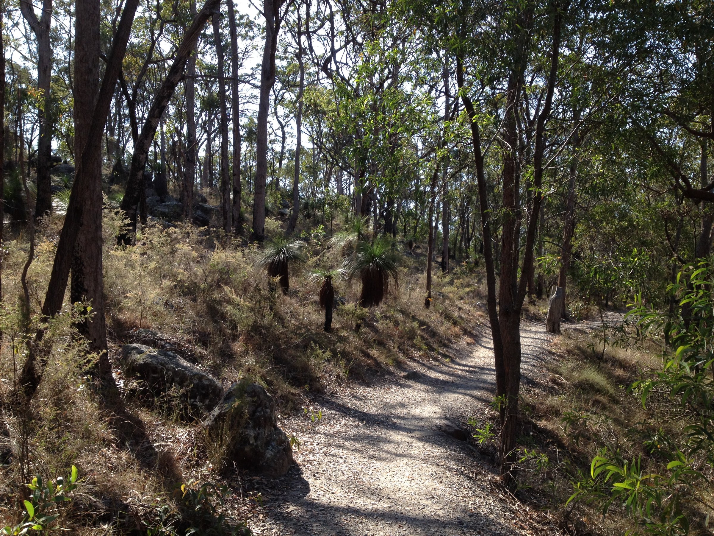
Toohey Forest Park is a 260 hectare bushland park in Brisbane’s southern suburbs, with sandstone walking tracks, grass trees, two barbecue picnic areas and a few lookouts. It is about 12 km from the CBD, and you can be on a bush track within minutes of leaving the road.
The forest joins Mount Gravatt Outlook Reserve through its walking trails, so you can make a short loop or a longer walk, then finish with the view from the lookout at the top of Mount Gravatt.
Walks in Toohey Forest
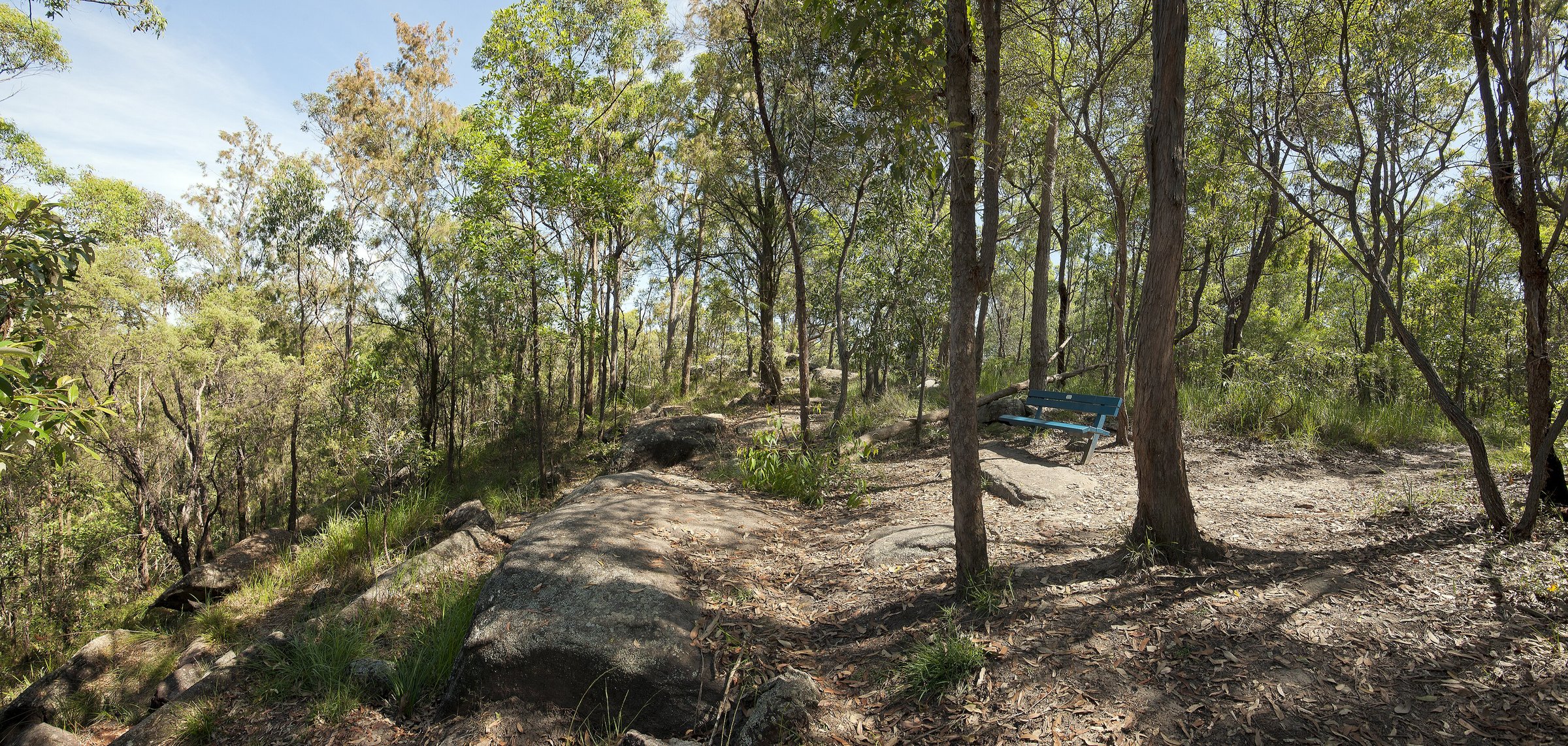
Tracks wind through large sandstone outcrops and eucalypt forest, with grass trees and banksias in the understorey. The wildflowers are at their best in late winter and spring. The tracks have easy, moderate and hard grades and are a mix of paved and unpaved surfaces.
Sandstone Circuit
This 750 m track starts at the Toohey picnic area and winds up the sandstone knoll. It takes about 30 minutes and is the shortest of the popular walks.
Toohey Mountain Track
This 1.5 km track leaves from the Mayne Estate picnic area and follows the ridge south to Pegg’s Lookout, taking about 50 minutes. From the lookout you overlook Archerfield towards Ipswich, Flinders Peak and the ranges beyond.
Toohey Ridge Track and Nathan Ridge Track
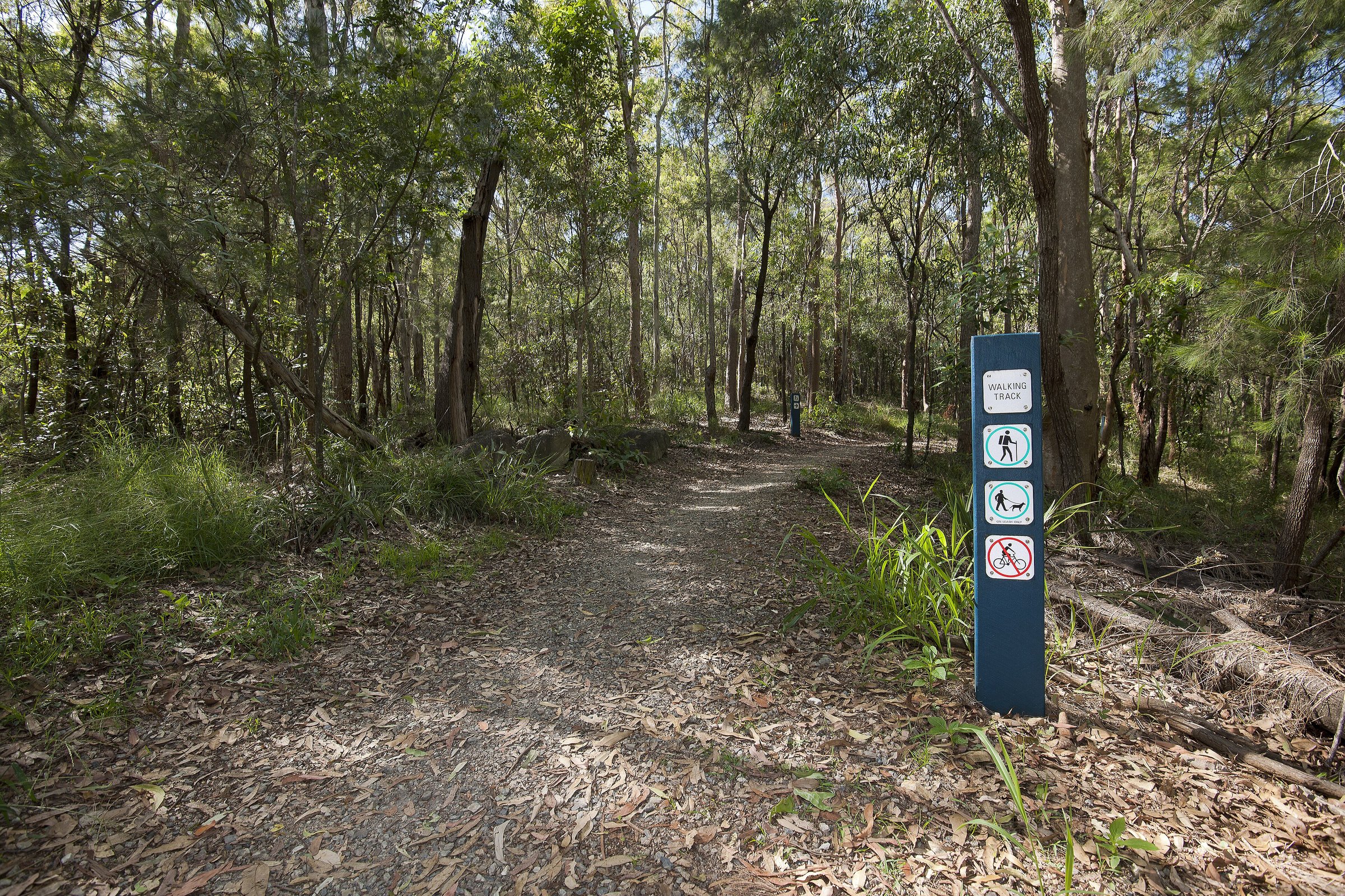
The Toohey Ridge Track is 3 km (about 1 hour) and runs from the Toohey picnic area along the ridgeline to the South East Freeway. It passes Planchon’s stringybark and Bailey’s stringybark, which are not common in Brisbane. The Nathan Ridge Track is 3.5 km (about 1 hour), an all-weather track that connects with the Griffith University ring road and leads to other tracks in the forest.
Of the two, the Nathan Ridge Track is a designated bikeway (the Toohey Ridge Track has a small side track that joins the main bikeway). You can reach the Mount Gravatt end of the network on foot too: the 1.2 km Summit Track from Gertrude Petty Place takes about 40 minutes to reach the lookout, and the Mount Gravatt Lookout guide covers the cafe and playground at the top.
Wildlife in Toohey Forest
The forest is home to koalas, echidnas and gliders, more than 75 species of birds, and reptiles, butterflies and frogs. Across Toohey Forest and Mount Gravatt Outlook Reserve there are more than 400 species of native wildlife and plants. Council asks you not to touch or interfere with wildlife or plants.
Picnic areas and barbecues
Mayne Estate and Toohey picnic areas both have barbecues and are open from 6 am to 7 pm daily. The park itself is open 24 hours. Toilets are not listed for Toohey Forest, so use the facilities at the Mount Gravatt lookout or plan ahead.
Is Toohey Forest dog friendly?
Yes, on a leash. Clean up after your dog. The nearest off-leash area is Salisbury Recreation Reserve, on the corner of Evans Road and Wincott Street.
Rules and bouldering
Camping, fires, horse riding and littering are not allowed, and you must stay on the designated tracks. Bouldering is allowed only in two designated areas: next to the Sandstone Rest Area and next to the Escarpment Track. Council has a bouldering locations map and guidelines.
Planning your visit
- How long: 30 minutes for the Sandstone Circuit; 1 to 2 hours for a ridge track; half a day to link the forest with Mount Gravatt.
- Best time: late winter and spring for wildflowers; an early start in summer.
- What to bring: water, a hat, sunscreen, comfortable shoes and a track map from council.
- Accessibility: some tracks are paved, but council does not publish which ones are suitable for wheelchairs or prams, so check the track map.
- Mobile coverage: council warns that full coverage may not reach all areas. In an emergency call 000.
Getting there and parking
Toohey Forest Park is at 600 Toohey Road, Nathan. By car, enter from Toohey Road, Tarragindi, where there are two car parks. The park is about 12 km and about 20 minutes by car from the Brisbane CBD. Council does not list car park hours or fees.
You can also walk in from surrounding streets, and the Intercampus Link connects Griffith University’s Nathan and Mount Gravatt campuses through the forest. For public transport, use the Translink Journey Planner or call 13 12 30. Download the Toohey Forest track map from Brisbane City Council. Details can change, so check before you go.
Nearby
- Mount Gravatt Lookout – city views, a cafe and a playground at the top of the mountain.
- Karawatha Forest – a bigger bushland reserve with a discovery centre.
- Moorooka – food, heritage and parks on the other side of the freeway.
- Sunnybank – Asian food and shops for a post-walk meal.
- Mount Coot-tha Forest – Brisbane’s other big bushland park.
- Anstead Bushland Reserve – a quieter bush walk on the western edge of the city.
- Hiking in South East Queensland – what to bring.
Browse more nature walks and things to do in Brisbane.
You might also like
- Koala Bushlands (Burbank)
- Boondall Wetlands (Brisbane)
- Eagleby Wetlands (Logan)
Quick answers
Where is Toohey Forest?
Toohey Forest Park is at 600 Toohey Road, Nathan, about 12 km south of the Brisbane CBD.
Is Toohey Forest free?
The park is open 24 hours and no entry fee is listed.
Can you take dogs to Toohey Forest?
Yes, on a leash. The nearest off-leash area is Salisbury Recreation Reserve.
How long are the Toohey Forest walks?
The Sandstone Circuit is 750 m (about 30 minutes), the Toohey Mountain Track 1.5 km (about 50 minutes), the Toohey Ridge Track 3 km (about 1 hour) and the Nathan Ridge Track 3.5 km (about 1 hour).
Are there barbecues at Toohey Forest?
Yes, at the Mayne Estate and Toohey picnic areas, open 6 am to 7 pm daily.
Can you ride a bike in Toohey Forest?
Only on the designated bikeways: Lophostemon Track, Nathan Ridge Track, Dellwood Track, Intercampus Link and the Tarragindi Bikeway Link. Wear a helmet, keep left and give way to walkers.

0 Comments