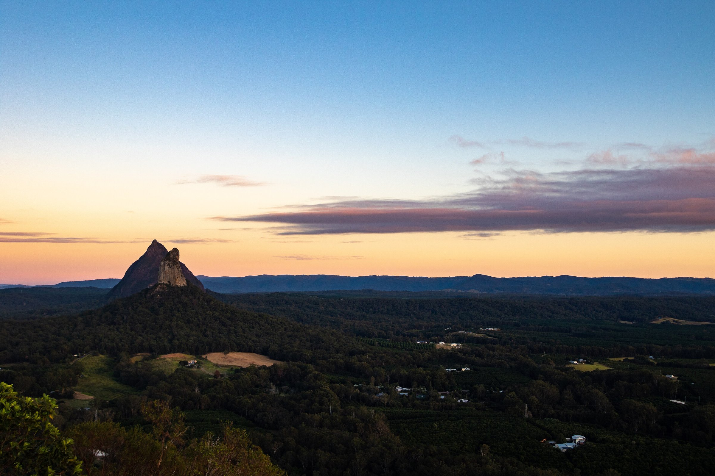
Mount Ngungun is a 253 m volcanic peak in Glass House Mountains National Park, about 70 km north of Brisbane, with a 2.8 km return summit walk that finishes with 360-degree views of Mount Beerwah, Mount Coonowrin and Mount Tibrogargan. The walk is graded 4 and takes about two hours, so it is a proper bush climb rather than a stroll, but the views repay the effort.
It starts at a car park off Fullertons Road and is one of the most popular hikes on the Sunshine Coast. This guide covers the Mount Ngungun walk itself; for the other peaks, walks and lookouts, see our Glass House Mountains guide.
Mount Ngungun walk: distance, time and difficulty
The Mount Ngungun summit walk is 2.8 km return and takes about 2 hours. It is graded 4, which means a moderate level of fitness, and it starts in open forest at the end of Fullertons Road.
The track passes close to cliff edges, so keep children close and do not let them run ahead. Rocks near the summit are very slippery when wet.
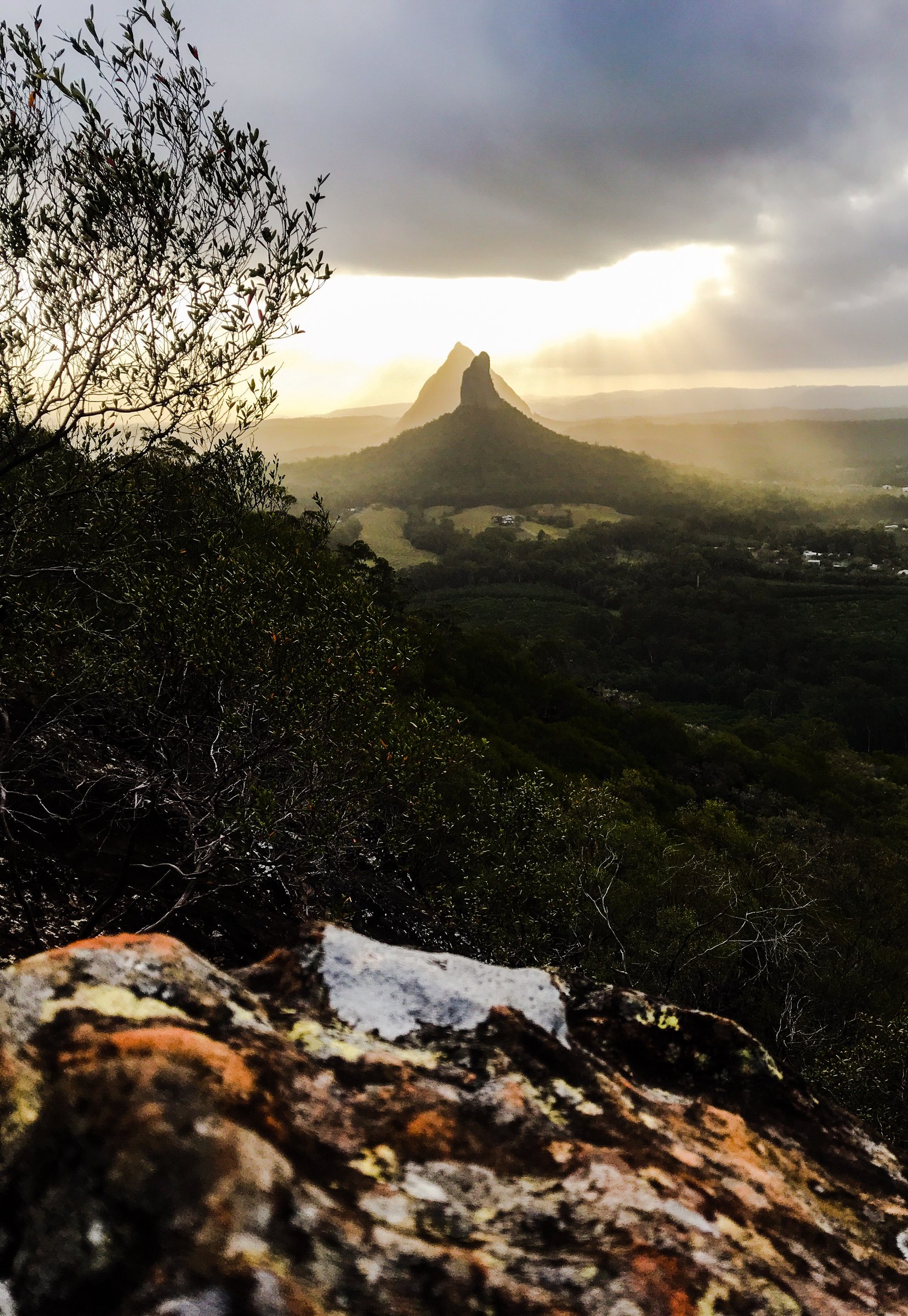
The views from the top
At the summit you get a 360-degree panorama of the coast and hinterland, with Tibrogargan, Coonowrin and Beerwah in front of you.
The summit routes on Beerwah and Tibrogargan are extremely challenging and only for very fit, experienced climbers, and Queensland Parks says they are not for people who are inexperienced or have young children. Ngungun, by comparison, is a graded walking track and one of the most popular hikes on the Sunshine Coast.
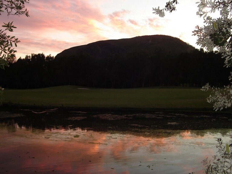
Sunrise and sunset are the times Visit Sunshine Coast suggests, when the sky can turn bright, multicoloured shades. Work out your timing before you set off so you are not coming down the rocks in the dark.
About Mount Ngungun
Ngungun is one of the volcanic peaks of the Glass House Mountains, a cluster of hills formed by volcanic activity millions of years ago.
Parking and facilities at the start
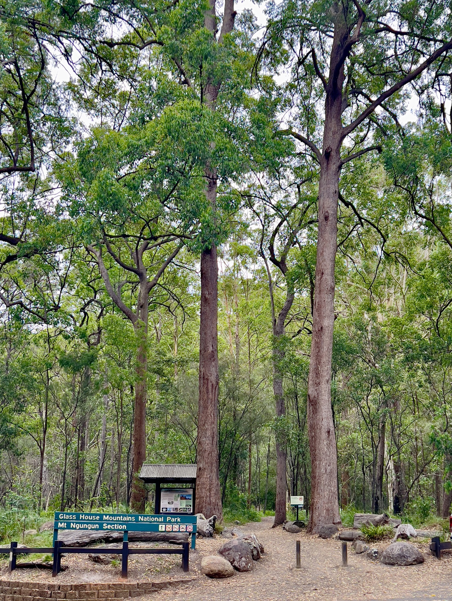
The walk starts from a car park on Fullertons Road. A drinking-water tap is marked at the car park, but bring your own water.
No toilets are listed at the Ngungun car park. The nearest public toilets are at Rotary Settlers Park, 6 Reed Street in the Glass House Mountains township, about 2.5 km by road away, and they are open 9 am to 4 pm daily. The park also has a fully fenced playground, a barbecue and picnic tables, which makes it a good place for a break before or after the walk.
The Glass House Mountains Visitor and Interpretive Centre is in the same park, on the corner of Bruce Parade and Reed Street. Volunteer ambassadors can give tips on local walks, and you can ring the centre on 1300 847 481.
Is Mount Ngungun dog friendly?
No. Dogs are prohibited on the walks in Glass House Mountains National Park. Camping is not allowed in the park either; the Coochin Creek camping area, in nearby Beerwah State Forest, is the closest place to stay overnight.
Planning your visit
- How long: about 2 hours for the walk, plus time at the top for the view.
- Best time: sunrise or sunset, but not in wet weather. It is one of the most popular hikes on the Sunshine Coast, so go early on weekends.
- Cost: no entry fee is listed for the walk.
- What to bring: plenty of water, supportive boots and sun protection. Our tips for hiking trails in South East Queensland cover the rest, and it is worth knowing what to do for a snake bite before any bush walk.
- With kids: Queensland Parks describes the walk as adventurous and suitable for families, but it is graded 4 and passes close to cliff edges, so it suits children used to bush walking who stay beside an adult.
- Safety: check the Queensland Parks alerts for closures before you go, tell someone your plans and call 000 in an emergency.
- Accessibility: no accessibility details are published for the track. Ring Queensland Parks on 13 74 68 if you need to be sure.
Getting there and parking
By car, take the Bruce Highway (M1) north to the Glass House Mountains tourist drive exit onto Steve Irwin Way and follow the signs. Ngungun has its own access road, and the car park is on Fullertons Road. It is about 70 km by road from the Brisbane CBD, about 65 minutes by car without traffic, and about 2.5 km by road from the Glass House Mountains township.
By train, Glass House Mountains station is on the Sunshine Coast line (Translink T1 Nambour and Gympie North trains), but the walk is not at the station. No bus to the trailhead is listed, so plan the trip with the Translink Journey Planner.
More on the walk is on Visit Sunshine Coast’s Mount Ngungun page, and the Queensland Parks page for Glass House Mountains National Park carries the park alerts. Details can change, so check before you go.
Nearby
- Glass House Mountains – the other peaks, walks and drive-up lookouts.
- Australia Zoo – the wildlife park at Beerwah, on Steve Irwin Way, the road you take to reach the mountains.
- Mount Coolum – another Sunshine Coast mountain with a summit walk.
- Montville – a hinterland village for a cafe stop on the way home.
- Noosa National Park – coastal walks if you want a flatter day.
- Things to do on the Sunshine Coast – more ideas for the same weekend.
Browse more hiking trails, lookouts and Glass House Mountains places.
Quick answers
How long is the Mount Ngungun walk?
The summit walk is 2.8 km return and takes about 2 hours.
How hard is Mount Ngungun?
It is graded 4, which needs a moderate level of fitness. The track passes close to cliff edges and the rock near the top is very slippery when wet.
Is Mount Ngungun good for kids?
Queensland Parks describes it as suitable for families, but keep children close because of the cliff edges. It suits kids who are used to bush walking.
Where do you park for Mount Ngungun?
In the car park on Fullertons Road, Glass House Mountains, where the walk starts. It is about 65 minutes by car from the Brisbane CBD.
Are there toilets at Mount Ngungun?
None are listed at the car park. The nearest are at Rotary Settlers Park in the township, open 9 am to 4 pm daily.
Can I take my dog to Mount Ngungun?
No. Dogs are prohibited on the walks in Glass House Mountains National Park.
What is the best time to walk Mount Ngungun?
Sunrise or sunset, for the colour in the sky. Avoid it in wet weather, when the rocks near the summit are very slippery.
0 Comments