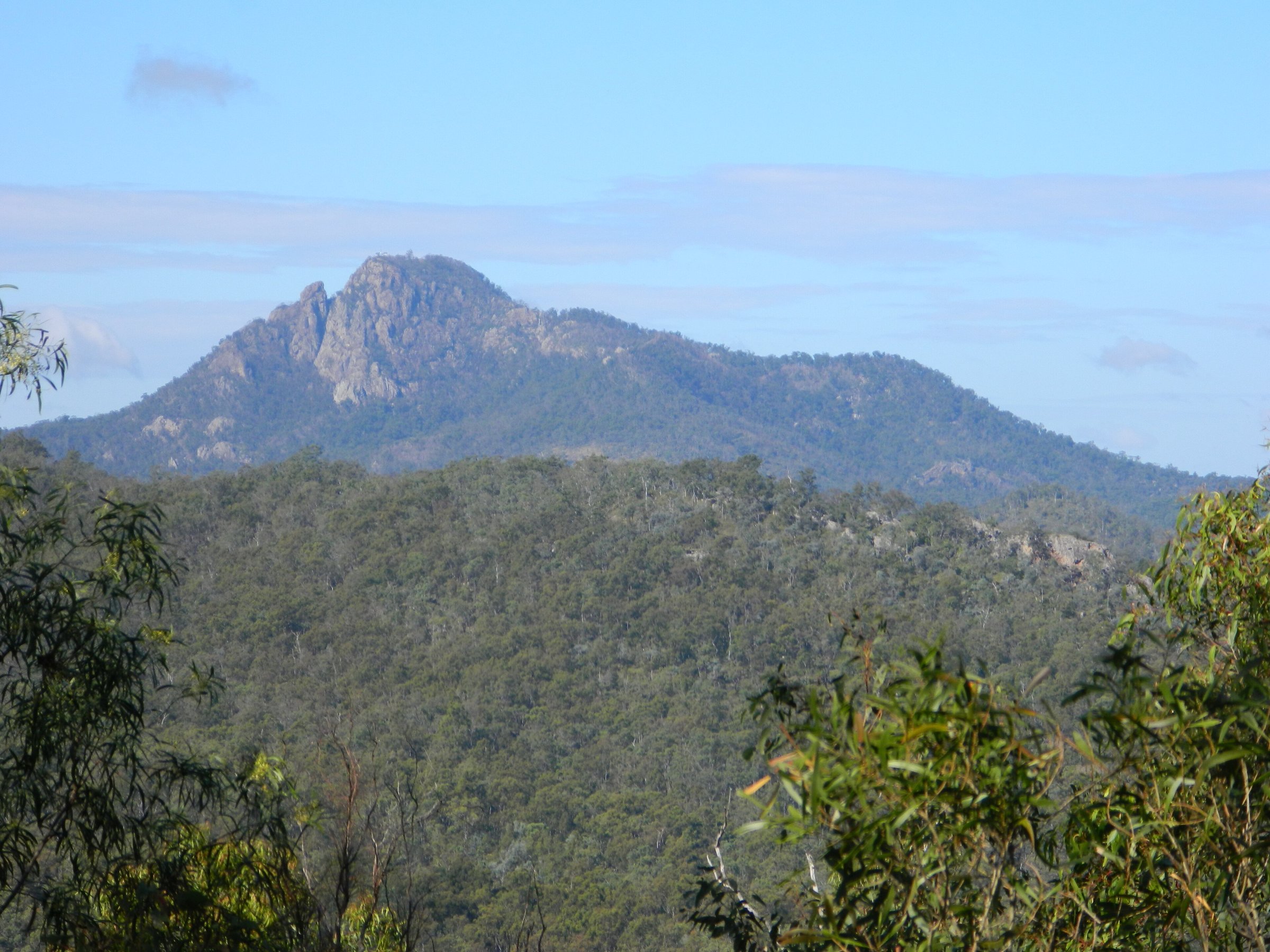
Flinders Peak is a rocky, 679 m peak south of Ipswich, and the Flinders Peak walk from the Flinders Plum Picnic Area is one of the toughest day walks in the Ipswich area. The summit track is rated Class 5 (advanced), and experienced walkers should allow a full day to reach the top and return safely.
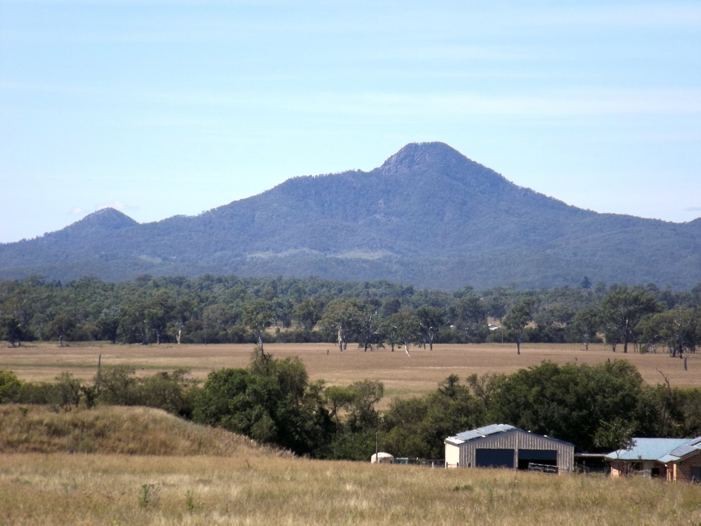
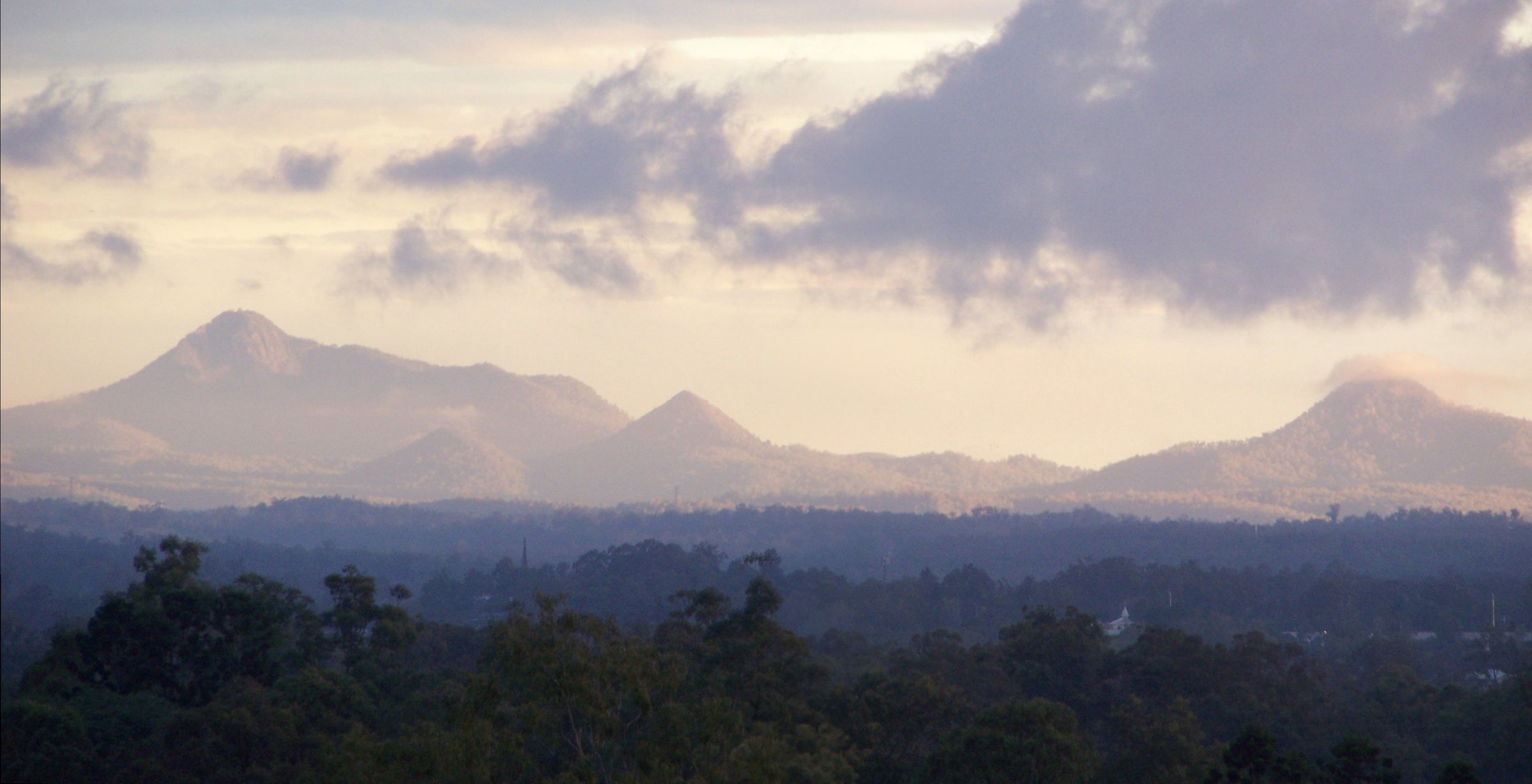
The peak is part of the Flinders-Goolman Conservation Estate, a bush area of more than 2,200 hectares that also takes in Mt Blaine, Mt Catherine and Mt Goolman. If you are not ready for the summit, the picnic area and views of the peak from the estate make an easier visit.
The Flinders Peak walk
The walk starts at the Flinders Plum Picnic Area and climbs the ridge to the summit. The council rates the Flinders Peak Track Class 5 (advanced). Distances come from a walkers’ site, Aussie Bushwalking, not the council: it lists about 6.5 km return (its own description says about 5.5 km), a top height of 678 m and about 600 m of climbing.
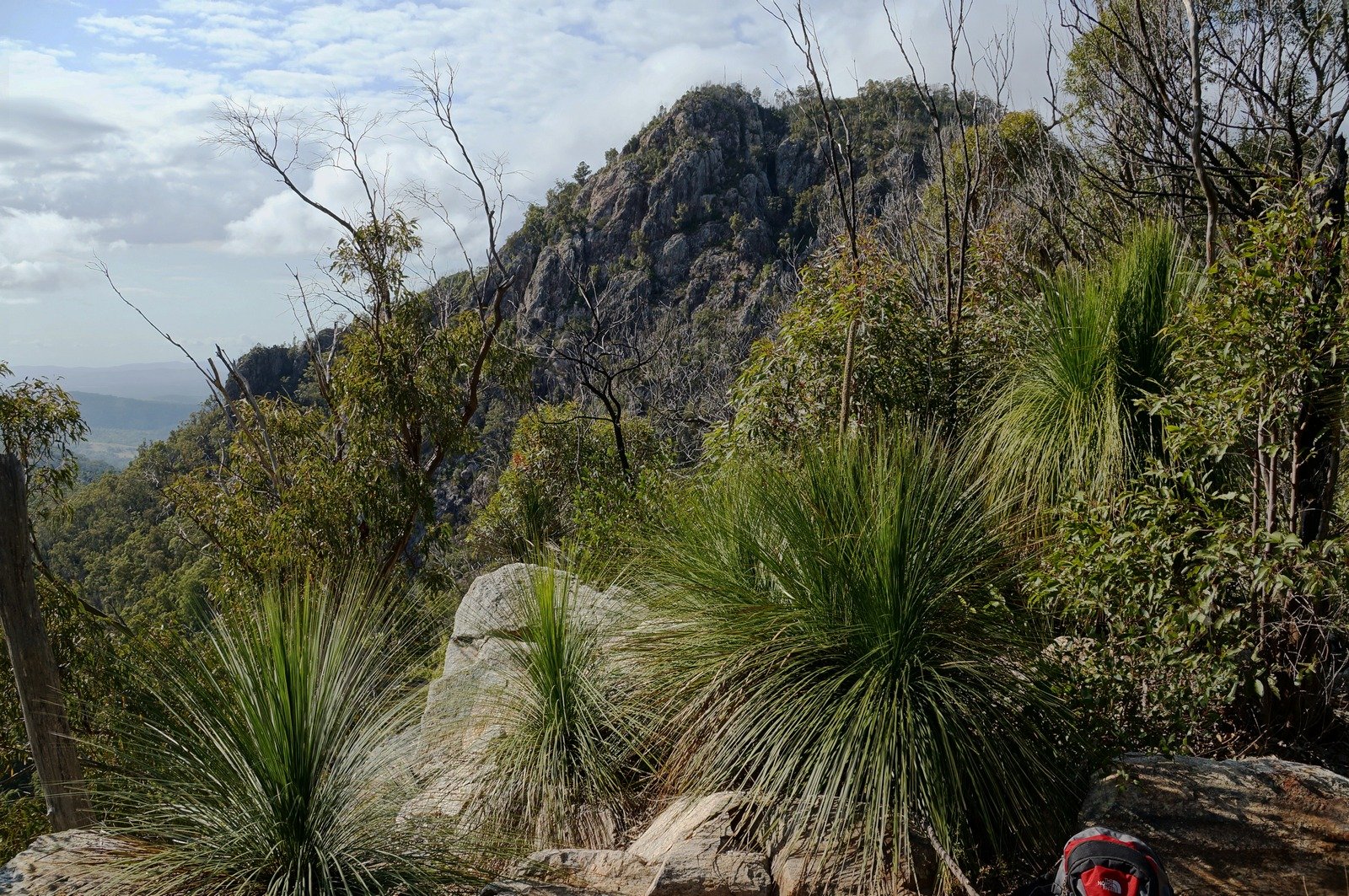
A wide track leads up the ridge, then narrows and steepens over loose ground. Walkers describe several lookouts toward Brisbane and the Main Range. Higher up, the ridge gets more boulder-strewn and the track fades, so you follow triangular trail markers through the rocks. After a drop to a saddle between the peaks, there is a steep final climb of about 130 m to the summit, which has a helipad and a UHF transmitter. Views are good in all directions.
Is the Flinders Peak walk dangerous?
It is demanding rather than technical, but it has real hazards. The walk notes describe rough surfaces, steep inclines, cliff edges, limited signage and no water sources, with rock scrambling in places where you need both hands. Sturdy footwear matters, and the sheer eastern face needs care.
The area is remote, with intermittent phone reception and rugged terrain. Tell someone your plan before you go, and obey all signage.
Flinders Plum Picnic Area
The Flinders Plum Picnic Area is on Mt Flinders Road, Peak Crossing, and is open 6 am to 6 pm, seven days a week. It has car parking, public toilets, picnic seats and benches, shelters and a lookout. Horse floats cannot park here; they go to Hardings Paddock instead.
Closures of the estate or its trails can happen at short notice, so check the Ipswich City Council website before you leave, and do not walk if you find a closure sign.
Other parts of the estate
Hardings Paddock Picnic Area is on Carmichaels Road, Purga, and has barbecues and public toilets. Ipswich City Council describes it as the only bush camping among the region’s natural reserves. It also has a permanent Kupmurri cooking area, where cultural practices continue, and a bush tucker trail.
The name and the story
Matthew Flinders named the peak “High Peak” in 1799, and John Oxley introduced the name Flinders Peak in 1824. Ipswich City Council gives the Aboriginal name as Burrumpah/Booroongaph and describes the peak as part of a Dreaming landscape that was also used as a marker to guide visiting clans.
Planning your visit
- How long: A full day for the summit.
- Best time: Cooler months and an early start; skip it in wet weather.
- What to bring: All the water you need, sturdy boots, sun protection and a charged phone (reception is patchy).
- Dogs: Dogs are prohibited in the Flinders-Goolman Conservation Estate.
- Cost: Free to visit.
Getting to Flinders Peak and parking
The walk starts at the Flinders Plum Picnic Area on Mt Flinders Road, Peak Crossing. By car it is about 55 minutes from the Brisbane CBD and about 25 minutes from central Ipswich. The Ipswich City Council Flinders Plum page has the current details; there is car parking at the picnic area.
Walkers report that the dirt road to the picnic area can be affected by water crossings and closures after rain, so check conditions before you set out.
You might also like
- Mount Greville – a Scenic Rim peak walk.
- Mount Barney – a tougher peak in the Scenic Rim.
- Queens Park, Ipswich – an easy day out in the city.
Peak Crossing – the nearest town to the start of the walk.
Mount Forbes – another peak in the area.
Spring Mountain – bush and parks to the east.
Hiking tips, all hiking trails and Ipswich.
Quick answers
How long does the Flinders Peak walk take?
Allow a full day, as the council advises. Walkers on Aussie Bushwalking report anything from about 3.5 hours to 5 hours with long rests, but those are not official times.
How hard is Flinders Peak?
The council rates the track Class 5 (advanced), and walkers describe steep, rocky ground and some scrambling.
Can you take a dog up Flinders Peak?
No. Ipswich City Council lists the Flinders-Goolman Conservation Estate as a conservation area where dogs are prohibited.
Where do you park for Flinders Peak?
At the Flinders Plum Picnic Area on Mt Flinders Road, Peak Crossing, open 6 am to 6 pm.
How high is Flinders Peak?
About 679 m above sea level.



0 Comments