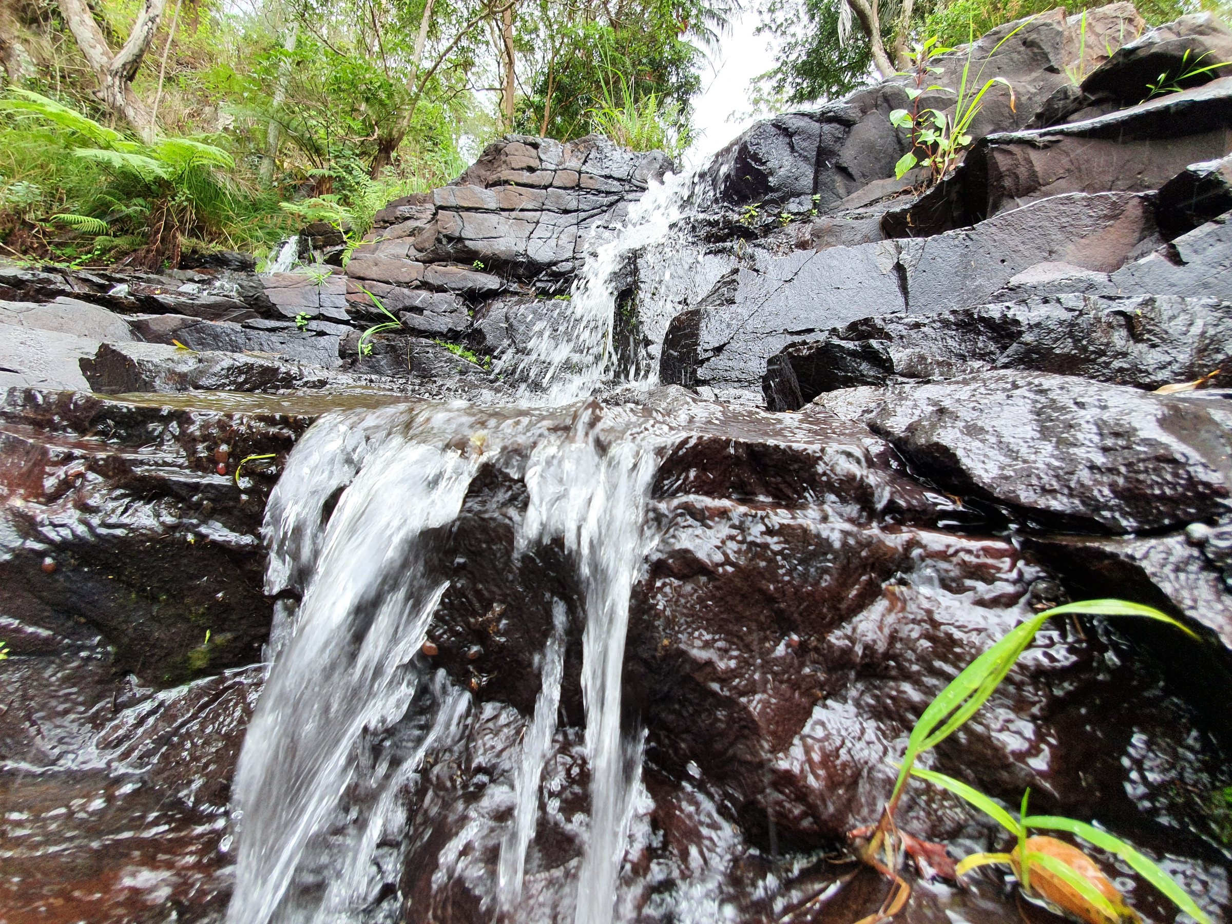
Sandy Creek Circuit is a 2.6 km rainforest walk in Tamborine National Park, starting at The Knoll picnic area on Tamborine Mountain. The track drops through palm groves and big trees to Sandy Creek, crosses a bridge at the top of Cameron Falls, and climbs back up, with a short side track to a lookout.
It takes about an hour, so it fits neatly into a day on the mountain. The picnic area at the start has toilets, barbecues and a shelter, which makes it an easy walk to wrap a picnic around.
What you will see on the Sandy Creek Circuit
The track leaves the car park and descends through transitional rainforest towards Sandy Creek. Along the way there are stands of piccabeen palms, tall trees rising above the canopy and, further down, a field of boulders. Large black skinks are often seen sunning themselves on the way down.
At the bottom the track follows the creek, then crosses a concrete bridge above Cameron Falls before turning back uphill to the car park. The creek section is rocky, so watch your footing.
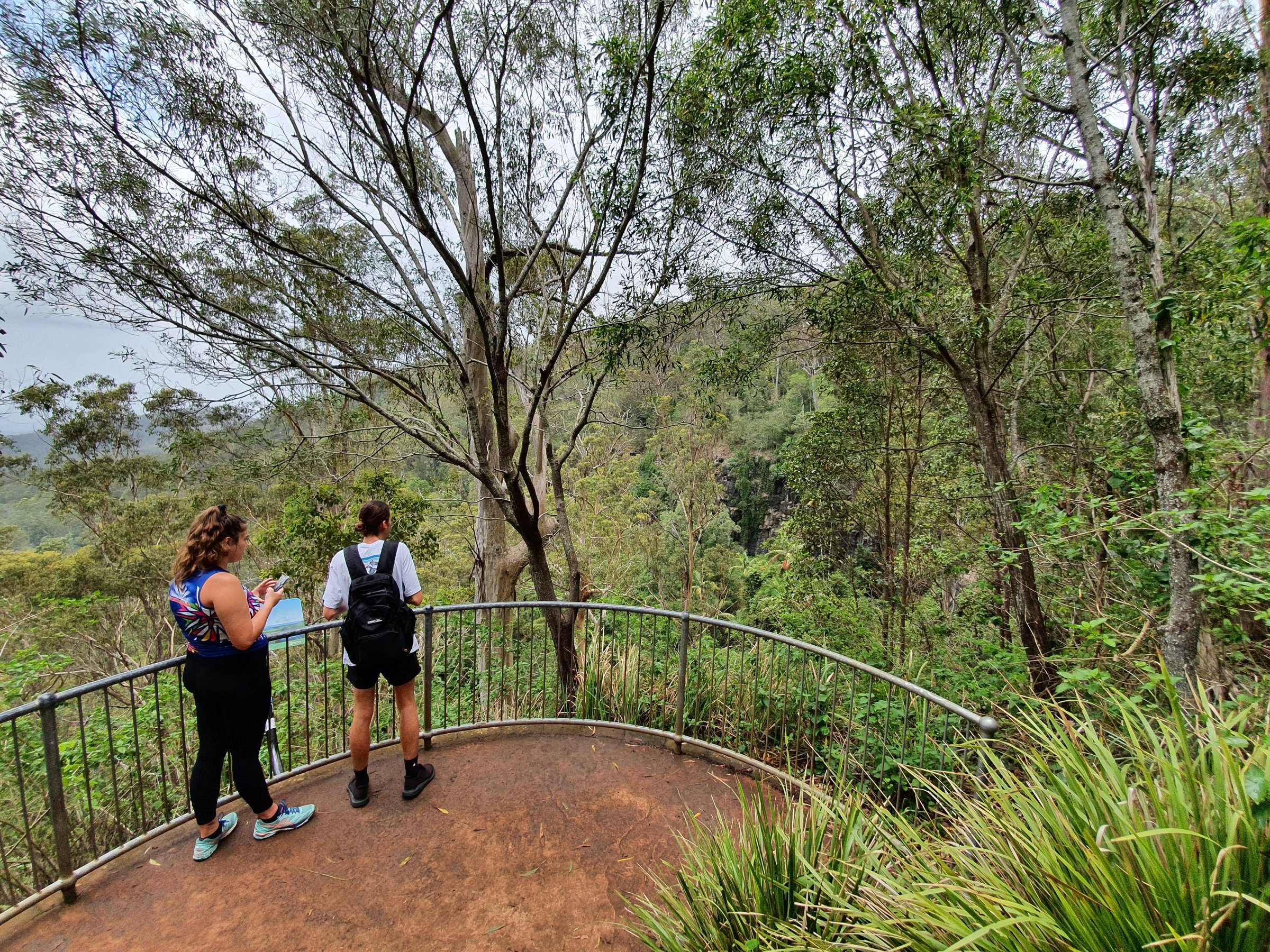
Cameron Falls lookout
Just past the bridge, a short side track of about 75 metres leads to the Cameron Falls lookout. From here you look back at the falls and out across the valley to Mount Flinders, with Brisbane in the distance on a clear day.
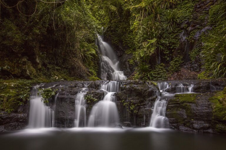
The falls are a modest cascade over dark rock rather than a big plunge, and they run best after rain. After a dry spell expect a trickle.
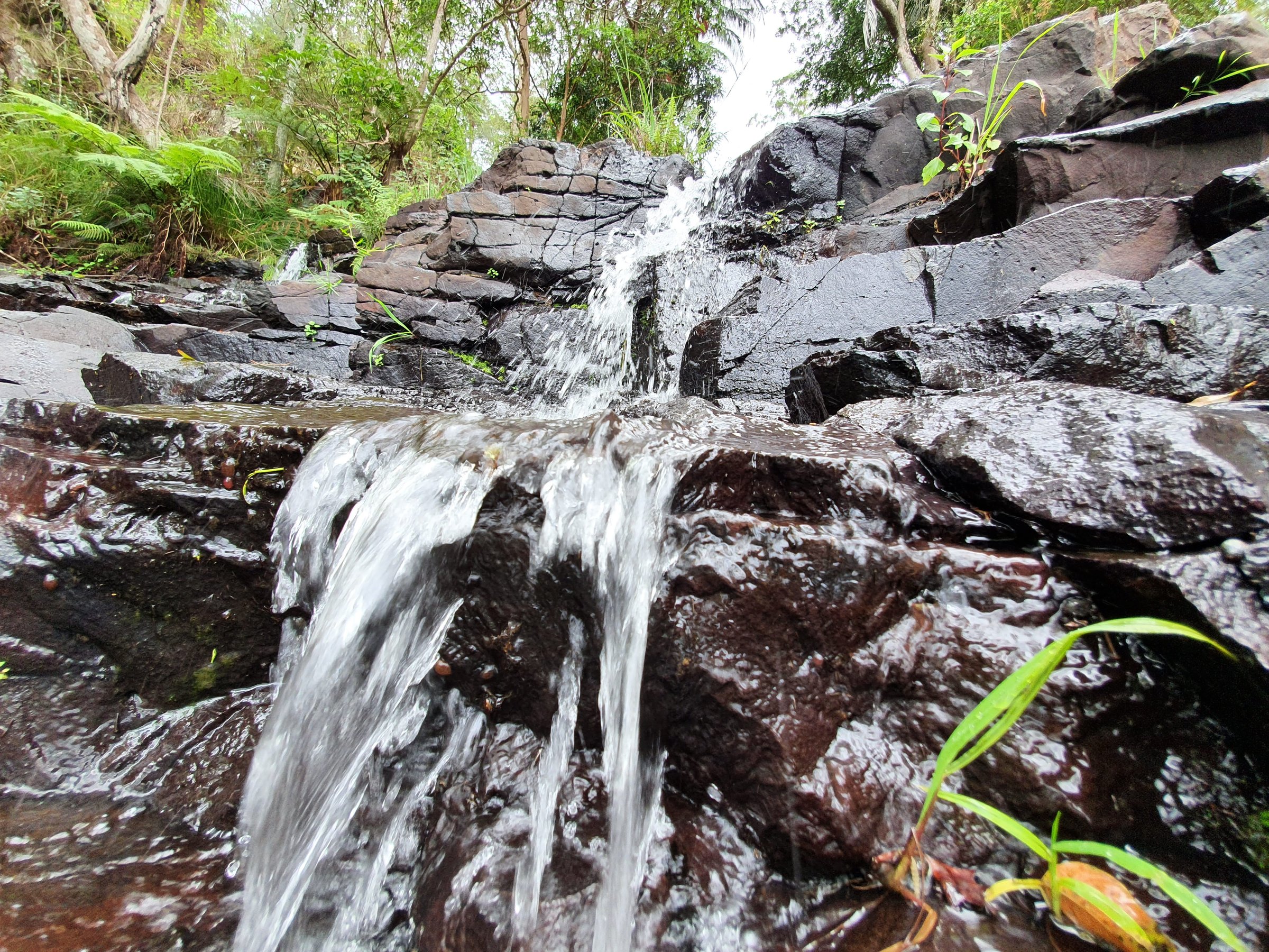
Views from The Knoll picnic area
You do not have to walk to get a view. From the northern edge of the picnic area you can see across the valley to Flinders Peak and Brisbane, and a short stroll leads to a lookout with a covered information board and a bench.
How hard is the Sandy Creek Circuit?
Escape to Tamborine Mountain describes it as an easy grade, but the track is rough dirt and the stairs add up: about 309 steps across the circuit and the lookout branch, in six flights. Tourism listings grade it 4 on the Australian walking track scale, so expect steps, uneven ground and a rocky stretch beside the creek. Water runoff channels cross the track diagonally in places.
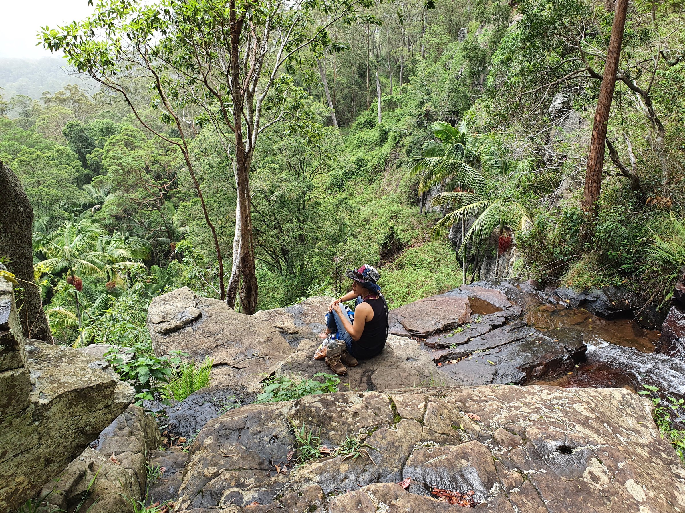
The track runs close to steep cliff edges in places. Stay on the marked track, stay behind the fences and keep children within reach.
Picnic area and facilities
- Public toilets
- Two push-button, gas-operated BBQs
- Five timber picnic tables
- A large weather shelter with seating for about 12 people
- 27 car spaces, including one disabled space (no bus parking)
Queensland Parks lists the toilets and picnic areas at The Knoll as wheelchair accessible with assistance. The walk itself has many steps.
Planning your visit
- How long: about 1 hour for the 2.6 km circuit; allow another hour if you picnic at the start.
- Best time: after rain if you want the falls flowing; clear days for the views to Mount Flinders and Brisbane.
- What to bring: shoes with ankle support and good grip, water, a hat and sunscreen, and lunch for the picnic area.
- Go with someone: it is a rocky track with steps and cliff edges, so walking with another person is safer.
- Dogs: not allowed. Domestic animals (except horses on designated forest trails) are not permitted in Tamborine National Park.
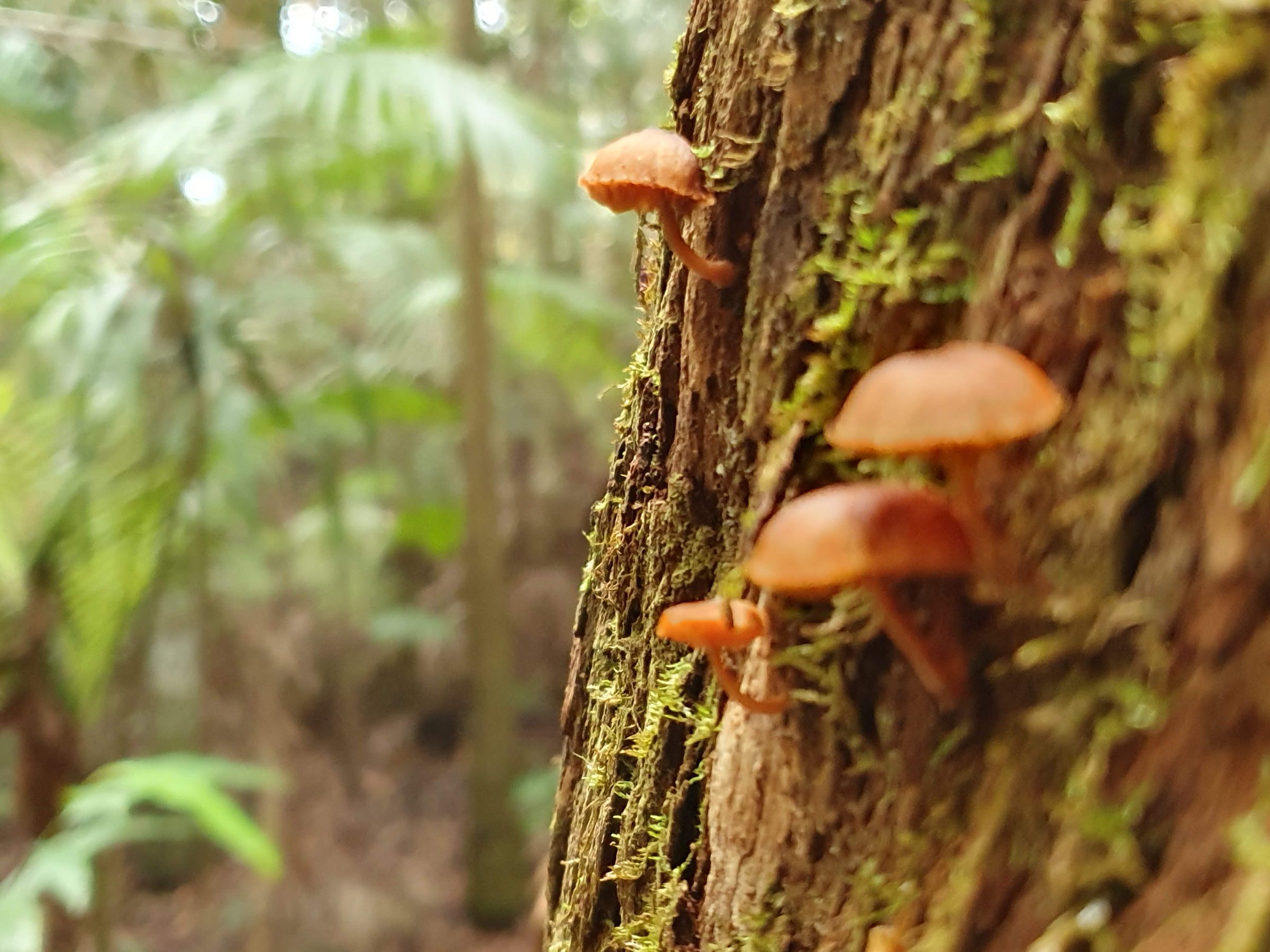
- Small things to spot: orange mushrooms on tree trunks, fallen and hollow trees, and lizards sunning on the track.
Getting there and parking
The Knoll section is in North Tamborine, at 48/50 Knoll Road. From Western Road turn into Main Street, continue past the shops and houses where it becomes Knoll Road, and keep left at the fork. Part of the road is a narrow single lane between trees, so give way carefully.
From the Brisbane CBD it is about 67 km, around 80 minutes by car. The car park has 27 spaces and no bus parking, so it can fill on busy weekends. Plan a public transport trip with the Translink Journey Planner or call 13 12 30.
The official walk details are on the Queensland Parks Tamborine National Park page. Details can change, so check it for closures and track conditions before you go.
Nearby
- Tamborine Mountain Rainforest Skywalk – a raised walkway through the canopy, a good second stop on the mountain.
- Natural Bridge, Springbrook – another rainforest walk with a waterfall and cave, in the Gold Coast hinterland.
- Essential Tips for Hiking Trails in South East Queensland – what to carry before any bush walk.
- Cedar Creek Falls – A waterfall and rock pools in Tamborine National Park, about 65 minutes by car from Brisbane, with a short lookout walk, picnic area and toilets.
Browse more nature walks and waterfalls.
Quick answers
How long is the Sandy Creek Circuit?
It is a 2.6 km circuit and takes about an hour.
Where do you park for Sandy Creek Circuit?
At The Knoll picnic area car park on Knoll Road, North Tamborine. It has 27 spaces and no bus parking.
Are there toilets and BBQs at the start?
Yes. The picnic area has public toilets, two gas BBQs, five picnic tables and a large weather shelter.
Can you take dogs on the Sandy Creek Circuit?
No. Domestic animals are not permitted in Tamborine National Park, except horses on designated forest trails.
Is the Sandy Creek Circuit suitable for prams?
No. There are about 309 stairs along the circuit.
Do you see Cameron Falls on the walk?
Yes. The track crosses a bridge above the falls, and a short side track leads to the Cameron Falls lookout.

0 Comments