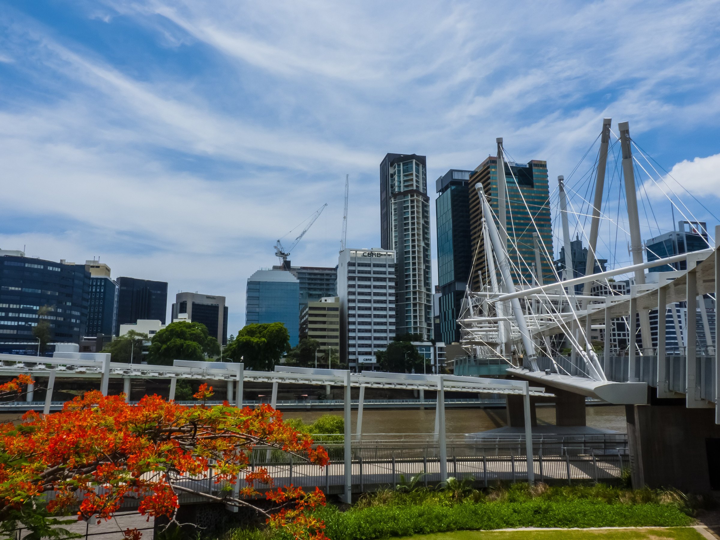
Kurilpa Bridge is a 470 metre pedestrian and cycle bridge across the Brisbane River, joining Kurilpa Point at South Brisbane to Tank Street in the city. It is a forest of white masts and criss-crossing cables, and it is the easiest way to walk between South Bank and the CBD.
Opened on 4 October 2009, it is built on tensegrity principles, which balance parts in tension and compression and are why it looks like a tangle of struts and wires. It won the transport category at the World Architecture Festival in 2011.
What to see on Kurilpa Bridge
The deck runs under a continuous all-weather canopy, with two large viewing and relaxation platforms and two rest areas along the way. Stop at a platform for the river and the city towers behind Tank Street.
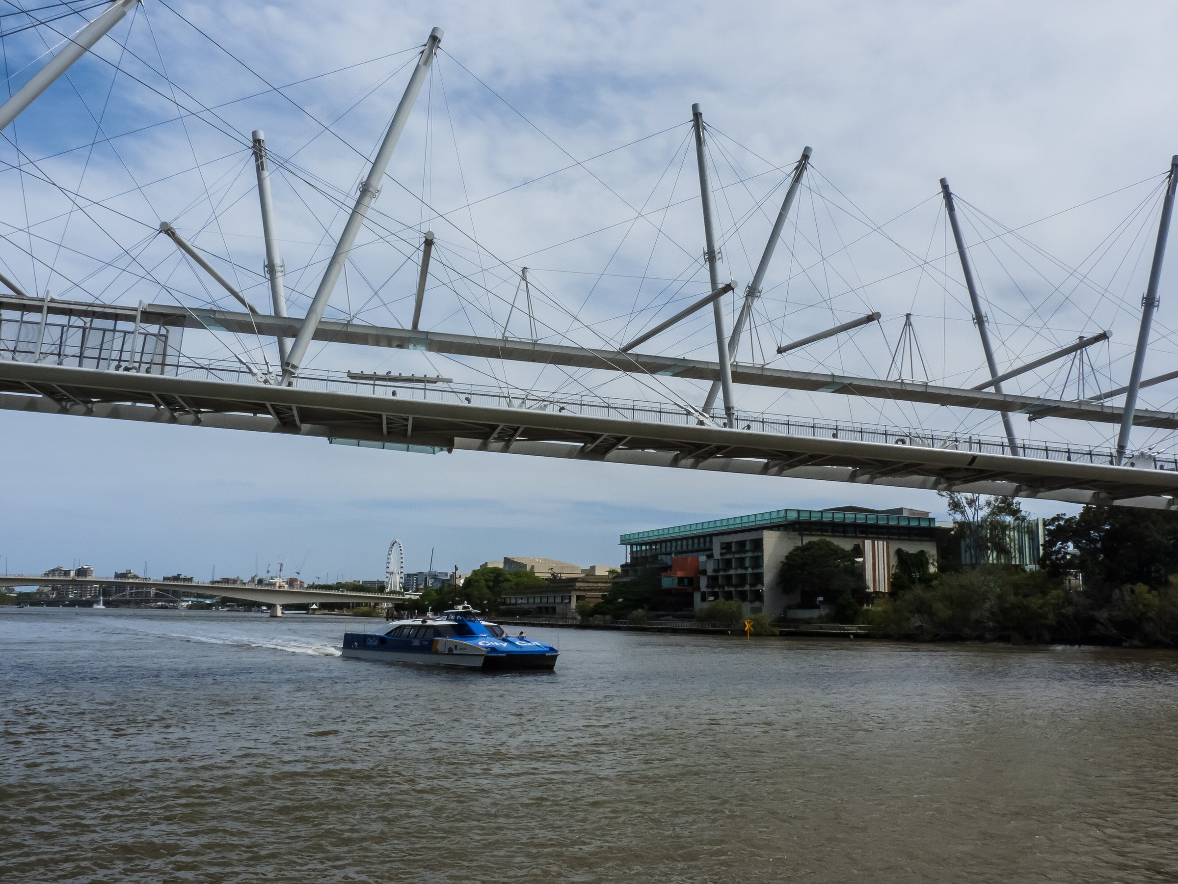
Look up as well as out. The cables and flying struts are designed to echo the ropes and spars of sailing boats, and the masts lean at different angles, so no two views of the bridge look quite the same.
The bridge at night
The bridge is best known for its LED light displays, which change colour and effect, and the lighting is mostly solar powered. After dark the masts and cables glow, which makes the walk across a good evening add-on to a meal or a show at South Bank.
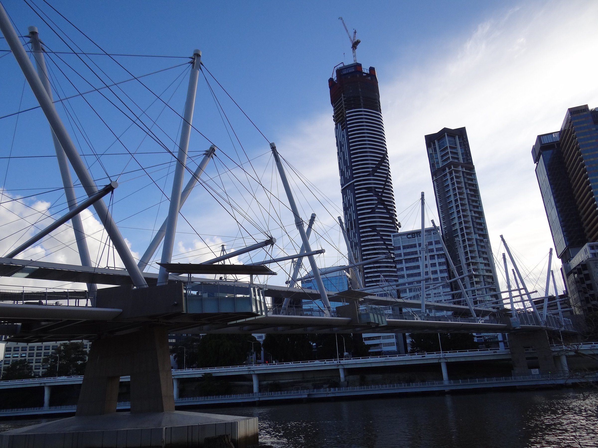
Where the name comes from
Kurilpa is an Aboriginal name for the South Brisbane and West End area, and it is said to mean “place for water rats”. The bridge was first called the Tank Street Bridge.
Walking and cycling across
The bridge is for people on foot and on bikes only, so there are no cars to dodge. It is a shared path, so ride slowly, call out before you pass, and give walkers room on the deck and at the platforms.
The bridge completes a walking and riding loop between the city and South Bank via the Goodwill Bridge. For a longer ride along the river, see the Bicentennial Bikeway guide.
How Kurilpa Bridge was built
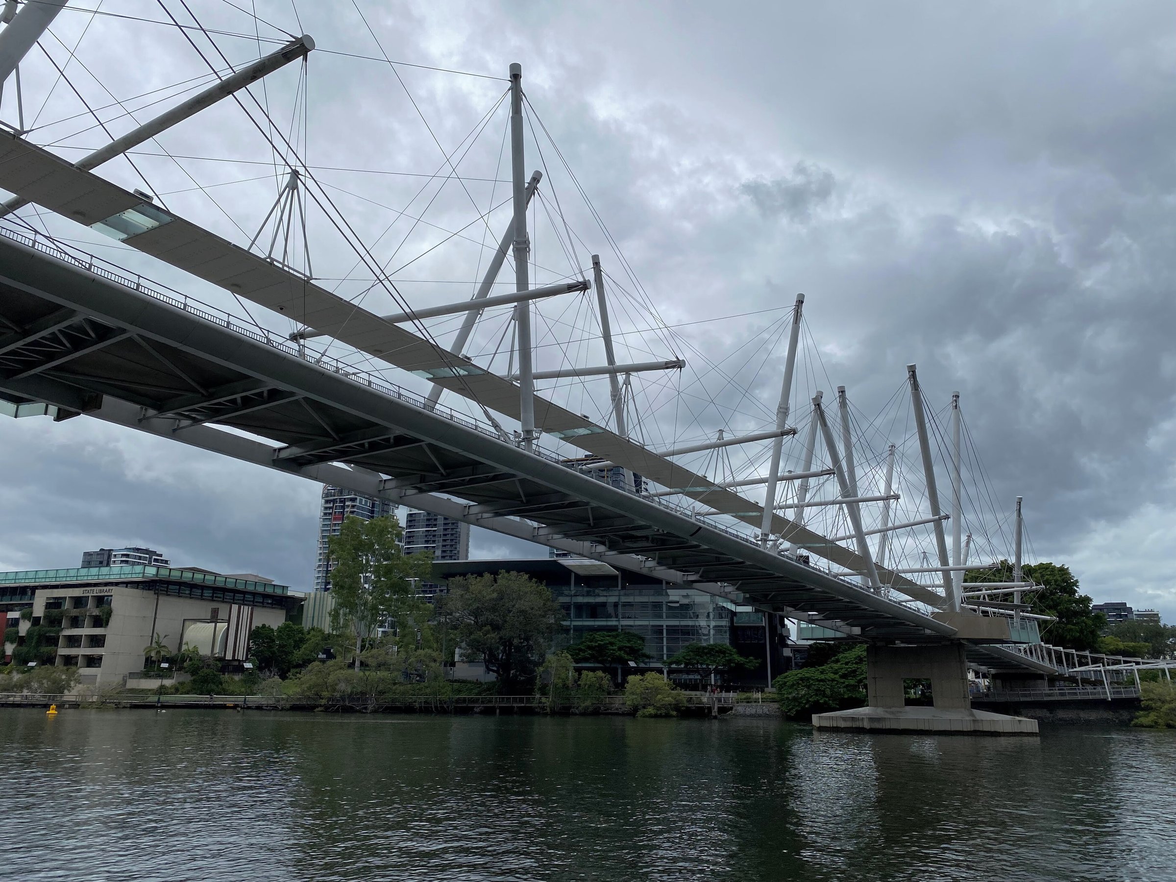
Cox Rayner Architects designed the bridge with Arup, and Baulderstone built it. The tensegrity structure keeps the masts and cables in balance, and the bridge is described as the world’s largest tensegrity pedestrian and cycle bridge. It is 470 metres long and 6.5 metres wide, and it cost $63.3 million to build.
A loop between the city and South Bank
The bridge completes a pedestrian and cycle loop between the city and South Bank via the Goodwill Bridge. Cross Kurilpa Bridge, wander through South Bank, then come back to the city over the Goodwill Bridge.
Make it part of a South Bank day
The south end links the Brisbane CBD with the cultural precinct, home to the Gallery of Modern Art. From there it is a short walk to the lawns and pools of South Bank. Check Translink for the bus, train and ferry times on the day.
Planning your visit
- Cost: there is no charge to cross.
- Best time: after dark if you want the lights, or in daylight for the views of the river and the city towers.
- Weather: the canopy runs the full length of the bridge, so it works as an all-weather walk.
- Who it is for: people on foot and on bikes only, with no cars on the deck.
- Photos: the platforms are the best places to stop, so step aside and keep the path clear for riders.
Getting to Kurilpa Bridge
The city end is at Tank Street in the CBD. The South Bank end meets Kurilpa Point and the Queensland Cultural Centre precinct, next to the Gallery of Modern Art and Queensland Museum Kurilpa.
There is no parking on the bridge, because it is a foot and bike crossing. Public transport is the easiest way in, so plan your trip on Translink, or park in the city or at South Bank and walk.
Nearby
- South Bank Parklands – lawns, gardens, playgrounds and the riverside walk right at the south end.
- Streets Beach – the free swimming lagoon, a short walk along the river.
- Kangaroo Point Bridge – another walk and ride crossing, downriver.
- Story Bridge – the city’s best-known bridge, for a longer river walk.
- More landmarks are listed under History and landmarks, and more day outs in Brisbane.
You might also like
- Treasury Building (Brisbane City)
- Spring Hill (Brisbane)
- Neville Bonner Bridge (South Brisbane)
Quick answers
How long is Kurilpa Bridge?
The bridge is 470 metres long and 6.5 metres wide. It crosses the Brisbane River between Kurilpa Point and Tank Street.
Can you cycle across Kurilpa Bridge?
Yes. It is a pedestrian and cycle bridge, so ride slowly and give walkers room.
Does Kurilpa Bridge light up at night?
Yes. It is known for its LED light displays, which change colour and effect, and the lighting is mostly solar powered.
What does Kurilpa mean?
Kurilpa is an Aboriginal name for the South Brisbane and West End area and is said to mean “place for water rats”.
Can you drive over Kurilpa Bridge?
No. It is only for people on foot and on bikes.


0 Comments