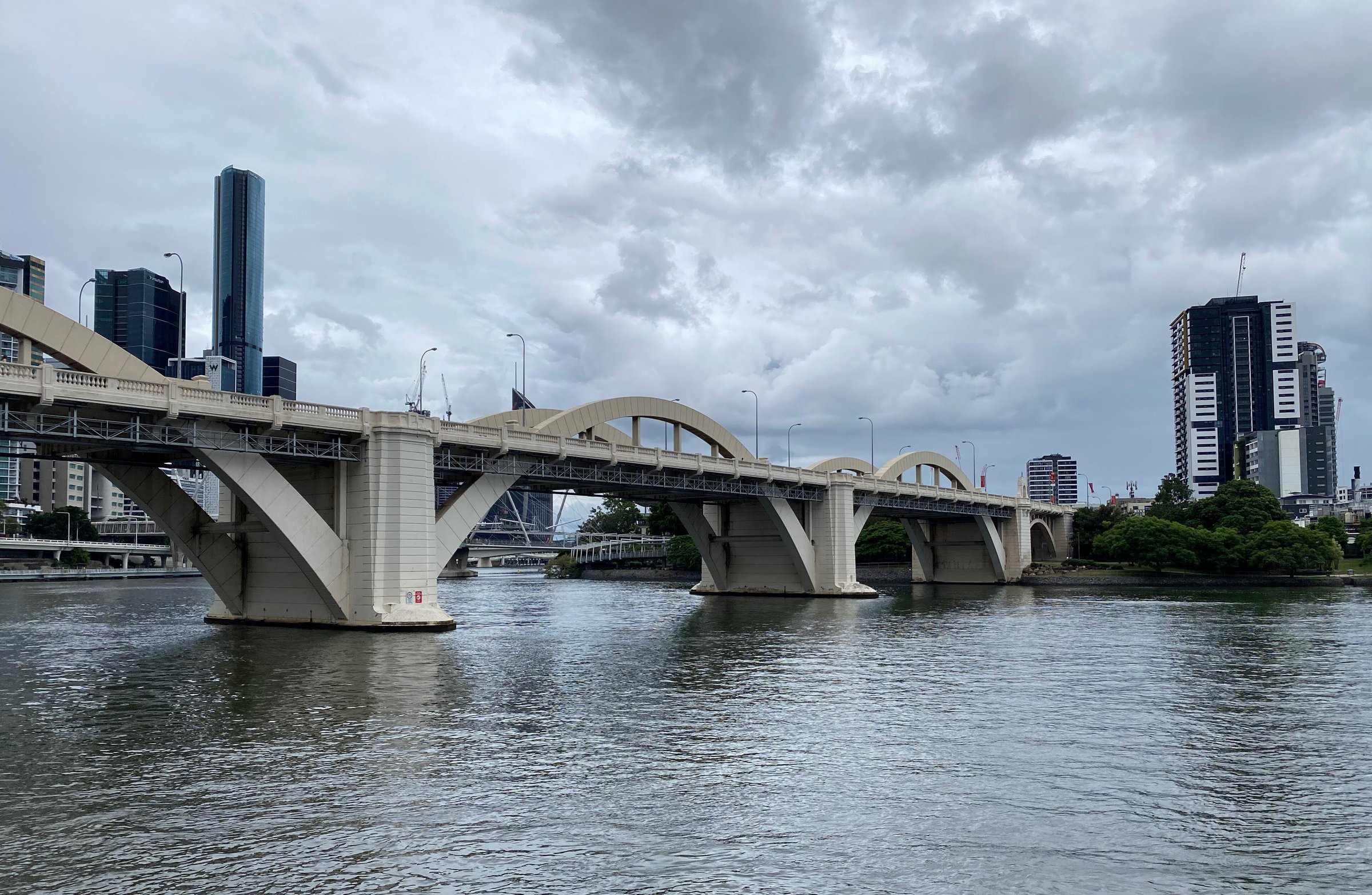
The William Jolly Bridge is a heritage-listed arch bridge that carries Grey Street in South Brisbane across the Brisbane River to North Quay, on the edge of the city centre. You can walk it for free, and the footpaths give you river, skyline and Kurilpa views that you do not get from a car.
It opened on 30 March 1932 and is still one of the most recognisable bridges in Brisbane. Here is what to look for, how long a crossing takes and how to fit it into a walk along the river.
William Jolly Bridge history
Construction started in August 1928 and finished in March 1932. The main spans are 72.5 metres each, which was big engineering for a Brisbane river crossing of the time. It was designed by the Brisbane engineer Harding Frew and built by MR Hornibrook, and the State Library of Queensland credits it with helping the merger of 25 local government areas into one Greater Brisbane succeed.
It opened as the Grey Street Bridge, after the street it carries. On 5 July 1955 it was renamed for William Jolly, the first Mayor of Greater Brisbane. Many locals still say Grey Street Bridge.
The Governor, Sir John Goodwin, performed the opening on 30 March 1932. The bridge was added to the Queensland Heritage Register on 6 August 1996.
The State Library of Queensland describes the bridge as an art work in its own right, with images projected onto its lines when Brisbane celebrates.
What to look for when you walk across
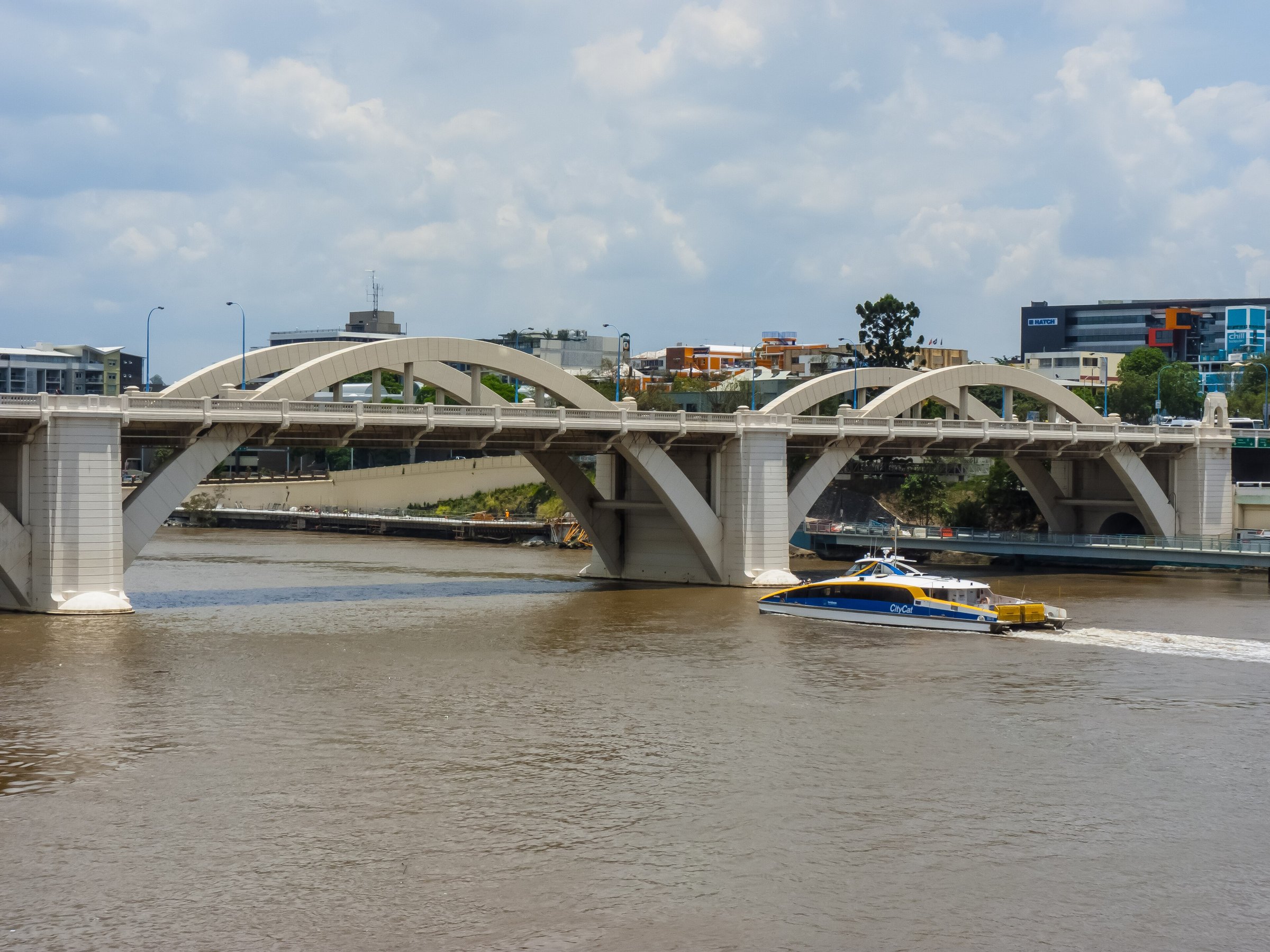
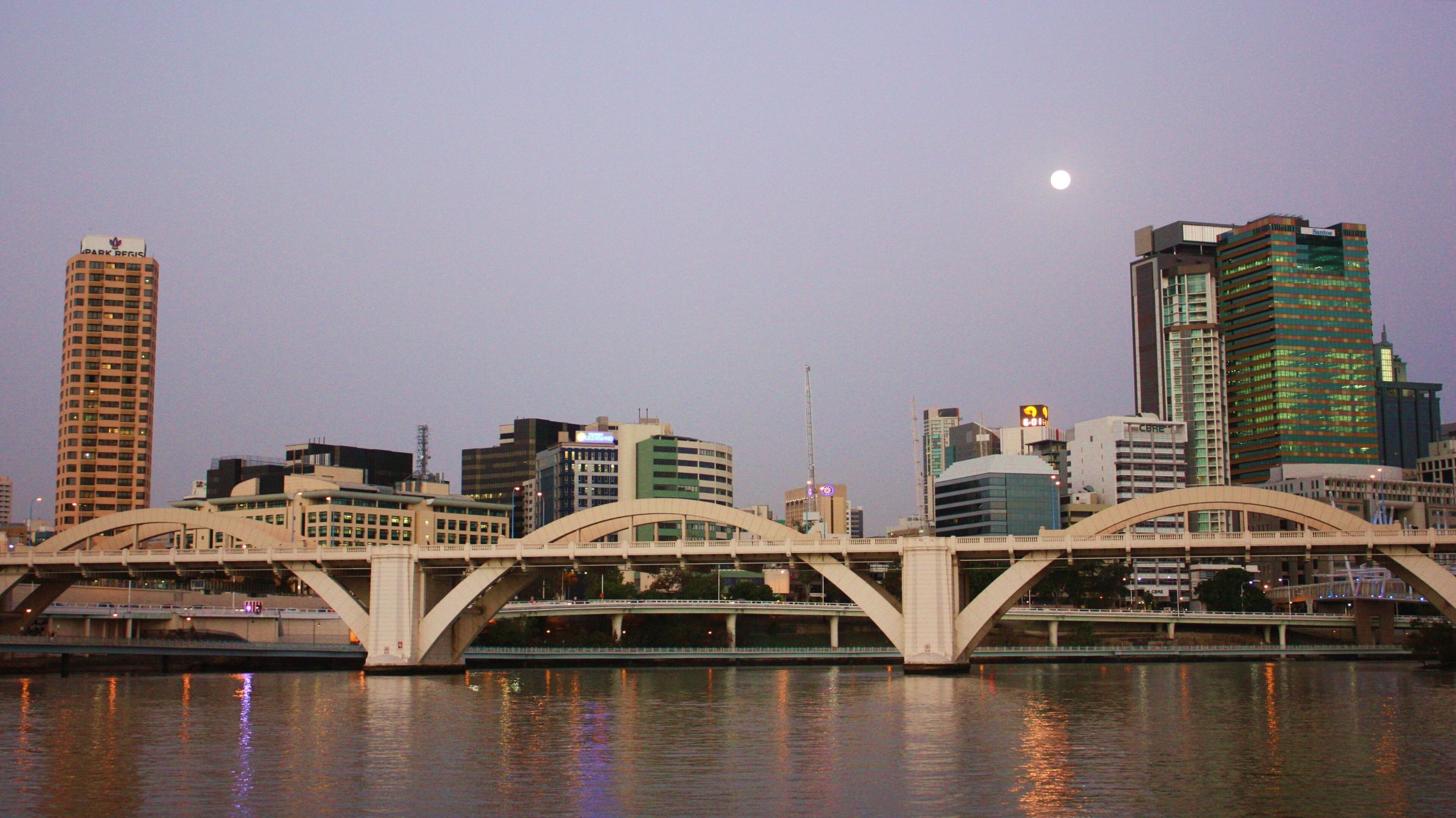
The bridge is nearly 500 metres long, with three big arched spans that rise up through the deck. It is concrete-encased steel, built in the Art Deco style.
There is a footpath on each side of the road, so you can cross one way and come back the other, which gives you both sets of views. Look at the balustrade pillars as you go: they carry a moulded image designed by 17-year-old Karma Eklund, whose father managed the company that cast the balustrades at its West End factory.
A plaque at the North Quay side marks the opening. It shows the Brisbane City Council coat of arms used until 1946 and records the work of the supervising engineer, Harding Frew, and the builders.
Walking the river around the bridge
The bridge is a good link in a longer river walk. Brisbane’s Bicentennial Bikeway, a 4.8 km off-road path with separate bike and pedestrian lanes, runs along the river from Toowong to the CBD, where it connects to paths to South Bank, Kangaroo Point and New Farm.
On the South Brisbane side you are close to South Bank Parklands and Streets Beach, and the State Library of Queensland is on the same side of the river. The West End Markets are a short trip away on Saturdays.
From the city side you can reach City Botanic Gardens and the Wheel of Brisbane by following the river. For more bridges, try the Kangaroo Point Bridge and the Story Bridge.
Seeing the bridge from the water
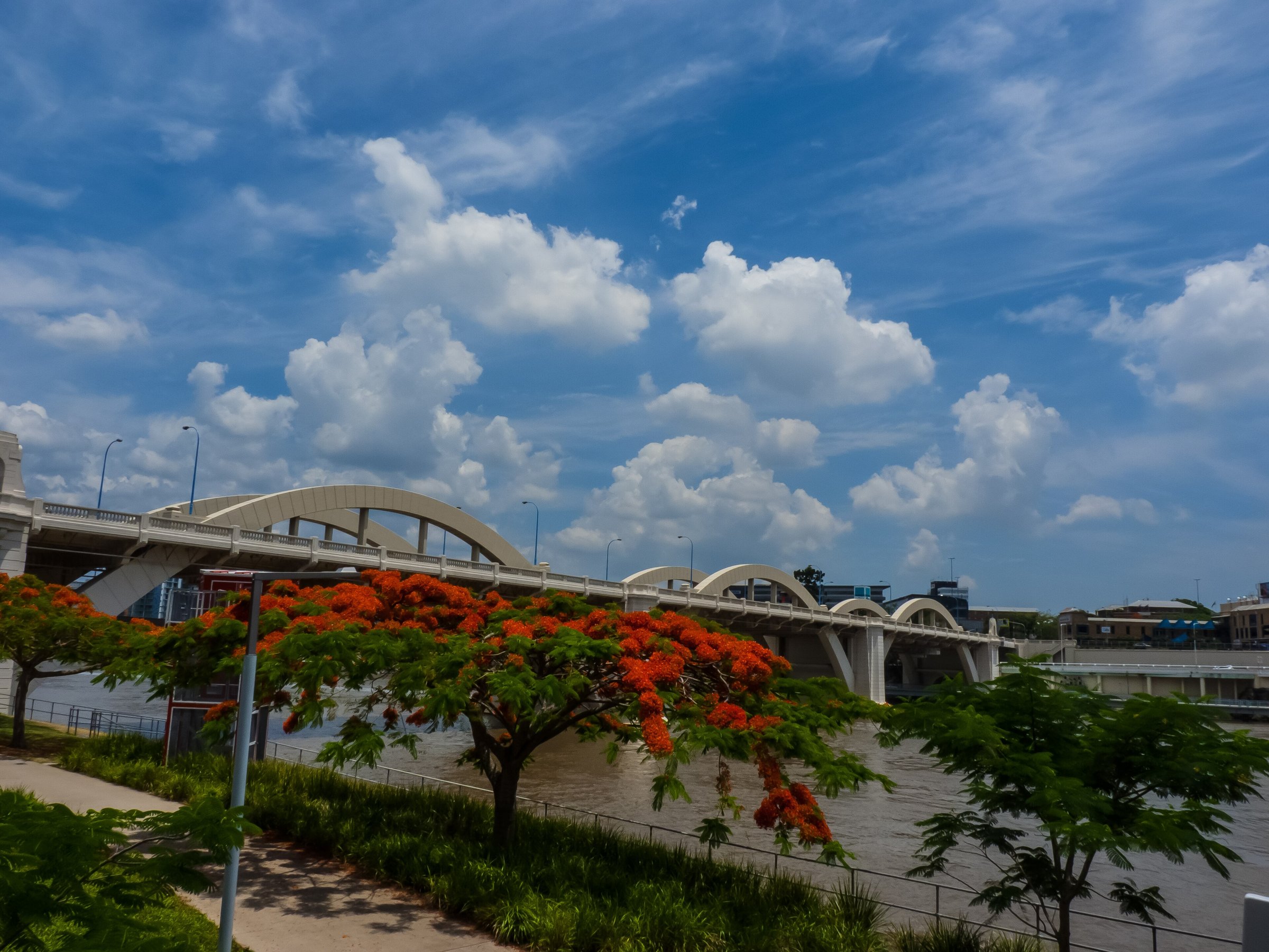
You can see the arches from a different angle on the river. The photo above shows a CityCat ferry passing beneath the spans, and the riverbank path on the South Brisbane side gives a side-on view of the whole structure, with flowering trees along the path in season.
Planning your visit
- How long: A crossing takes a few minutes; allow 30 to 60 minutes if you combine it with a stroll along the river on both sides.
- Best time: Early morning or late afternoon, when the light is soft on the arches and the river.
- Cost: Free.
- What to bring: A hat, water and sunscreen.
- Traffic: It is a busy road bridge with two motor lanes in each direction, so keep children close on the footpath.
Getting to the William Jolly Bridge
The bridge is about 3 km from Brisbane CBD by road, about 10 minutes by car, but it is a road bridge for crossing rather than a place to park, so the best way is on foot, by bike or by public transport. Plan your trip with the Translink Journey Planner or call 13 12 30.
For more on the bridge’s story, read the State Library of Queensland’s bridge history.
You might also like
- Point Danger (Coolangatta)
- Kenilworth (Sunshine Coast)
- The Big Pelican (Noosaville)
Quick answers
Can you walk across the William Jolly Bridge?
Yes. There is a footpath on each side of the bridge, and it is free.
Why is it also called the Grey Street Bridge?
It opened in 1932 as the Grey Street Bridge and was renamed on 5 July 1955 after William Jolly, the first Mayor of Greater Brisbane.
How long is the William Jolly Bridge?
It is about 500 metres long, with three large arched spans.
When did the William Jolly Bridge open?
On 30 March 1932.
Is the William Jolly Bridge heritage listed?
Yes, it has been on the Queensland Heritage Register since 6 August 1996.



0 Comments