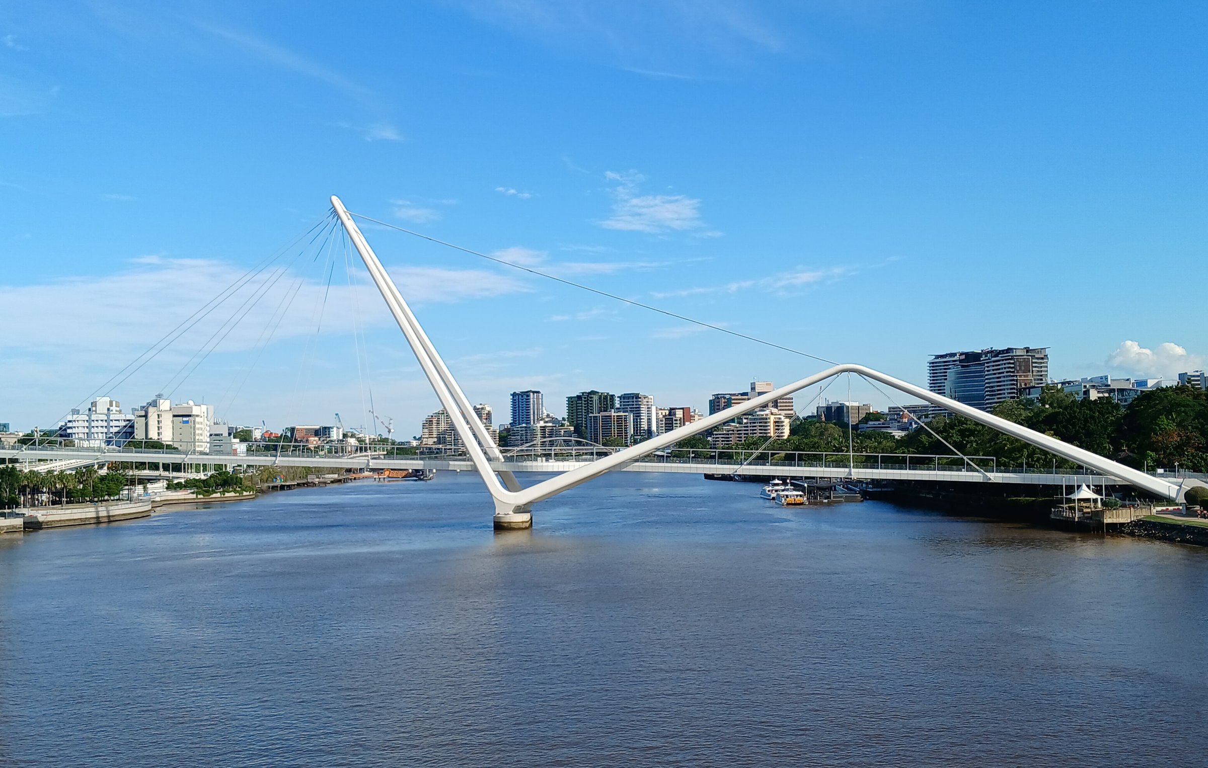
Neville Bonner Bridge is a pedestrian bridge more than 320 metres long that crosses the Brisbane River between Queen’s Wharf in the CBD and the cultural forecourt at South Bank. The tall white mast and cables make it one of the easiest bridges in Brisbane to spot.
The bridge opened to the public on 29 August 2024 and is named after Neville Bonner, Australia’s first Indigenous parliamentarian. Walk it for the river views, the Brisbane skyline behind you and as a link between a CBD day out and a South Bank one.
What the Neville Bonner Bridge looks like
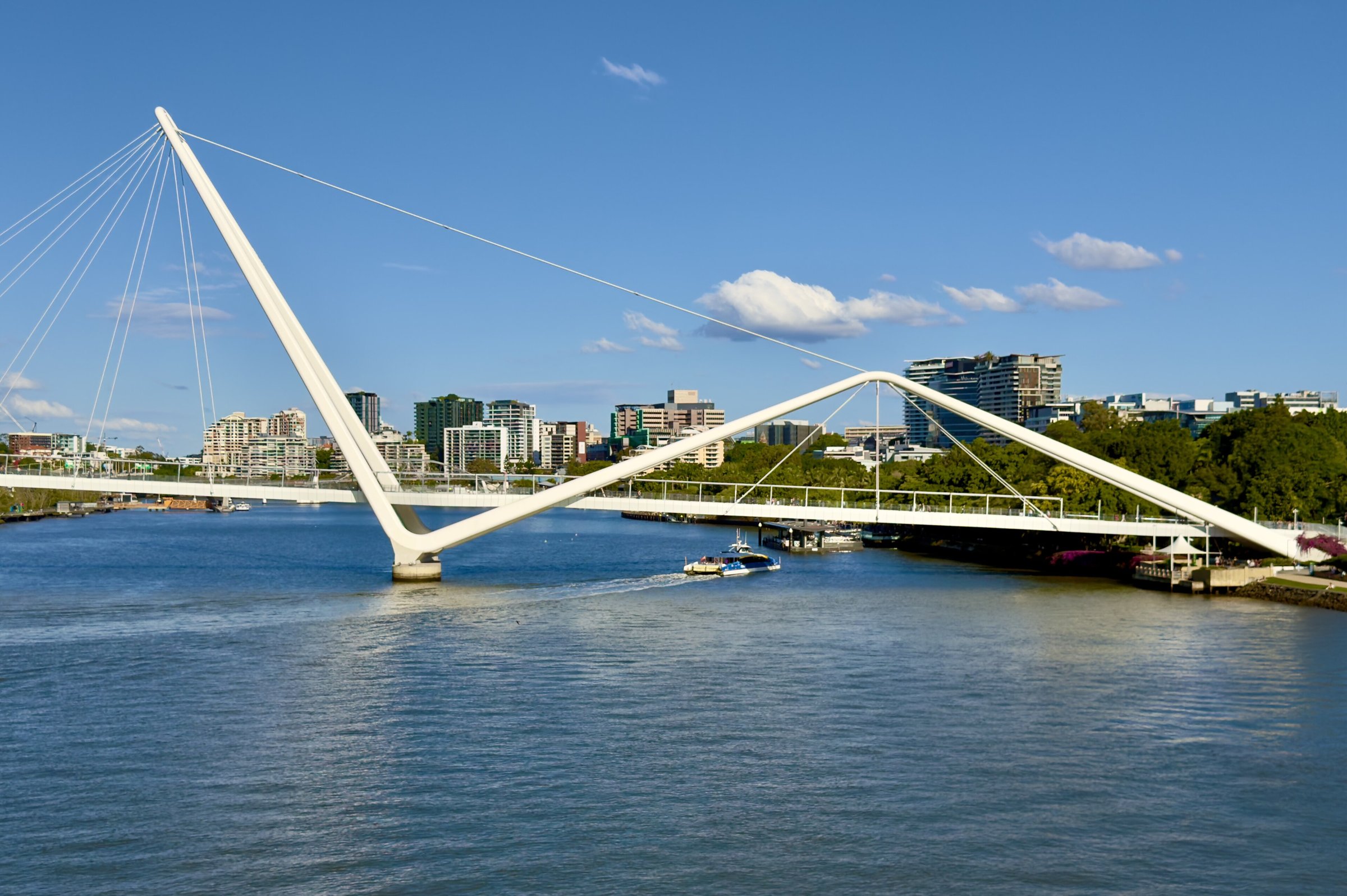
The bridge is a classic arch and cable-stayed design by the architects Grimshaw. The mast stands 77 metres above sea level, and the deck runs for over 320 metres, passing over the Brisbane River and also over the Riverside Expressway on the city side (a 45 metre span).
It was built with more than 1,000 tonnes of structural steel from South East Queensland fabricators, and the builder was Fitzgerald Constructions.
Why walk the Neville Bonner Bridge?
It is a quick, free way to cross the river with the skyline and the water around you, and it saves doubling back to another bridge. The deck is over the Brisbane River for most of its length, so you get open views up and down the river that you cannot get from the shops and streets on either side.
It also works as the middle of a longer walk: along the river on Mangrove Walk, over the bridge, then through the South Bank cultural forecourt and on to the parklands.
Who was Neville Bonner?
The bridge honours Neville Bonner AO, Australia’s first Indigenous parliamentarian. At the northern end there is an 80 kg cast bronze bust of him, designed by the late John Elliott, and the bridge carries several commemorative plaques you can stop and read on the way across.
Walking from Queen’s Wharf to South Bank
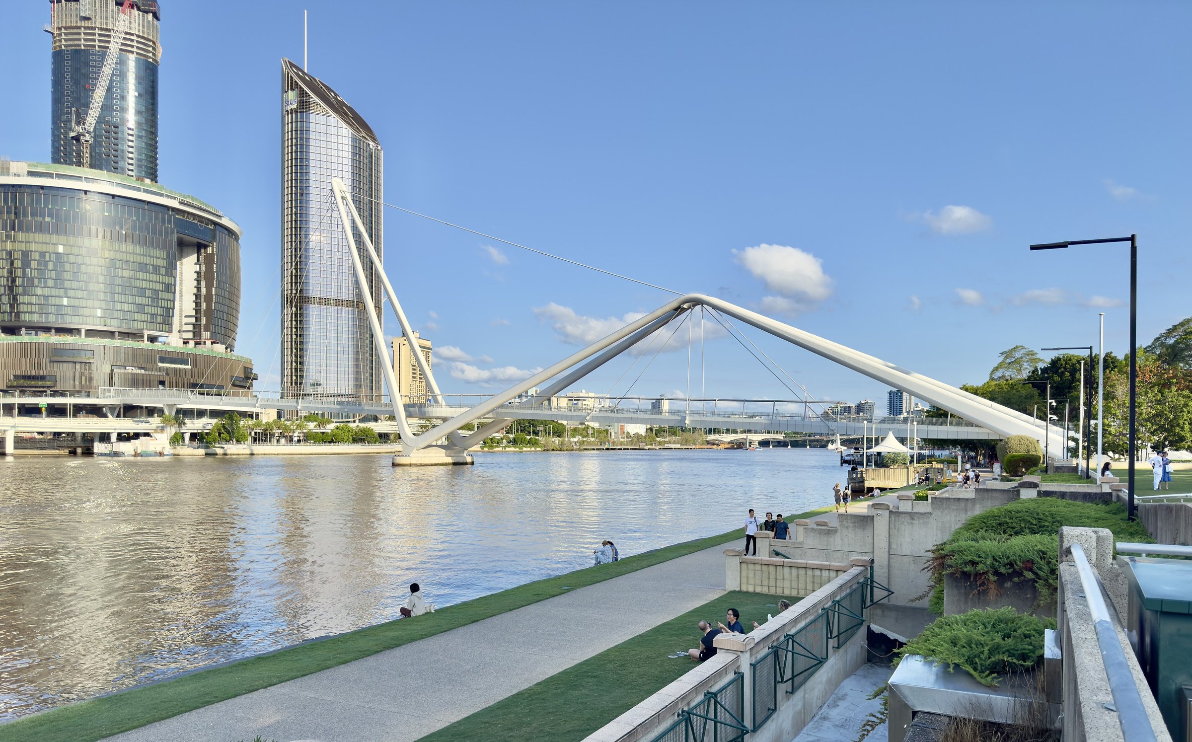
On the CBD side the bridge gives through access to William Street and George Street. On the other side it lands at the South Bank cultural forecourt, so you step off the bridge at the front door of the museum, library and gallery precinct.
That makes it a handy loop. Start in the city, cross the bridge, and spend the day at South Bank with one of the free places nearby:
- Queensland Museum Kurilpa – free general entry, dinosaurs and a science centre for school-age kids.
- State Library of Queensland – exhibitions, a kids’ space and a quiet place to sit.
- South Bank Parklands – playgrounds, BBQs and gardens along the river.
- Streets Beach – the lagoon for a swim on a hot day.
What to do on the Queen’s Wharf side
Queen’s Wharf Brisbane is a dining and entertainment precinct, with restaurants and bars including Aloria, Azteca, Babblers and Black Hide Steak and Seafood by Gambaro. The precinct also has Mangrove Walk, a 450 metre pedestrian boardwalk along the river that links the Goodwill Bridge to the precinct, with lookouts, shaded seating nooks and an Indigenous message trail designed with the Turrbal and Jagera communities.
Nearby in the CBD there are also the weekday Brisbane City Markets, the shopping of Queen Street Mall and the heritage Old Government House and Brisbane City Botanic Gardens.
Planning your visit
- How long: a few minutes to cross, 20 to 30 minutes if you stop for photos and the bust and plaques.
- Cost: free.
- Best time: early morning or late afternoon for softer light on the river and the skyline.
- What to bring: a hat, sunscreen and water in summer; the bridge is out over the open river.
- Crowds: up to 10,000 crossings a day were expected, so weekends and event days can be busy.
Getting there and parking
The bridge is for walking, and Queen’s Wharf is well served by public transport. Brisbane Central and South Brisbane stations are a short walk away, several bus stops are close by (including the free city loop) and the North Quay ferry terminal is a short walk too. Plan a trip with the Translink Journey Planner or call 13 12 30.
By car, the bridge is about 10 minutes from the Brisbane CBD (about 4 km by road, without traffic), but there is no car park at the bridge. Queen’s Wharf Brisbane lists Car Parks A, B and C on its getting here page, and the CBD and South Bank have other paid car parks. Details of the bridge are on the Queen’s Wharf Brisbane bridge page. Details can change, so check before you go.
Nearby
- Kangaroo Point Bridge – another pedestrian river crossing, with a lift and dining.
- Story Bridge – the city’s best-known bridge, with a walk across.
- Wheel of Brisbane – a ride beside the South Bank landing.
Browse more history and landmarks in Brisbane.
You might also like
- Treasury Building (Brisbane City)
- William Jolly Bridge (South Brisbane)
- Brisbane Arcade (Brisbane City)
Quick answers
Where is the Neville Bonner Bridge?
It crosses the Brisbane River between the Queen’s Wharf precinct in the CBD and the cultural forecourt at South Bank.
How long is the Neville Bonner Bridge?
Over 320 metres. The mast is 77 metres above sea level.
Why is it called the Neville Bonner Bridge?
It is named after Neville Bonner AO, Australia’s first Indigenous parliamentarian. A bronze bust of him stands at the northern end.
Is it free to walk across?
Yes, it is a public pedestrian bridge with no entry fee.
Can I park at the bridge?
There is no car park at the bridge. Queen’s Wharf Brisbane lists three car parks (A, B and C), and the CBD and South Bank have others. Or arrive by train, bus or ferry and walk.



0 Comments