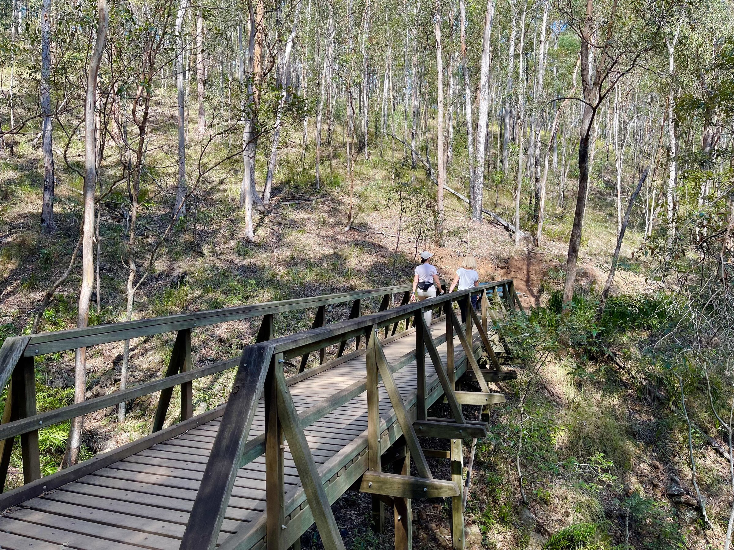
Mount Coot-tha Forest is the city’s largest natural area, more than 1,600 hectares of bushland with walking tracks, mountain bike trails, creeks, small waterfalls and nine picnic areas. It is about 15 minutes’ drive from the CBD, so it works as a quick bush walk before work or a full day in the forest.
The lookout and the Brisbane Botanic Gardens are on the same mountain, but most people who come for a proper walk start at one of the picnic areas along Sir Samuel Griffith Drive.
Walks in Mount Coot-tha Forest
There are more than 18.5 km of walking tracks in the forest, from short strolls to steeper climbs. Here are the best-known walks.
Ghost Hole Track
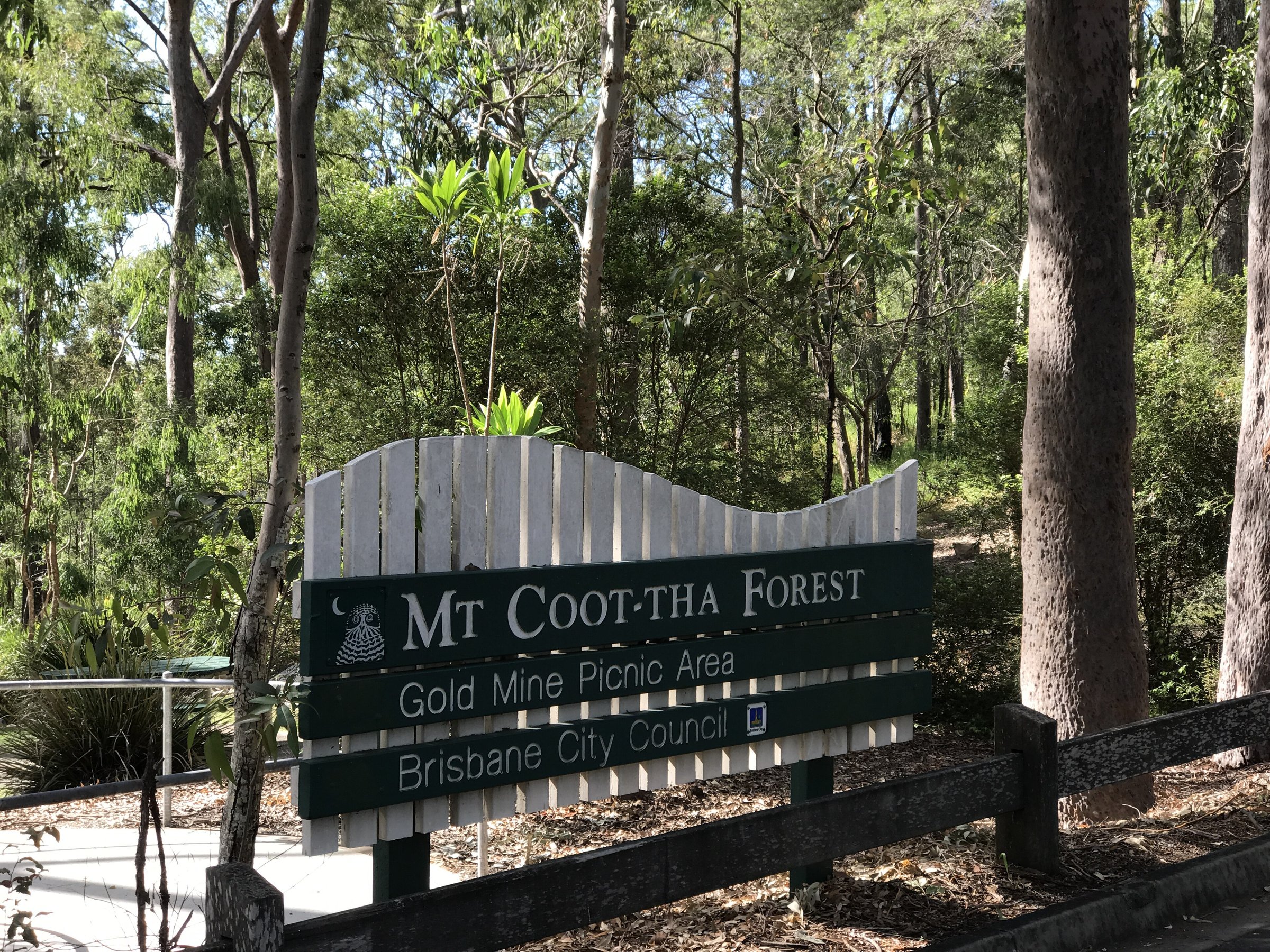
An easy 650 m walk of about 15 minutes from the Gold Mine Picnic Area, past traces of old gold mines.
Summit Track to the lookout
1.9 km, about 30 minutes each way, mostly paved with some stairs, from the J C Slaughter Falls Picnic Area up to Mt Coot-tha Lookout, where there is a cafe and the city view. See the guides to J C Slaughter Falls and the Mt Coot-tha Lookout.
Simpsons Falls Track and Eugenia Circuit
The Simpsons Falls Track is 650 m and about 40 minutes at a moderate fitness level, ending at a viewing deck by the falls. Wildflowers bloom along it in late winter and spring. The Eugenia Circuit is 2.8 km, about 1.5 hours, and links to other tracks.
Mahogany Trail and Discovery Trail
The Mahogany Trail is 2.6 km, about 1.25 to 1.5 hours, from J C Slaughter Falls, with city views. It is shared with bike riders and horses. It can be extended into a 4.5 km circuit with the Citriodora Trail and Summit Track. The 1.6 km Discovery Trail (about 30 minutes, moderate) links Simpson Falls and J C Slaughter Falls.
Honeyeater Track and Spotted Gum Trail
The Honeyeater Track is 2.1 km, about an hour, starting on Sir Samuel Griffith Drive near the lookout. The Spotted Gum Trail is 2.4 km and takes 1 to 1.5 hours with about 250 concrete steps; it starts at the gates of the Australian Plant Communities garden in the Brisbane Botanic Gardens Mt Coot-tha.
Mountain bike trails
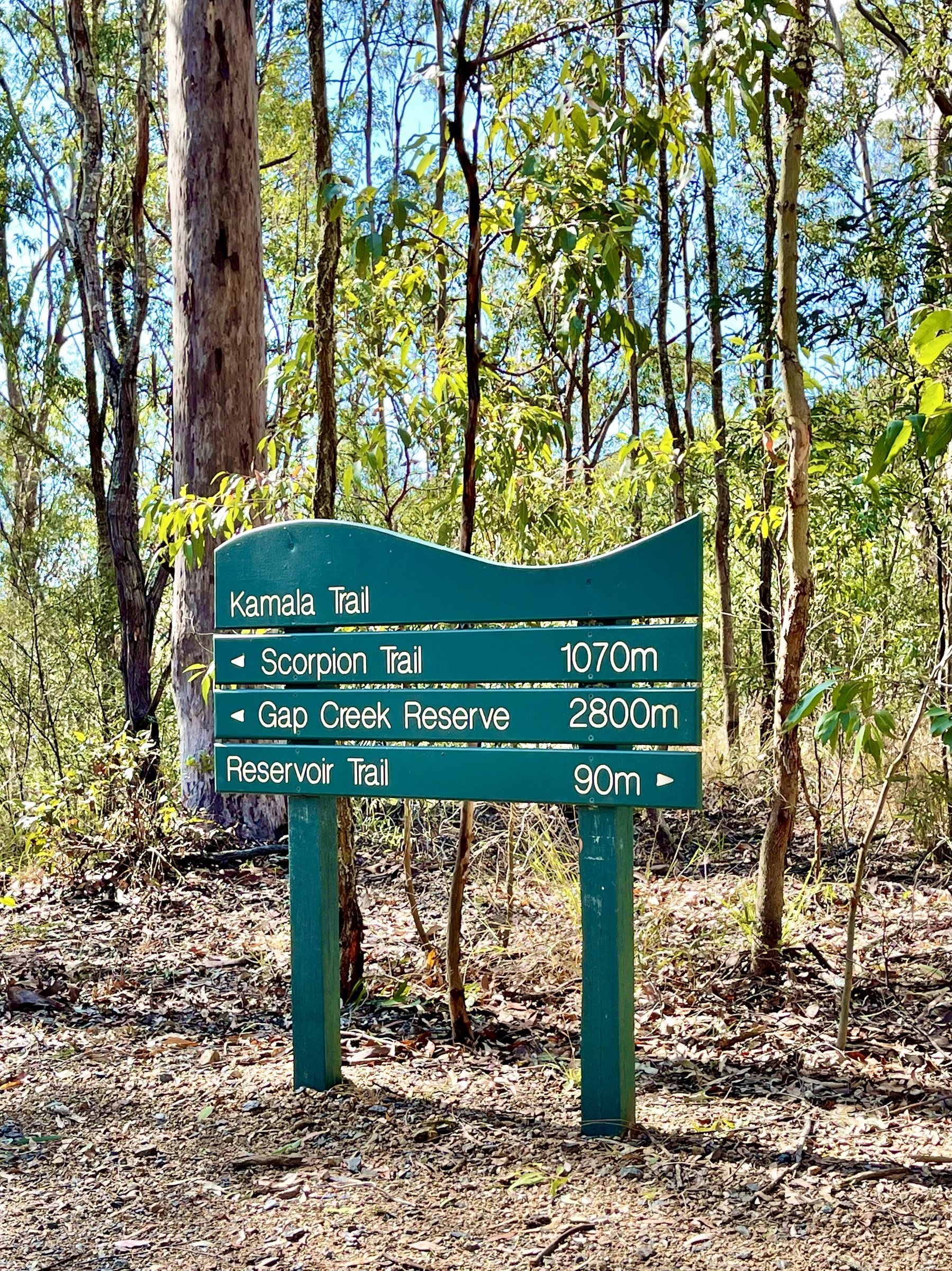
The mountain bike network is in the Gap Creek and Gold Creek reserves. The trails are:
- Rocket Frog Trail: 2.5 km, easy.
- Gillians Circuit: 2.3 km, more difficult, from the car park on Gap Creek Road.
- Whipbird Way: 1.5 km, more difficult.
- Pipeline Trail: 1 km, very difficult, one-way downhill, for experienced riders only.
The network closes during and immediately after wet weather. Horses are allowed only on the Mahogany Trail.
Picnic areas
There are nine picnic areas in the reserve. J C Slaughter Falls and Simpson Falls are open from 6 am to 7 pm daily, Grey Gum and Hoop Pine are locked each night, and the others are open 24 hours. Some picnic areas have tables, barbecues, accessible toilets, water taps and car parks, and not all spots are shaded. The Gold Mine Picnic Area is the start of the Ghost Hole Track.
Is Mount Coot-tha Forest dog friendly?
Yes, on a lead. Take your dog’s waste with you. Off-leash areas nearby are Merri Merri Park and Green Hill Reservoir Park.
Planning your visit
- How long: 30 minutes for the Ghost Hole Track, 1 to 2 hours for a falls circuit, a half day for the Summit Track plus lookout.
- Cost: free. Lookout parking is free.
- Best time: mornings and late afternoons are cooler; spring for the wildflowers.
- What to bring: water, a hat, sturdy shoes and a map downloaded to your phone, since some parts of the mountain have no mobile coverage.
- Closures: check signs on site. You can subscribe to track updates by emailing [email protected] with “subscribe” in the subject.
Getting there and parking
The forest is about 15 minutes by car from the Brisbane CBD. Enter from Sir Samuel Griffith Drive or, for the mountain bike trails, Gap Creek Road. Parking at the lookout is free, and some picnic areas have their own car parks.
By bus, Translink lists route 471 to the lookout, which does not run every day, so check the timetable. For other trips, use the Translink Journey Planner or call 13 12 30. The council’s track map is at the Mt Coot-tha Forest page. Details can change, so check before you go.
Nearby
- Mt Coot-tha Lookout – the city view at the top of the Summit Track.
- J C Slaughter Falls – a creekside picnic area and the start of the Summit Track.
- Brisbane Botanic Gardens Mt Coot-tha – gardens and the Japanese Garden at the base of the mountain.
- Sir Thomas Brisbane Planetarium – free to enter, with paid shows.
- Mount Gravatt Lookout – another Brisbane hilltop with city views.
- Hiking in South East Queensland – what to bring.
Browse more hiking trails.
You might also like
- Flinders Peak (Ipswich)
- Mount Tibrogargan (Glass House Mountains)
- Mount French (Scenic Rim)
Quick answers
How big is Mount Coot-tha Forest?
The reserve covers more than 1,600 hectares, with over 18.5 km of walking tracks.
Is it free?
Yes, entry is free, and so is parking at the lookout.
What is the best walk in Mount Coot-tha Forest?
The Summit Track (1.9 km, about 30 minutes each way) is the best known. For an easy short one, try the Ghost Hole Track (650 m, about 15 minutes).
Can you mountain bike at Mount Coot-tha?
Yes, on trails in the Gap Creek and Gold Creek reserves, from easy to very difficult. They close during and after wet weather.
Can I take my dog?
Yes, on a lead.



0 Comments