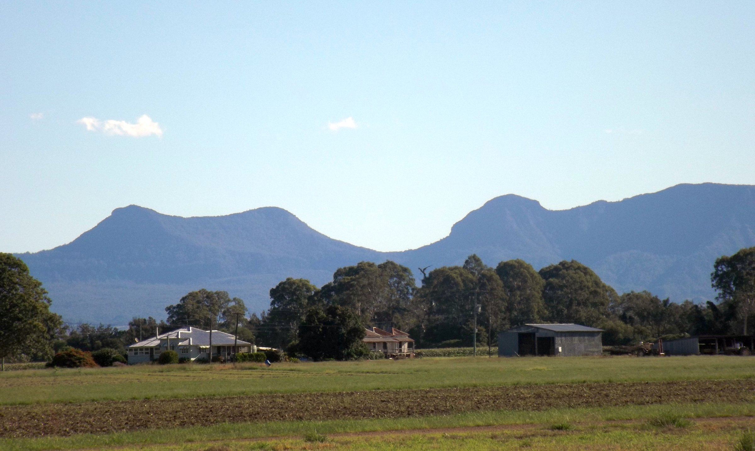
Cunninghams Gap is the pass where the Cunningham Highway crosses the Great Dividing Range, and it is also the main walking hub in Main Range National Park. The Crest car park and a picnic area beside the highway give you rainforest walks and a lookout over the Fassifern Valley, about 95 minutes by car from Brisbane.
This guide covers the Gap itself. For the whole park, including camping, Spicers Gap and Goomburra, see Main Range National Park.
Walks at Cunninghams Gap
Most tracks start from The Crest car park at the top of the pass, and the Box Forest track can also be started from the picnic area further along the highway. The tracks include the Rainforest circuit, Box Forest track, Palm Grove circuit, Mount Cordeaux, Bare Rock and Mount Mitchell.
Rainforest circuit and the Fassifern lookout
The easy one. The circuit is 1.6 km return from the eastern end of The Crest car park. It passes the Allan Cunningham monument and climbs a set of stairs at the first junction to the Fassifern lookout, which looks over the valley and Lake Moogerah. There are flora information signs along the way, and the stairs make it a bit more climbing than the name suggests.
Box Forest track
A rainforest walk of 5 km return between the top car park and the picnic area at the western end, rated easy and suitable for families. There are two creek crossings, and traffic noise from the highway carries along the track.
Mount Cordeaux and Bare Rock
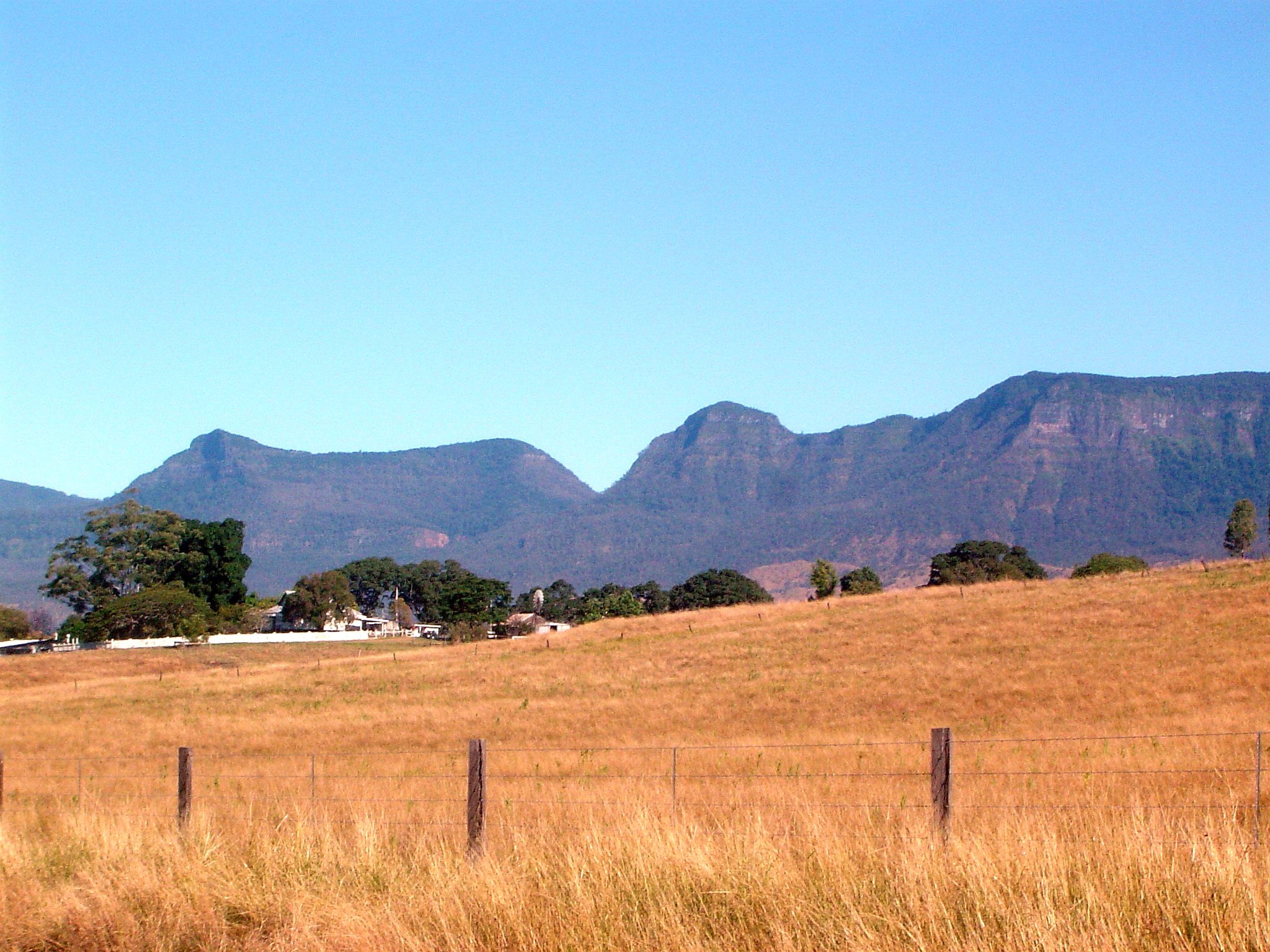
The serious walks. The Mount Cordeaux track is 6.8 km return and a Grade 4 climb, a zig-zag through rainforest to the exposed upper slopes, with a lookout and an unprotected rocky platform near the top. The views are over the Fassifern Valley.
The Bare Rock track continues from the Mount Cordeaux lookout and makes the whole walk about 12.4 km return, around 4.5 hours, also Grade 4. Morgans walk is a short extra side track from it.
The picnic area and the highway stop
The picnic area at the western end of the Box Forest track (West Gap Creek) is a grassy area off the highway with picnic tables, two of them covered, and toilets at the top end. No barbecue is listed. Parking is mostly at the bottom end, and the road between the two parking areas is one-way, so if the lower car park is full you have to head back to the highway and re-enter. It is free to use.
The Fassifern lookout looks out towards Lake Moogerah, so the lake makes an easy pair for the same day: see Lake Moogerah.
A short history of the Gap
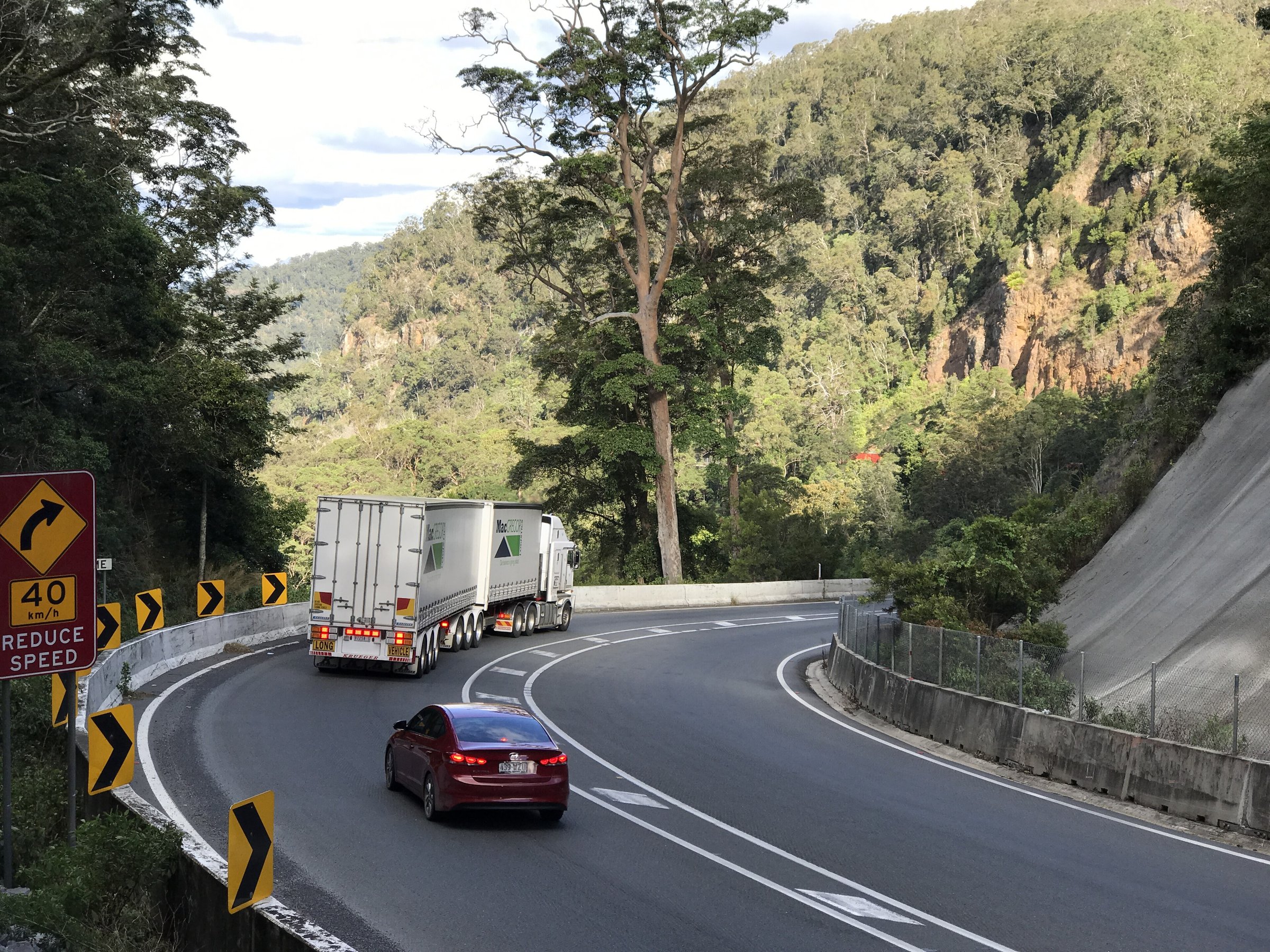
Allan Cunningham explored the Darling Downs in 1827 and came back in 1828 to find a way through the range, which is how the gap got its name. The Yuggera people have their own story of how it formed. A road over the gap was officially opened on 11 June 1927, but it was reported closed again within a month. The sealed road opened in November 1949. The highway today is steep, with an eight-degree grade on the descent.
Planning your visit
- How long: the Rainforest circuit is a short loop, and Mount Cordeaux is 6.8 km return. Bare Rock is around 4.5 hours.
- Cost: no fee or permit is listed for the walks.
- Dogs: not permitted on the Rainforest circuit. National parks generally restrict pets, so check with Queensland Parks before bringing a dog.
- What to bring: water, food, sturdy shoes and insect repellent. Check for ticks in spring and summer.
- Safety: check Queensland Parks alerts for track closures.
Getting there and parking
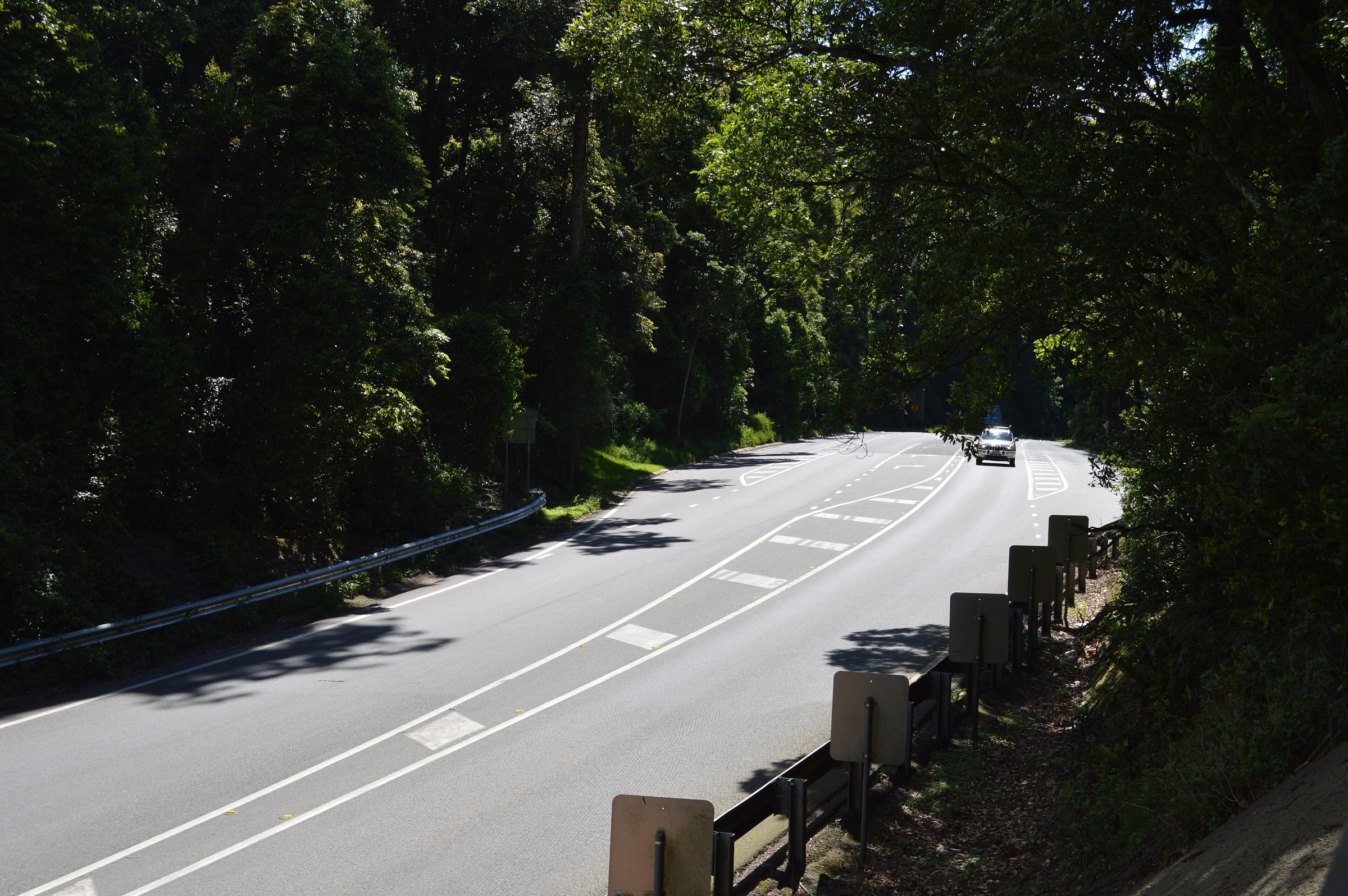
Cunninghams Gap is on the Cunningham Highway, about 95 minutes (112 km) by car from Brisbane CBD without traffic. The Crest car park has a single entry and exit, and a vehicle towing a caravan can have trouble turning around, so allow for that. Parking arrangements near the gap can change with roadworks, so check Queensland Parks for current alerts and QLDTraffic for road conditions on the highway.
Nearby
- Main Range National Park – camping, Spicers Gap, Goomburra and Queen Mary Falls.
- Lake Moogerah – swimming, camping and fishing at the lake below the range.
- Mount Greville – another Scenic Rim summit walk.
- Kooroomba Vineyard and Lavender Farm – lavender and wine after a walk.
- Binna Burra and Curtis Falls – more Scenic Rim rainforest walks.
Browse scenic drives, lookouts and the Scenic Rim.
You might also like
- Boonah – things to do, markets and lookouts.
- Laidley (Lockyer Valley)
- Tallebudgera Valley (Gold Coast Hinterland)
Quick answers
What is Cunninghams Gap?
A mountain pass on the Cunningham Highway, 787 metres above sea level, between Mount Cordeaux and Mount Mitchell in Main Range National Park.
How long does it take to drive to Cunninghams Gap from Brisbane?
About 95 minutes (112 km) from the CBD without traffic.
What is the best easy walk at Cunninghams Gap?
The Rainforest circuit, about 1.6 km return, with stairs up to the Fassifern lookout.
Can you take dogs to Cunninghams Gap?
Not on the Rainforest circuit. National parks generally restrict pets, so check with Queensland Parks before bringing a dog.
Are there toilets and a picnic area?
Yes. The picnic area at the western end of the Box Forest track has picnic tables and toilets, but no barbecue is listed.

0 Comments