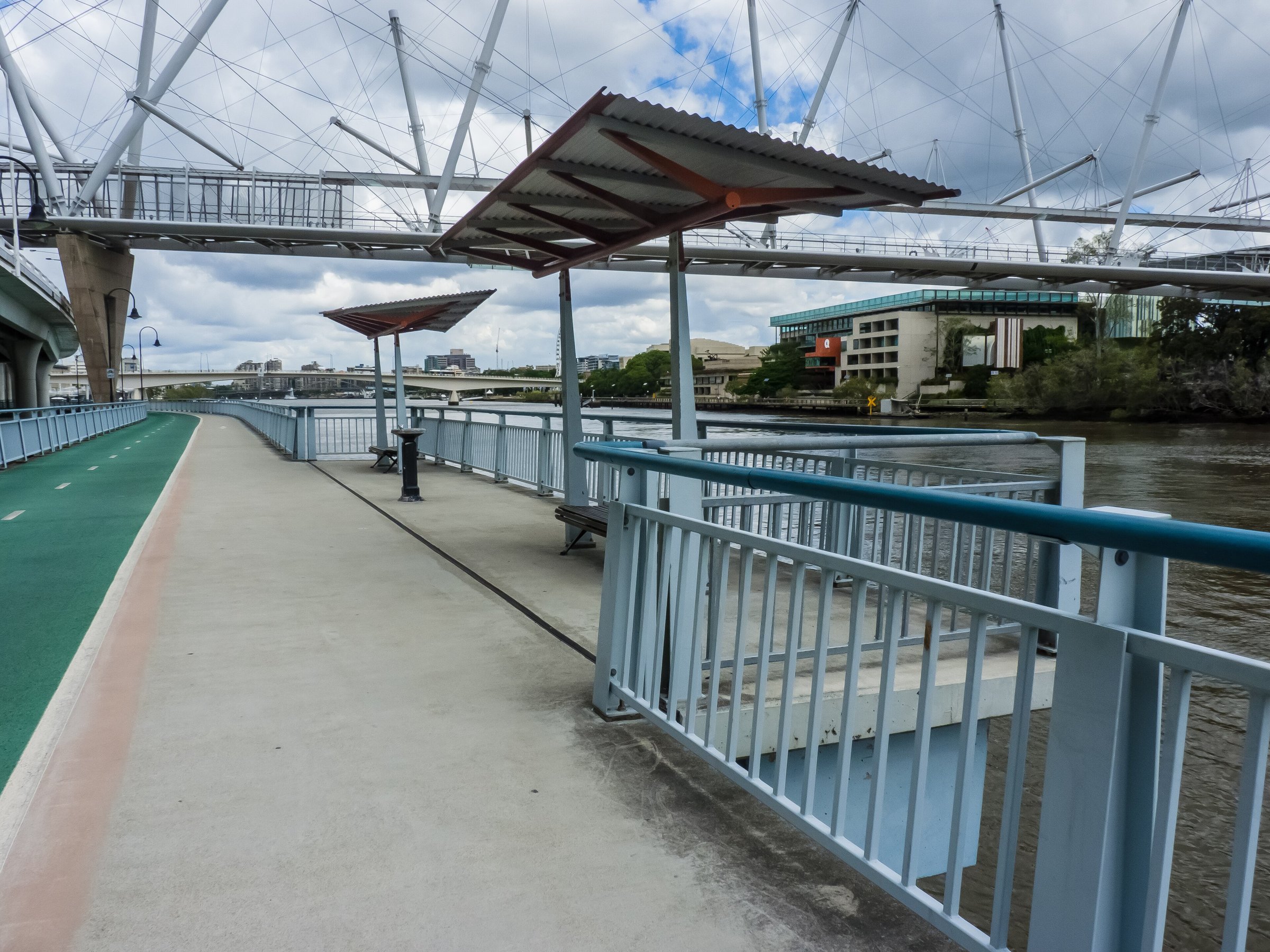
The Bicentennial Bikeway is an off-road path of about 4.8 km along the Brisbane River, running from Toowong to the Brisbane CBD with separate paths for bikes and pedestrians. It is one of the easiest ways to ride or walk into the city without sharing the road.
The path runs along the northern riverbank, passing Auchenflower and Milton alongside Coronation Drive, and reaches the CBD. Brisbane City Council says it suits walkers, cyclists and scooter riders of all ages and abilities.
Bicentennial Bikeway route
From the western end at Toowong, the path follows the river east through Auchenflower and Milton to the CBD. At the city end it joins paths to South Bank, Kangaroo Point and New Farm, so you can carry on across the river or to the east.
Two river crossings nearby have their own guides: Kurilpa Bridge and the Go Between Bridge.
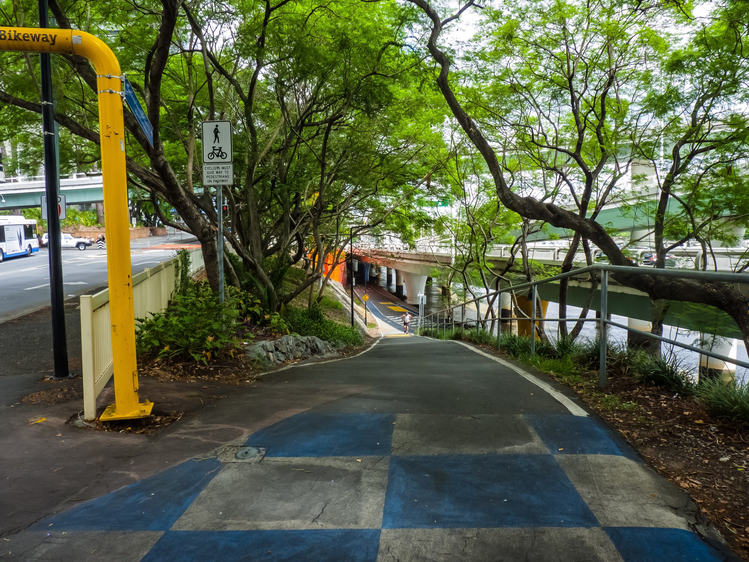
What you will see along the way
The path has river views, with shade shelters and seating along the riverbank. State and council upgrades have added lighting, shade structures, landscaping, bike parking and signage over the years.
At the city end the route leads on to the Brisbane City Botanic Gardens and the dining at Howard Smith Wharves.
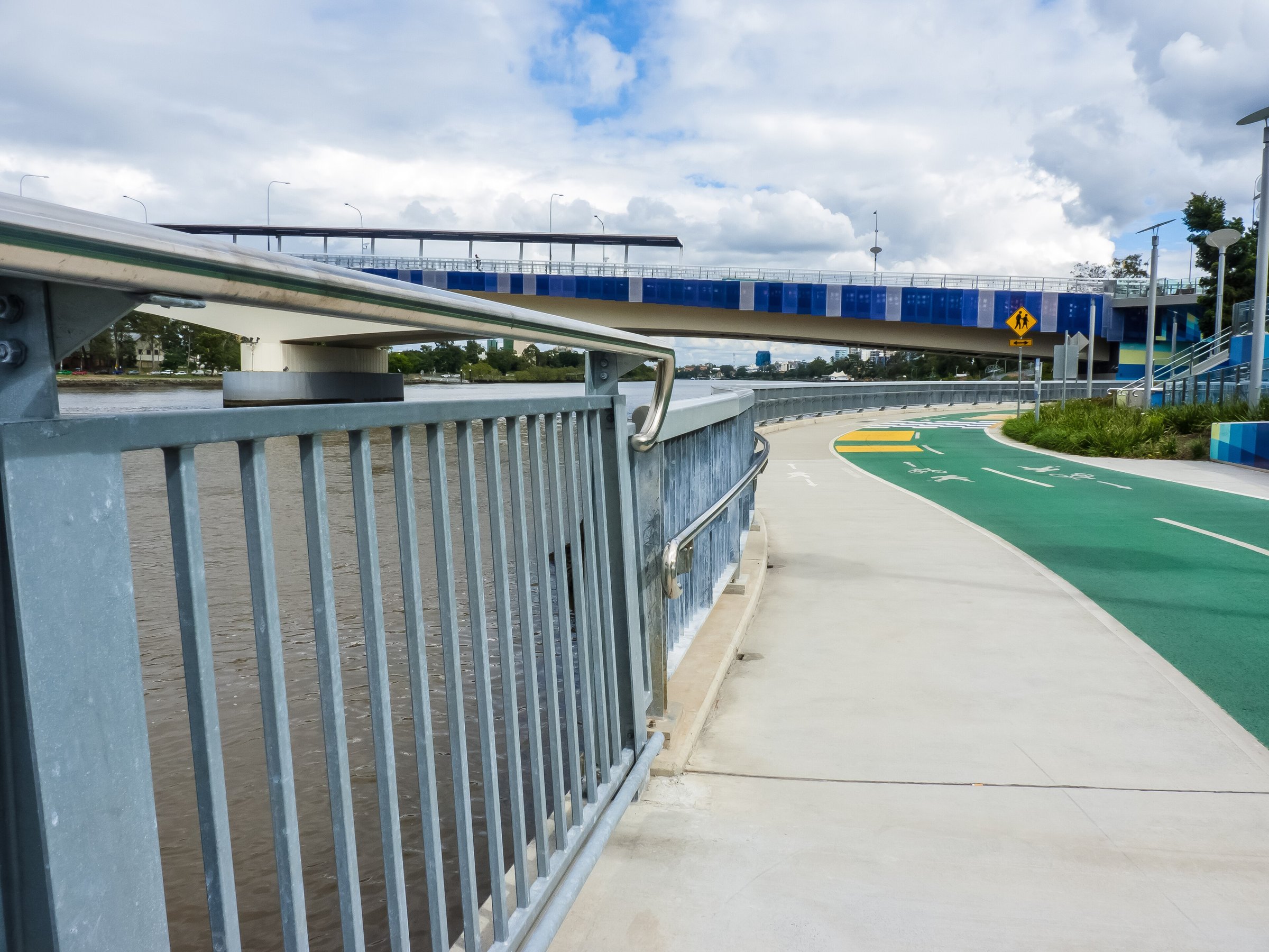
History and upgrades
The bikeway has been upgraded in stages. Stage one, between Park Road and Little Cribb Street, was completed in September 2009. Stage two, officially opened in November 2010, added another 500 m of path, widened the shared pathway so pedestrians and cyclists are separated, and added lighting, shade structures, landscaping, bike parking and signage. The stage two upgrade cost $4.1 million and was part of a four-stage project.
After the 2022 floods the bikeway reopened once the State Government removed the Drift Restaurant, which had blocked a key section. Together with the City Reach Boardwalk and the City Botanic Gardens Riverwalk, it completed a route from Toowong to Howard Smith Wharves, and riders can continue to New Farm and Hamilton.
Where to join the path
The two ends are Toowong in the west and the CBD in the east. In between, the path runs through Auchenflower and Milton, and there is a connection at North Quay. If you are not riding the whole way, pick a section: a riverside walk from the city end is an easy start.
Longer rides from the bikeway
The bikeway works as the spine of a longer ride. From the city end, Council says paths lead on to South Bank, Kangaroo Point and New Farm, and the riverfront route continues to Hamilton.
That makes it a handy way to link a morning at South Bank Parklands or the City Botanic Gardens with a train or ferry home from Toowong.
Is the Bicentennial Bikeway good for families and walkers?
Yes. Walkers and riders have separate paths, so it is a calmer choice than a shared footpath. Council also allows e-scooters and e-skateboards on Brisbane’s bikeways, so watch for them.
The Toowong village guide covers where to eat at the western end.
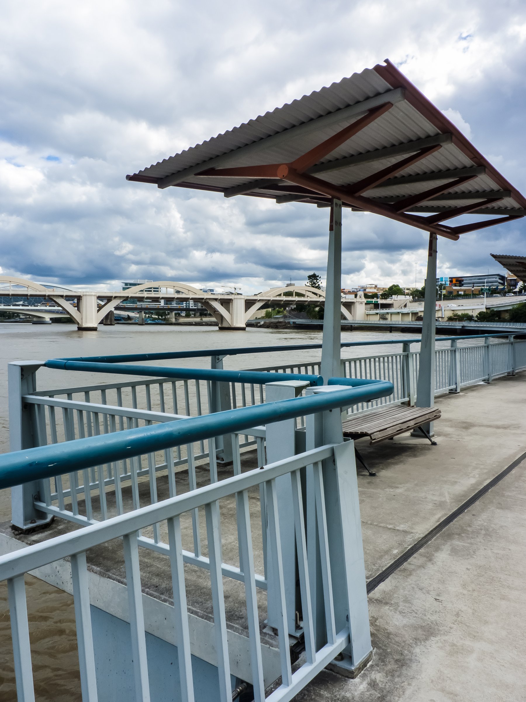
Walking and riding safely
Stay on the path that matches how you are travelling: walkers on the pedestrian path and riders on the bike path. Council allows e-scooters and e-skateboards on Brisbane’s bikeways, so expect a mix of fast and slow traffic, especially at commute times. Council’s bikeway safety, signage and rules page has the full rules.
Planning your visit
- How long: the path is about 4.8 km one way, or about 9.6 km out and back.
- Cost: free.
- What to bring: water, a helmet if you are riding, sun protection and a lock for the bike.
- Rules: Brisbane City Council has a bikeway safety, signage and rules page.
Getting there
The western end is at Toowong. Toowong has both a train station (Translink T1 and T2 services) and the Regatta ferry terminal, so you can arrive by train or ferry; check Council’s bikeway map for the best way onto the path. Toowong is about 9 minutes by car from the CBD, about 5 km.
See Council’s Brisbane bikeways page and the bikeway map.
Nearby
- Kurilpa Bridge – the walking and cycling link to South Bank.
- South Bank Parklands – playgrounds, Streets Beach and riverside picnics.
- Kangaroo Point Bridge – walk or ride across to Kangaroo Point.
- Toowong – cafes and the village at the western end.
- Mount Coot-tha Forest – more bike trails and walks.
- More in Bike trails and Brisbane.
You might also like
- Brisbane Valley Rail Trail (Fernvale)
- Orleigh Park (West End)
- Banks Street Reserve (Alderley)
Quick answers
How long is the Bicentennial Bikeway?
About 4.8 km one way, from Toowong to the Brisbane CBD.
Where does the Bicentennial Bikeway start and finish?
It runs from Toowong to the Brisbane CBD, along the northern bank of the Brisbane River.
Can you walk the Bicentennial Bikeway?
Yes. Bikes and pedestrians have separate paths along the route.
Are e-scooters allowed on the Bicentennial Bikeway?
Brisbane City Council allows e-scooters and e-skateboards on Brisbane’s bikeways. Check its e-mobility page for the rules.
Where does the Bicentennial Bikeway connect to?
At the CBD it connects to paths to South Bank, Kangaroo Point and New Farm.

0 Comments