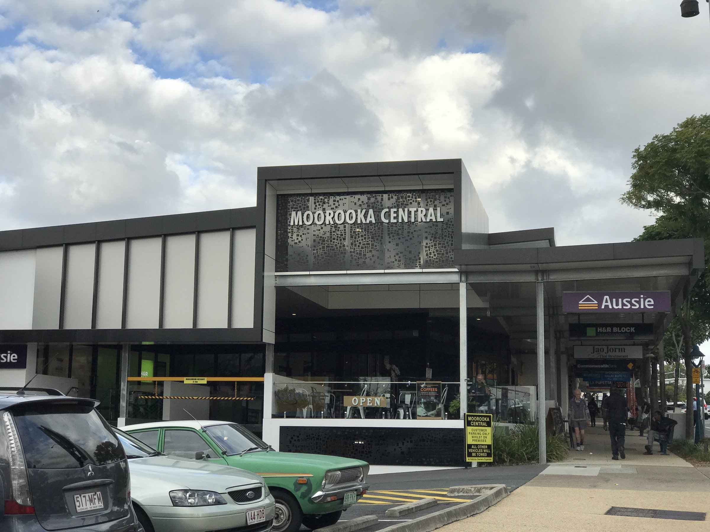
Moorooka is a southern Brisbane suburb about 15 minutes by car from the CBD, and the reason to visit is food. Beaudesert Road has a strip of African and Middle Eastern eateries, and the suburb is often called “Little Africa” because of the South Sudanese, Somali and Ethiopian communities who settled here.
Around the food you get a few other stops: a skate park, a heritage trail, a heritage-listed school and the edge of Toohey Forest Park. It suits a lunch with a short wander, not a full day.
Moorooka restaurants on Beaudesert Road
Most of the dining sits on Beaudesert Road, with several eateries tucked into the back of old shopping arcades. Ethiopian and Eritrean food is the headline, with shared combo platters, and there is Sudanese and Middle Eastern halal food as well.
Places to look at include Arhibu, an Ethiopian and Eritrean restaurant at 197 to 201 Beaudesert Road (listed as closed on Sundays), Ethiopian Village at 147 Beaudesert Road, and Umdorman Cafe at 173 Beaudesert Road, a Sudanese and Middle Eastern halal cafe. Each keeps its own hours, so check before you go. Because several sit inside arcades off the main road, walk in rather than expecting a shopfront on the street. Umdorman Cafe is listed as open daily from 8 am to 10 pm, and Ethiopian Village lists street parking.
Moorooka Central and shopping
Moorooka Central is the suburb’s shopping centre, on Beaudesert Road, so it is easy to combine a meal with a browse. Ipswich Road on the western side is dominated by car dealerships, known as the “Magic Mile of Motors”, so it is not a place to stroll.
Heritage in Moorooka
Moorooka State School is on the Queensland Heritage Register, and it holds an annual festival in July.
Brisbane City Council’s Salisbury Heritage Trail, a 2 km walk of about 45 minutes to an hour through the former Rocklea Munitions Works in Salisbury, has an optional extension that starts at Moorooka Playground Park and covers the former war workers’ housing estate (about 1.5 km return). Most stops on the trail are private property, so you view them from the street, and some parts may not suit people with limited mobility.
Parks, skate park and Toohey Forest
Muriel Avenue Park at 70 Muriel Avenue is home to the Peter Scott Skate Park, listed on council’s Moorooka parks page. Moorooka State School also has two tennis courts, bookable through the school on 07 3426 5333.
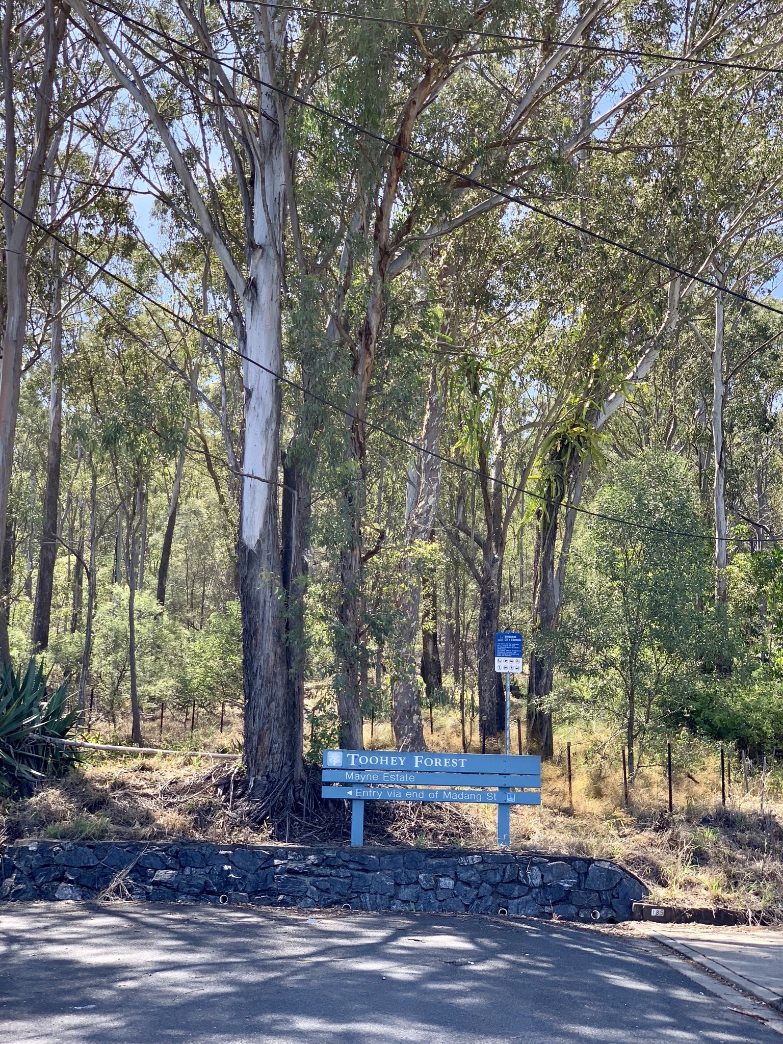
The suburb’s eastern edge borders Toohey Forest Park. If you want a view after lunch, see our Mount Gravatt Lookout guide.
Planning your visit
- How long: 1 to 2 hours for a meal and a look around Beaudesert Road.
- Best time: lunch or an early dinner; check each eatery’s hours, as small places vary.
- Cost: free to visit; meals are extra and some places take cash only.
- What to bring: cash, an appetite and a friend to share a platter.
Getting to Moorooka and parking
By car, Moorooka is about 9.7 km from the Brisbane CBD, about 15 minutes without traffic. Parking details for individual arcades are not published, so look for on-street spaces and signs near Beaudesert Road.
While the station is closed, StationLink route 19 is the bus link. It runs every 15 minutes at weekday peak times until nearly 8 pm, then every 30 minutes, and every 30 minutes on weekends. The buses are low-floor and accessible, and you can track them in the Translink app. Rocklea and Yeerongpilly stations are both open and accessible.
Moorooka railway station on the Beenleigh line is closed for rebuilding, and trains run express through it. Route 19 runs between Rocklea station and the PA Hospital busway station, with stops on Ipswich Road. Check the Cross River Rail station update for the latest, and plan your trip with the Translink Journey Planner or call 13 12 30.
Nearby
- Rocklea – the Saturday Fresh Market suburb next door.
- Rocklea Markets – a big undercover Saturday market.
- Mount Gravatt Lookout – a lookout and walks nearby.
- Sunnybank – another southside food suburb.
- Coorparoo – cafes and shops on the way back to the city.
- Woolloongabba – the Gabba precinct, closer to the CBD.
Browse more restaurants and everything in Brisbane.
You might also like
- West End (Brisbane)
- Regatta Hotel (Toowong)
- Story Bridge Hotel (Kangaroo Point)
Quick answers
What is Moorooka known for?
Its African and Middle Eastern food, especially Ethiopian, Eritrean and Sudanese eateries on Beaudesert Road. The suburb is often called “Little Africa”.
How far is Moorooka from the Brisbane CBD?
About 9.7 km by road, about 15 minutes by car without traffic.
Is Moorooka station open?
Not at the moment. The station is closed for rebuilding and trains run express through it. StationLink bus route 19 serves Ipswich Road between Rocklea station and the PA Hospital busway station.
Are there Moorooka markets?
Not in the suburb itself. The big Saturday market is at nearby Rocklea.
Is there a skate park in Moorooka?
Yes. Peter Scott Skate Park is at Muriel Avenue Park, 70 Muriel Avenue.
0 Comments