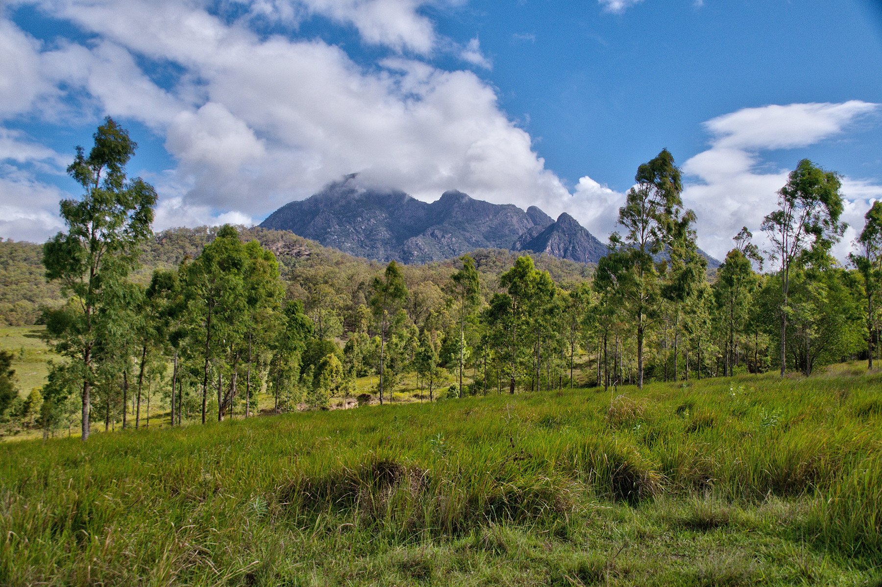
Mount Barney is the big peak of the Scenic Rim, at 1,359 m, and it is a serious climb: there is no marked summit track and the summit routes are for experienced, fit walkers only. If you just want a good day out at its foot, the Yellow Pinch lookout and the Lower Portals swimming-hole walk are the two easier options, and both start near Rathdowney.
Mount Barney sits in Mount Barney National Park, about 20 km from Rathdowney and roughly 50 km south of Boonah. You can see it from the lookout on Mount French outside Boonah.
Climbing Mount Barney: read this first
Queensland Parks advises that people using the summit routes must be well-prepared climbers with a high level of fitness, bush navigation skills and rock-scrambling and climbing experience. There is no easy way to climb Mount Barney.
The routes are not formed, maintained tracks. Queensland Parks notes a few directional markers at key points on the South Ridge and South East Ridge routes, and that is all. Logan’s Ridge is unmarked and for experienced walkers only. The rock is steep and exposed in places and very slippery when wet.
The South Ridge (also called Peasants Ridge) is the easiest way up, and Visit Scenic Rim still calls it “by no means an easy hike”. A trip is a long full day, about 8 to 9 hours return to the East Peak by the more direct routes, so start early. The summit can be more than 10 degrees cooler than the car park, so carry warm layers and a rain jacket.
- Tell someone your route and when you expect to be back, and check the Queensland Parks alerts for the park before you leave.
- Carry a topographic map and compass or GPS and know how to use them. Mobile reception is patchy.
- Creeks around the mountain can flood after heavy rain, so do not cross a rising creek.
- Camping is not permitted on either summit.
- If you are not experienced, join a bushwalking club or book a guided walk. Mount Barney Lodge, near the Yellow Pinch trailhead, offers guided hikes.
Yellow Pinch lookout walk
Yellow Pinch is the main trailhead for the park and the best start for a short walk. The Yellow Pinch lookout track is 2 km return and takes about an hour. It climbs steadily, and it is graded 4, so expect a steep uphill walk. It ends at a natural lookout with a view of Mount Barney’s East Face.
The Yellow Pinch car park gets busy on weekends and holidays, so arrive early. There is a toilet at the car park.
Lower Portals walk and swimming
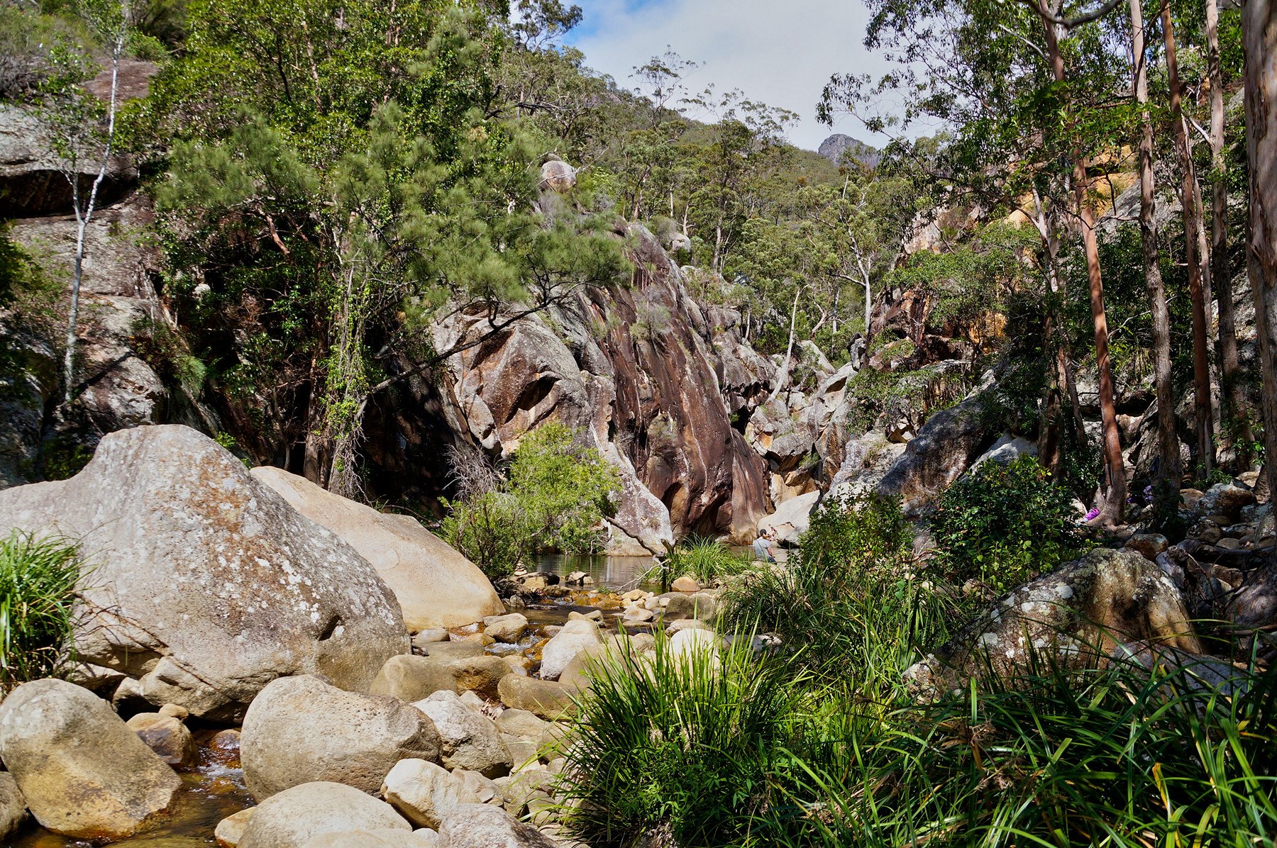
The Lower Portals track is 7.4 km return, graded 4, and takes about 3 hours. It runs through eucalypt forest and grass-trees, has moderate to steep slopes and rough sections, and crosses rocky creek crossings. Follow the directional signs where the track crosses the creek.
At the end the track reaches a deep pool in a rocky gorge on Mount Barney Creek, a good spot to swim and explore on a warm day. The smaller Lower Portals car park, at the end of Lower Portals Road, is the start for this walk and is less used than Yellow Pinch.
Other walks in the park
The Cronan Creek Falls walk is 12 km return from the Yellow Pinch trailhead, graded 4, with the falls about 100 m off the management trail. The Upper Portals walk is about 9 km return and needs a 4WD to reach the start.
For a shorter summit-style walk with a clear track, try Mount Ngungun, and for rainforest walks and waterfalls see Lamington National Park. Browse more hiking trails.
Camping at Mount Barney
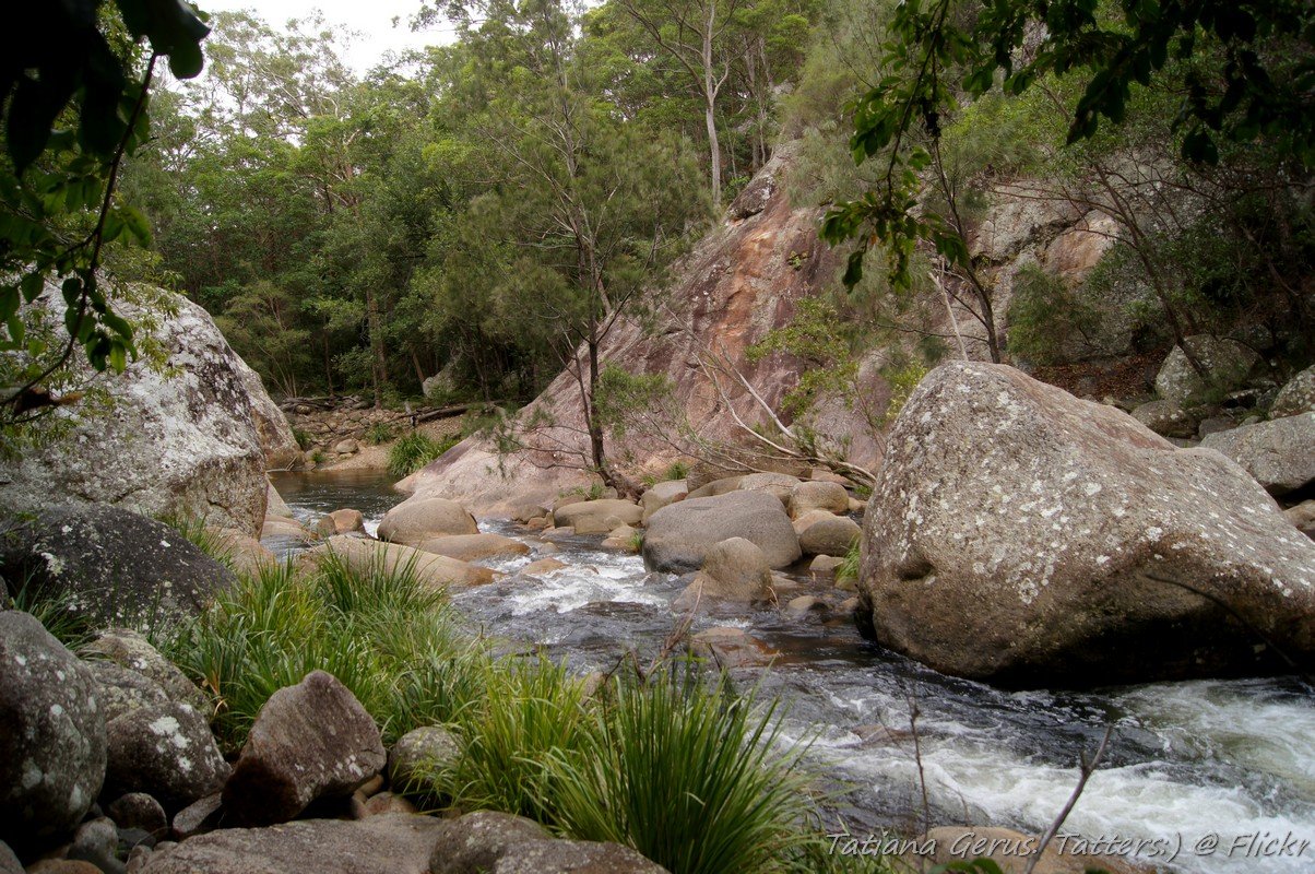
Queensland Parks runs walk-in remote bush camps in the park. They have no facilities, so you carry everything in and everything out, and you must book online before you go. The Lower Portals bush camp has three sites, with a maximum of 18 people, and is reached by a 3.7 km walk from the Lower Portals car park. Open fires are not allowed, so bring a fuel stove.
If you would rather camp by the car, Mount Barney Lodge Country Retreat, near the Yellow Pinch trailhead, has a grassy campground for tents and RVs and a homestead and cabins, within walking distance of several trails. Visit Scenic Rim also lists Bigriggen Park and Flanagans Reserve on the Logan River as vehicle-accessible options. For the basics, see our guides to cheap camping near Brisbane, Leave No Trace and hiking in South East Queensland, and see all camping options.
Planning your visit
- How long: 1 hour for Yellow Pinch, about 3 hours for Lower Portals, a full day for the summit (about 8 to 9 hours return).
- Best time: the cooler months for the longer walks. Avoid going after heavy rain, when creeks run high.
- What to bring: plenty of water, sturdy shoes, a hat, sunscreen, warm layers and a rain jacket. Take swimmers for the Lower Portals pool.
- Toilets: at the Yellow Pinch car park. The bush camps have none.
- Dogs: not allowed. Queensland national parks do not allow pets, except certified assistance dogs.
Getting to Mount Barney
By car, the Yellow Pinch car park is about 120 km from the Brisbane CBD, about 2 hours 5 minutes, and about 2 hours from the Gold Coast. From Brisbane, take the Mount Lindesay Highway through Beaudesert and Rathdowney and follow the signs along Barney View-Upper Logan Road. From Rathdowney it is about 20 km, about 40 minutes. From Boonah it is about 50 km, about 1 hour 5 minutes by car.
It fits a Scenic Rim drive with Mount Tamborine and Canungra on the eastern side. Browse the whole Scenic Rim.
Nearby
- Rathdowney – the gateway town on the Mount Lindesay Highway.
- Boonah – country town and markets, with a lookout that views Mount Barney.
- Lake Moogerah – swimming, camping and a dam wall walk.
- Canungra – the hinterland town on the way to Lamington.
- Lamington National Park – rainforest walks and waterfalls.
Quick answers
Can you climb Mount Barney?
Yes, but only if you are an experienced, fit walker with navigation and rock-scrambling skills. There is no marked summit track, and a trip takes a long full day.
How high is Mount Barney?
The West Peak is 1,359 m above sea level and the East Peak is 1,354 m.
Is there an easy walk at Mount Barney?
The Yellow Pinch lookout walk is 2 km return and about an hour, and Lower Portals is 7.4 km return and about 3 hours. Both are graded 4, with steep sections.
Can you swim at Mount Barney?
Yes, at the deep pool at the end of the Lower Portals track.
Can you camp at Mount Barney?
Yes, at walk-in bush camps in the park that you book online, with no facilities. Camping is not allowed on either summit.
Can you take a dog to Mount Barney?
No. Dogs are not allowed in Queensland national parks, except certified assistance dogs.
How far is Mount Barney from Brisbane?
About 120 km, or about 2 hours 5 minutes by car to the Yellow Pinch car park.
0 Comments