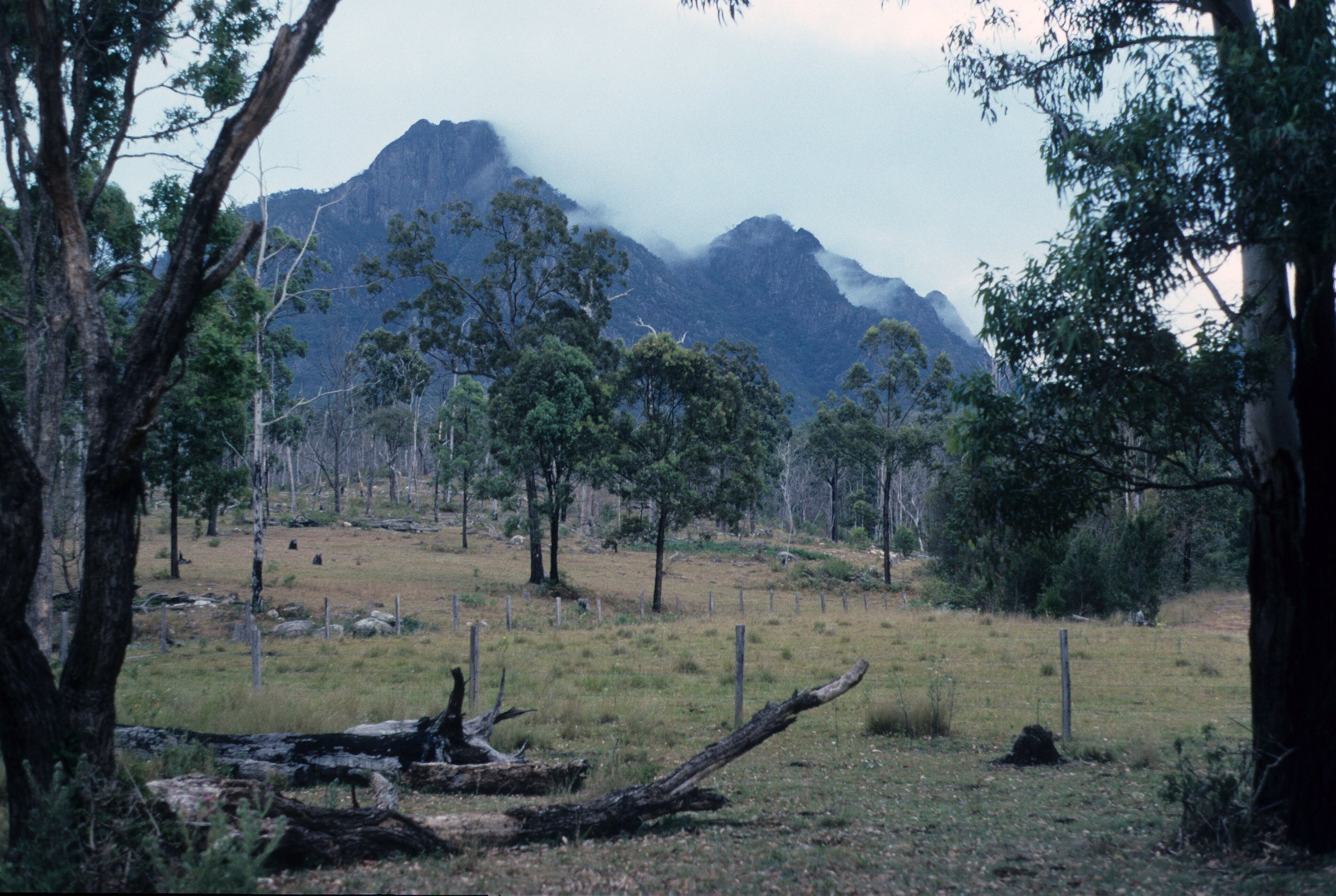
Rathdowney is a small town in the southern Scenic Rim, about 100 km by road from the Brisbane CBD, and the gateway to Mount Barney, the Logan River campgrounds and the Lions Road scenic drive. It has a pub, a museum, a few parks and not much else, which is the point: you come here for the mountains around it.
The town sits on the Mount Lindesay Highway at the foot of the McPherson Range, with the Logan River along its eastern edge. Plan on a stop for lunch or a picnic, then spend the rest of the day on the road or in the bush.
Things to do in Rathdowney
The town
The Rathdowney Information Centre and Historical Museum is on the Mount Lindesay Highway and is open 9 am to 3 pm every day, including most public holidays. It is closed on Good Friday, Christmas Day, Boxing Day and Anzac Day. The centre can tell you what is open and how the roads are, and the phone number is 07 5544 1222.
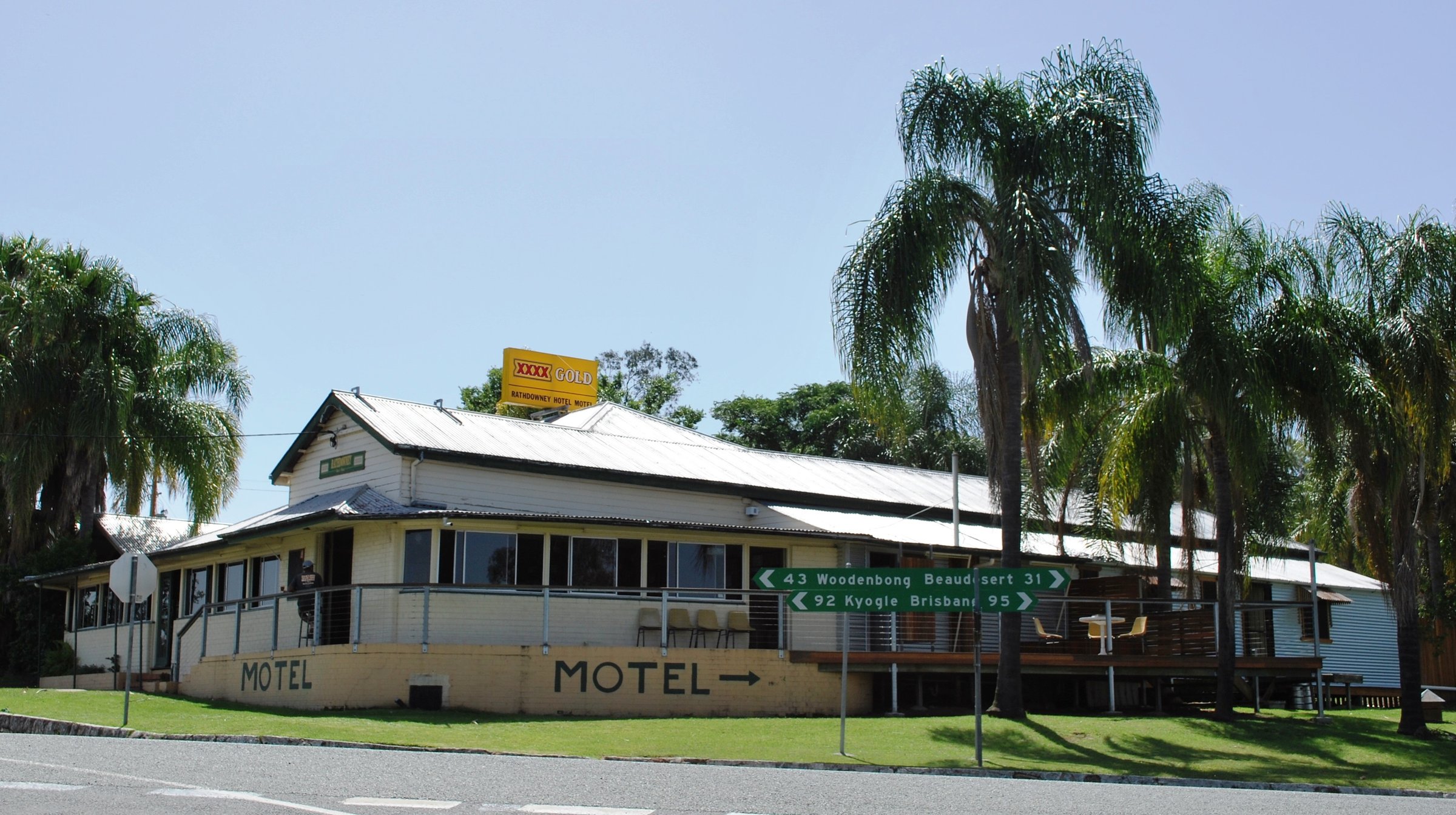
The Rathdowney Hotel Motel, on the corner of Collins Street and the Mount Lindesay Highway, has been a centrepiece of the town since the early 1900s. Phone 07 5544 1121 for meal times. There is also a small shop and a service station, so top up fuel here before you head up Lions Road.
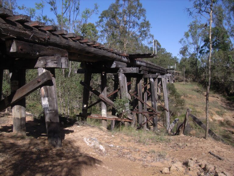
The town grew around timber, then cattle and dairy farming. A tramway from Beaudesert reached Rathdowney in 1911 and closed in 1944, and a railway siding from Glenapp now stands at the museum. The town takes its name from the Rathdowney pastoral station, named after the Murray-Prior family’s estates in Rathdowney, Ireland.
Parks and picnics
Rathdowney Memorial Grounds, on John Street, Collins Street and the Mount Lindesay Highway, has toilets, picnic tables, a playground and an electric BBQ. Collins Park on Collins Street has toilets, picnic tables and a playground. E M Tilley Memorial Park, on the highway, has toilets, picnic tables and wood fire BBQs.
Captain Logan Lookout Park at 25 John Street has a picnic table, and the town’s community site names it as a lookout over the mountains and valleys.
Mount Barney and the mountains around Rathdowney
Rathdowney is the closest town to Mount Barney, which rises 1,359 m and is Queensland’s fourth-highest peak. Mount Barney National Park is a designated wilderness park with some of the Scenic Rim’s most challenging walks, as well as rockpools, caves and woodland. Read our Mount Barney guide before you set out, and bring a map: these are not strolls.
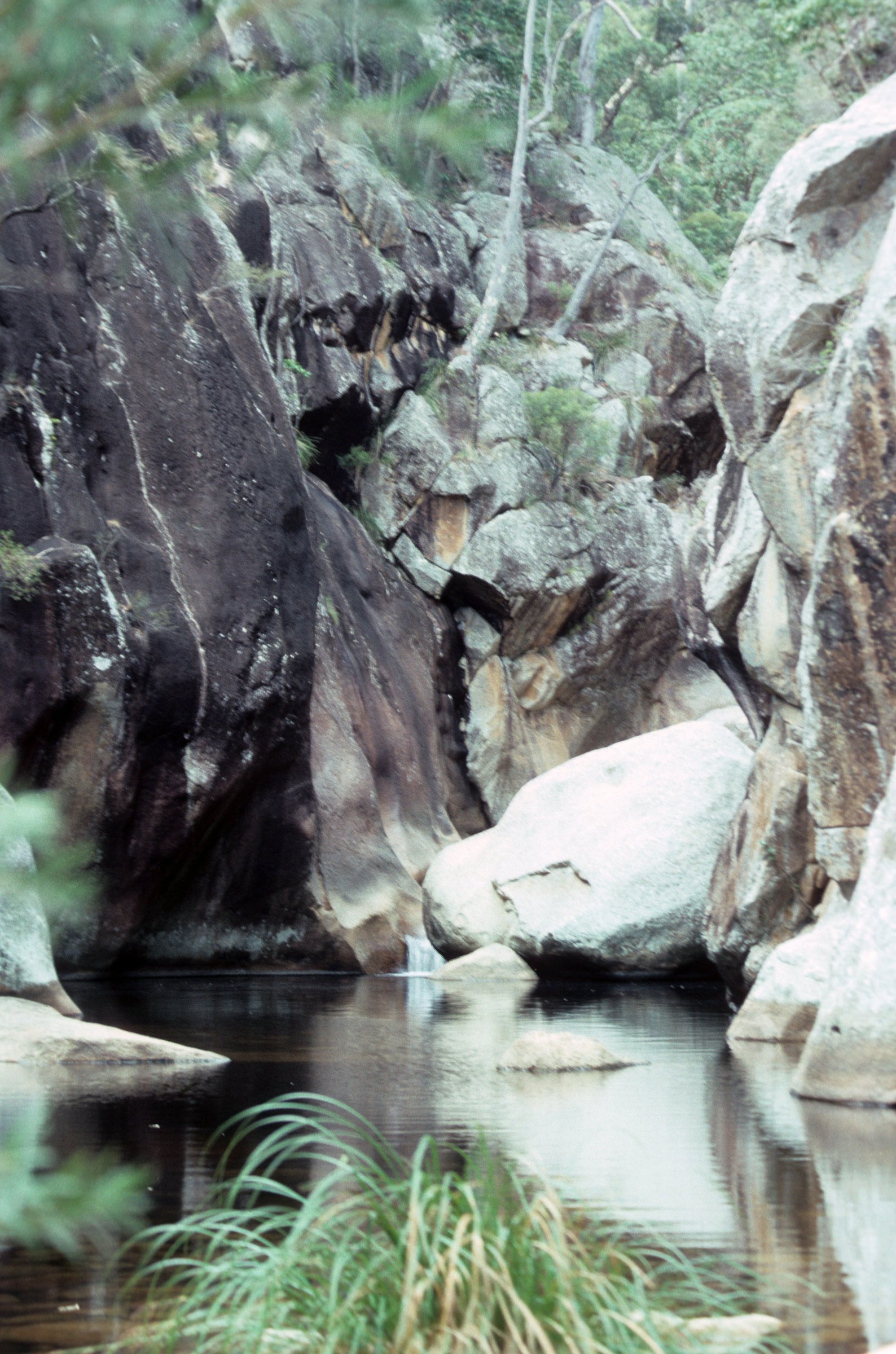
For something gentler, the Mount Barney guide covers the Yellow Pinch lookout walk and the Lower Portals swimming-hole walk, both about 40 minutes by car from town.
Lions Road scenic drive
Lions Road runs from the Mount Lindesay Highway near Rathdowney, via Running Creek Road, across the McPherson Range at Richmond Gap and into New South Wales, joining the Summerland Way. It is sealed, passes through Border Ranges National Park and opened in 1970; the Kyogle Lions Club provided most of the funding and voluntary labour.
Much of the road is a single lane with steep, winding sections, and some bridges are one lane. Trucks and vehicles towing caravans or trailers are not permitted. Kyogle Council has closed the road for long periods for repairs after floods and landslips, so check the council’s website or the Rathdowney centre before you go.
Camping near Rathdowney and the Logan River
Scenic Rim Regional Council lists three campgrounds around town: Bigriggen Park at Rathdowney, Flanagan Reserve at Barney View and Andrew Drynan Park at Running Creek. Visit Scenic Rim also lists camping at the Rathdowney Memorial Grounds, Barney View Bush Camping, Frogs Hollow and Scenic Rim Adventure Park, several of them booked through Hipcamp.
Fees and booking rules are not on the council page, so phone council on 07 5540 5111 or check Visit Scenic Rim before you drive out, especially on long weekends. For packing and manners, see our guides to camping on a budget, camping with dogs and camping etiquette, or browse all camping.
Planning your visit
- How long: a couple of hours for the town and a picnic, a full day if you add Lions Road.
- Cost: the town parks and lookout are free. Campgrounds charge fees, so check before you go.
- What to bring: fuel, food, water, sunscreen, a hat and sturdy shoes.
- Toilets: Rathdowney Memorial Grounds, Collins Park and E M Tilley Memorial Park.
Getting to Rathdowney
By car, Rathdowney is about 100 km from the Brisbane CBD, about 1 hour 30 minutes. It is about 30 minutes from Beaudesert and about 45 minutes from Boonah. Check the Translink Journey Planner or call 13 12 30 for public transport.
It fits a loop with the rest of the Scenic Rim: Boonah and Lake Moogerah to the north-west, and Canungra and Mount Tamborine to the east.
Nearby
- Mount Barney – the Scenic Rim’s big peak, closest to Rathdowney.
- Boonah – country markets, Mount French and Lake Maroon.
- Lake Moogerah – swimming, BBQs and camping.
- Canungra – a hinterland town on the road towards Lamington.
- Lamington National Park – rainforest walks and waterfalls on the other side of the range.
Browse more scenic drives or everything in the Scenic Rim.
Quick answers
How far is Rathdowney from Brisbane?
About 100 km by road from the Brisbane CBD, about 1 hour 30 minutes by car.
What is there to do in Rathdowney?
Visit the information centre and museum, picnic at the town parks, drive Lions Road, camp nearby, or use the town as a base for Mount Barney National Park.
Is there camping near Rathdowney?
Yes. Council campgrounds include Bigriggen Park at Rathdowney, Flanagan Reserve at Barney View and Andrew Drynan Park at Running Creek. Check fees and booking rules with council on 07 5540 5111.
Is Lions Road open to caravans?
No. Trucks and vehicles towing caravans or trailers are not permitted on Lions Road.
Are there public toilets in Rathdowney?
Yes, at Rathdowney Memorial Grounds, Collins Park and E M Tilley Memorial Park.
Is there a pub in Rathdowney?
Yes. The Rathdowney Hotel Motel is on the corner of Collins Street and the Mount Lindesay Highway. Phone 07 5544 1121 for meal times.
0 Comments