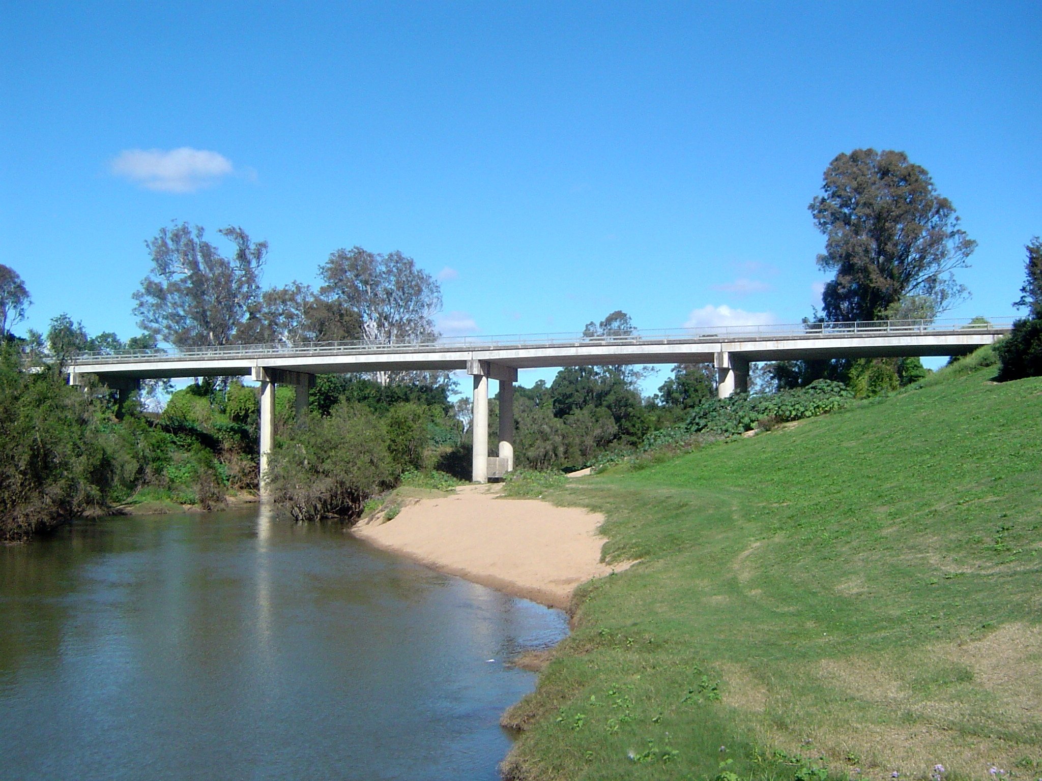
The Logan River is a 184 km river that rises in the Scenic Rim and runs through Logan City to Moreton Bay, and the easiest places to meet it are the council parks, boat ramps and kayak launches between Carbrook and Beenleigh. Most people come to paddle, to fish from the bank or to launch a boat, and the riverside parks make it a good family day as well.
This guide covers the most useful access points on the Logan River, what each has, and the safety points council asks every paddler and angler to follow.
Where the Logan River runs
The river rises below Mount Ernest in Mount Barney National Park, near the Queensland and New South Wales border, and empties into Moreton Bay east of Alberton. Its catchment covers about 3,076 square kilometres, and it passes Rathdowney, Beaudesert, Beenleigh, Loganholme, Loganlea, Bethania, Carbrook, North Maclean and Woodhill on the way.
The Yugambeh people called it Dugulumba. Captain Patrick Logan found it in August 1826 and the river took his name. Boat traffic was busy in the 1860s, with steamships, cutters and punts, and tidal water reaches just downstream of Maclean’s Bridge.
Paddling the Logan River
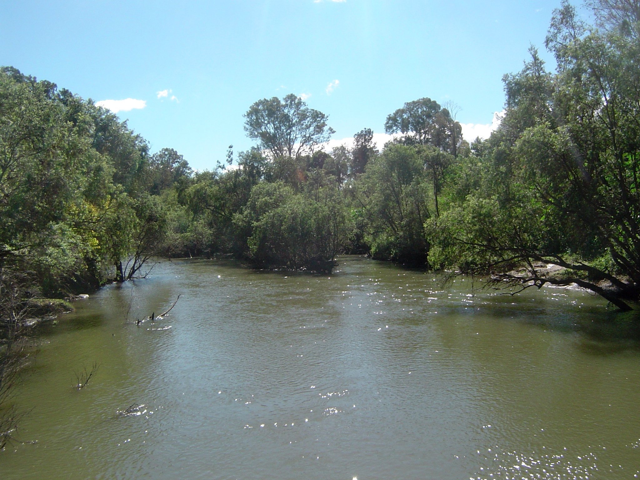
Logan City Council runs the Logan and Albert River canoe and kayak trail, with access points in parks along the river:
- Riedel Park, Carbrook: boat ramp.
- Skinners Park, Carbrook: a pontoon entry and exit platform near the boat ramp.
- Logan River Parklands, Beenleigh: a pontoon near the boat ramp.
- Alexander Clark Park, Loganholme: a pontoon on the southern side of the park.
- Riverdale Park, Meadowbrook: a pontoon in the park.
- Federation Drive Reserve, Bethania: boat ramp.
- Larry Storey Park, Waterford: beside the boat ramp, and council lists it as the beginner launch.
- Albert River Park, Eagleby: a pontoon in the northern part of the park, near Ramu Street.
Council’s trail map is on the canoe and kayak trail page. Paddle with the tide and close to shore, and watch for boats, jet skis and anglers.
Logan River fishing and boat ramps
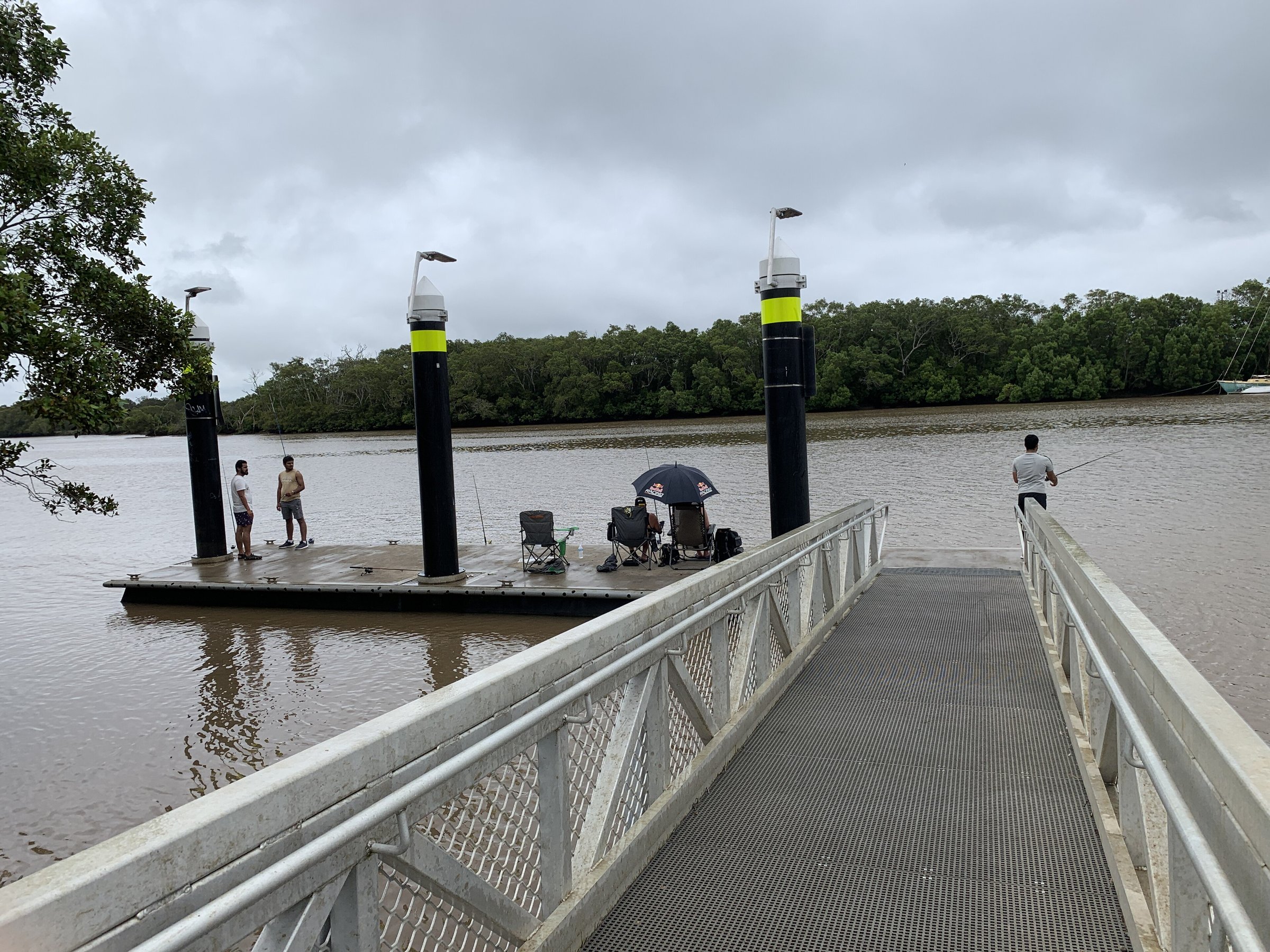
You can fish from the bank at several of the same parks. Federation Drive Reserve in Bethania has a boat ramp, canoe and kayak access and bank fishing, plus a playground and dog areas. At Alexander Clark Park in Loganholme there is a fishing pontoon on the river.
Logan River Parklands in Beenleigh has a playground, electric barbecues, toilets, a boat ramp and two off-leash dog areas. Gates open at 6 am and close at 6 pm or 7 pm depending on the season.
New to fishing? Our fishing for beginners guide covers licences, gear and rules.
River parks to visit
The river is as good for a picnic as for paddling. Loganholme has Alexander Clark Park with walking tracks, a playground and picnic facilities beside the water. Riverdale Park in Meadowbrook has extensive walking trails, and the sandy beach at Larry Storey Park is where the Greater Logan Paddler Club holds training sessions.
Further up the river, Jimboomba is the closest town with parks, a playground and monthly markets. Beenleigh sits on the lower reaches, near where the Albert River joins the Logan just east of town.
Staying safe on the river
- Plan your route, paddle with a friend and tell someone when you expect to be back.
- Wear a personal flotation device and check the weather, tide and currents first.
- Avoid swimming near estuary mouths, after dusk or alone, and leave the water if you see a shark.
- Wear shoes in the water: stonefish and catfish can sting.
- Avoid discoloured or smelly water, and avoid the river for up to five days after heavy rain or floods because of blue-green algae.
Planning your visit
- How long: a morning for a paddle between two council access points, or a few hours for a park and a fish.
- Best time: early morning, with the tide going your way.
- What to bring: a hat, sunscreen, water, food, a phone in a waterproof bag and a first aid kit.
- Cost: no fees are listed for the council parks and launches.
Getting there and parking
Loganholme is about 33 km by road from the Brisbane CBD, about 30 minutes by car without traffic. Beenleigh has a train station, and Jimboomba is about 45 minutes by car; no train runs there, but buses connect to Browns Plains station. Check routes with the Translink Journey Planner.
Parking details are on each council park page, so check the signs on arrival. Facilities and times change, so check council’s pages before you go.
Nearby
- Loganholme – Alexander Clark Park and Tudor Park on the river.
- Beenleigh – riverside parks, a historical village and a rum distillery.
- Alexander Clark Park – playground, dog areas and river walks.
Browse more lakes and rivers, fishing spots and places in Logan.
You might also like
- Jimboomba – parks, playgrounds and markets upstream.
- Northshore Riverside Park (Hamilton)
- Brown Lake (Dunwich)
Quick answers
Where does the Logan River start and finish?
It rises in Mount Barney National Park, near the NSW border, and empties into Moreton Bay east of Alberton. It is 184 km long.
Where can you launch a kayak on the Logan River?
Council lists access points at Carbrook, Beenleigh, Loganholme, Meadowbrook, Bethania, Waterford and Eagleby. Larry Storey Park in Waterford is council’s beginner launch.
Where are the Logan River boat ramps?
Council lists boat ramps at Riedel Park (Carbrook), Federation Drive Reserve (Bethania), Larry Storey Park (Waterford) and Logan River Parklands (Beenleigh).
Can you swim in the Logan River?
Council advises against swimming near estuary mouths, after dusk or alone, and warns about blue-green algae after heavy rain.
Is fishing allowed in the Logan River?
Yes, from the bank at parks such as Federation Drive Reserve and from the pontoon at Alexander Clark Park. Read the rules in our fishing guide first.

0 Comments