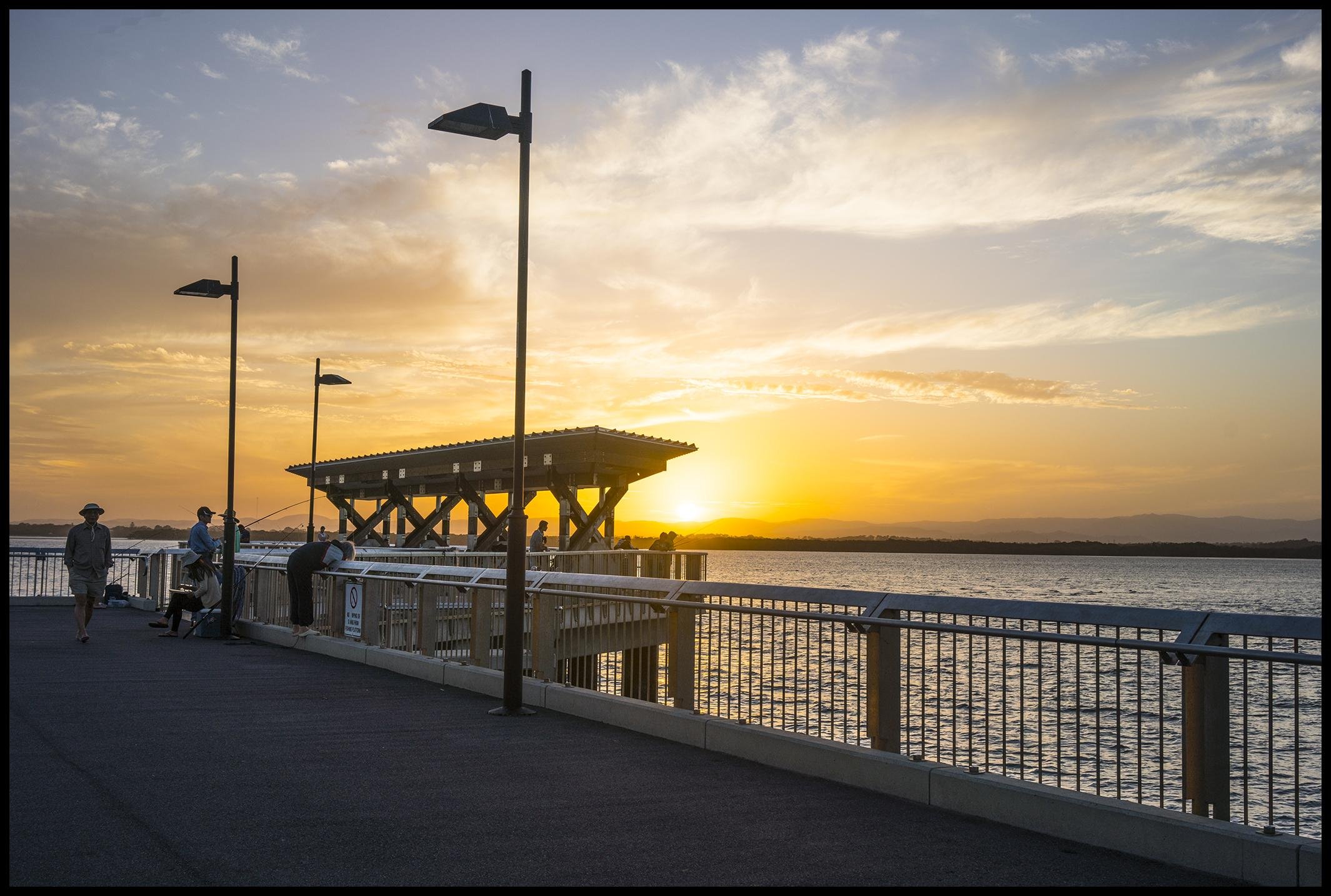
Hays Inlet is a tidal wetland of mangroves, saltmarsh and bushland on the Redcliffe Peninsula side of Bramble Bay, and the easiest place to see it up close is the Hays Inlet Eco Path at Clontarf. It is a quiet, natural stop, and free.
The inlet is slender and runs along the south-western edge of Clontarf, with parts of Mango Hill and Griffin on its other shores. Further inland it becomes Saltwater Creek at Rothwell. The Houghton Highway and Ted Smout bridges cross Bramble Bay just to the east.
What Hays Inlet is
The inlet is a mix of habitats: intertidal flats, mangrove forest, saltmarsh, casuarina forest and open eucalypt forest. That variety is why it matters for wildlife. It is a breeding ground with high productivity, and sections of it have been protected from commercial fishing for about 50 years.
Hays Inlet is part of the Moreton Bay Marine Park, and the Hays Inlet Conservation Park protects wildlife including kangaroos, flying foxes, eastern curlews, fish, crabs and prawns.
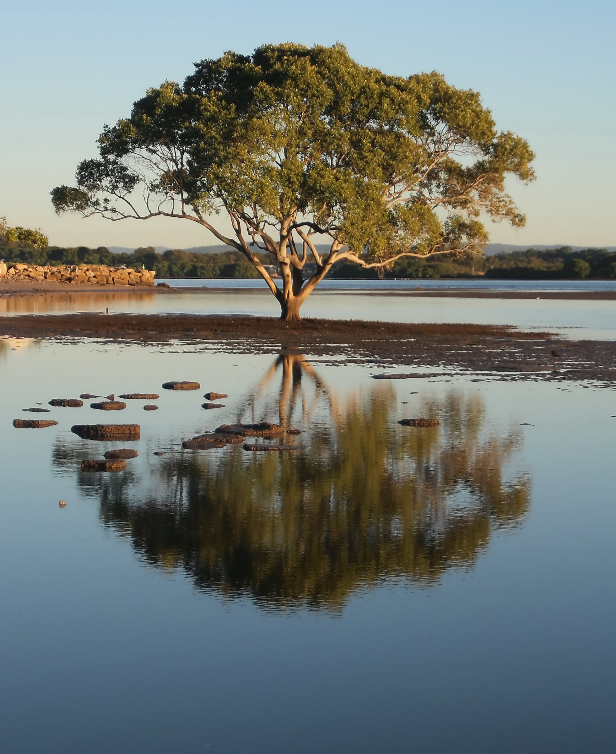
The Hays Inlet Eco Path at Clontarf
The Eco Path starts at the western end of Silcock Street, Clontarf. The first stage is a 200 metre concrete path that weaves through melaleuca bush, and the plan has been to extend it to about 650 metres with a boardwalk looking out over the inlet. Visit Moreton Bay lists the path as accessible.
The path was opened on Sunday 4 August 2019 with guided walks, and the Redcliffe Environmental Forum runs bushcare work around the inlet, including a koala habitat planting site. Bird surveys by Birders of the South Pine River helped shape what the path shows off.
What you might see
The first stage passes through melaleuca forest, where you may spot scarlet honeyeaters, friarbirds, flycatchers, silvereyes and fantails. Silcock Street Park acts as a buffer zone for the wetlands and has melaleuca, casuarina and eucalypt, the last of which provides koala habitat.
Birds are the main drawcard. Over five years of quarterly surveys, the Redcliffe Environmental Forum recorded 131 bird species at the inlet, including the endangered eastern curlew. The saltmarsh and mudflats are feeding and roosting habitat for resident and migratory shorebirds, and the area is also home to the threatened water mouse. Binoculars will help you pick birds out from a distance.
The name and the neighbourhood
You will see the inlet spelled both Hays and Hayes. Clontarf’s first land sale in 1881 was the “Hayes Inlet Estate”. Hays Inlet sits within the Moreton Bay Ramsar site, a wetland of international importance.
Nearby in Clontarf, Pelican Park is known for kite flying, and many kites can be seen above Clontarf from the Hornibrook Bridge area on weekends.
Water quality is worth knowing about. Green algae blooms have developed in the inlet, linked to high nutrient levels, so keep it as a place to look at rather than a place to swim.
Looking after the wetland
The saltmarsh here is protected under Queensland’s Fisheries Act 1994 and listed as a vulnerable ecological community under national law. Weeds such as broad-leaf pepper tree, groundsel bush and lantana compete with saltmarsh for space and sunlight, so Healthy Land and Water, the Redcliffe Environmental Forum and the local community worked on removing them across ten hectares of the conservation area. Target weed cover in the project area dropped from 40 per cent to 5 per cent.
It is a good reason to stay on the path and keep to the marked areas.
Fishing and paddling at Hays Inlet
Parts of the inlet sit inside Moreton Bay Marine Park zones, and each zone has its own rules. Check the Queensland Government’s marine park zoning maps before you fish, crab or launch a kayak, and follow the signs on site.
For a pier with fishing close by, the Redcliffe Peninsula has several, including Woody Point Jetty.
The old Hornibrook Bridge ends
Just east of the inlet, the Houghton Highway and Ted Smout bridges cross Bramble Bay. The original Hornibrook Bridge has been removed, but its end sections remain as recreational fishing areas.
Planning your visit
- Cost: Free.
- What to bring: Water, sun protection, insect repellent and binoculars.
- Dogs: The inlet is a conservation area, so check the signs at the path before bringing a dog.
Getting there and parking
Clontarf is about 35 minutes by car from the Brisbane CBD (about 29 km), over the Houghton Highway. The Eco Path starts at the western end of Silcock Street.
Clontarf does not have its own railway station. The Redcliffe Peninsula line runs between Petrie and Kippa-Ring, and Hornibrook Bus Lines routes 690 and 691 connect Clontarf with Sandgate station, so use the Translink journey planner to plan the last leg.
Nearby
- Deception Bay – foreshore, sea baths and a dog beach.
- Redcliffe Beach, Jetty and Lagoon – the main day-out stop on the peninsula.
- Suttons Beach, Redcliffe – swimming and a pavilion.
- Redcliffe Botanic Gardens – walks, a nursery and flying foxes.
- Tinchi Tamba Wetlands – a bird hide and walks beside the Pine River.
- North Lakes – lakes, playgrounds and parks nearby.
More wetlands and waterways are in Lakes and rivers, or browse Moreton Bay.
You might also like
- Cressbrook Dam (Biarra)
- Lake Kurwongbah (Whiteside)
- Lake Samsonvale (Moreton Bay)
Quick answers
Where is Hays Inlet?
It is a saltwater inlet off Bramble Bay in the City of Moreton Bay, along the south-western edge of Clontarf, and it becomes Saltwater Creek at Rothwell.
Is there a walk at Hays Inlet?
Yes. The Hays Inlet Eco Path at the western end of Silcock Street, Clontarf, is a concrete bush path of about 200 metres.
Is Hays Inlet safe for swimming?
It is better as a place to look at than to swim. Green algae blooms have developed in the inlet because of high nutrient levels.
Is Hays Inlet free to visit?
Yes, there is no entry fee.
What wildlife lives at Hays Inlet?
The conservation park protects kangaroos, flying foxes, eastern curlews, fish, crabs and prawns. Surveys have recorded 131 bird species at the inlet, and small bush birds such as scarlet honeyeaters and fantails live in the melaleuca along the Eco Path.
Can you fish at Hays Inlet?
Parts of the inlet are in Moreton Bay Marine Park zones with their own rules. Check the zoning maps and signs before you fish.



0 Comments