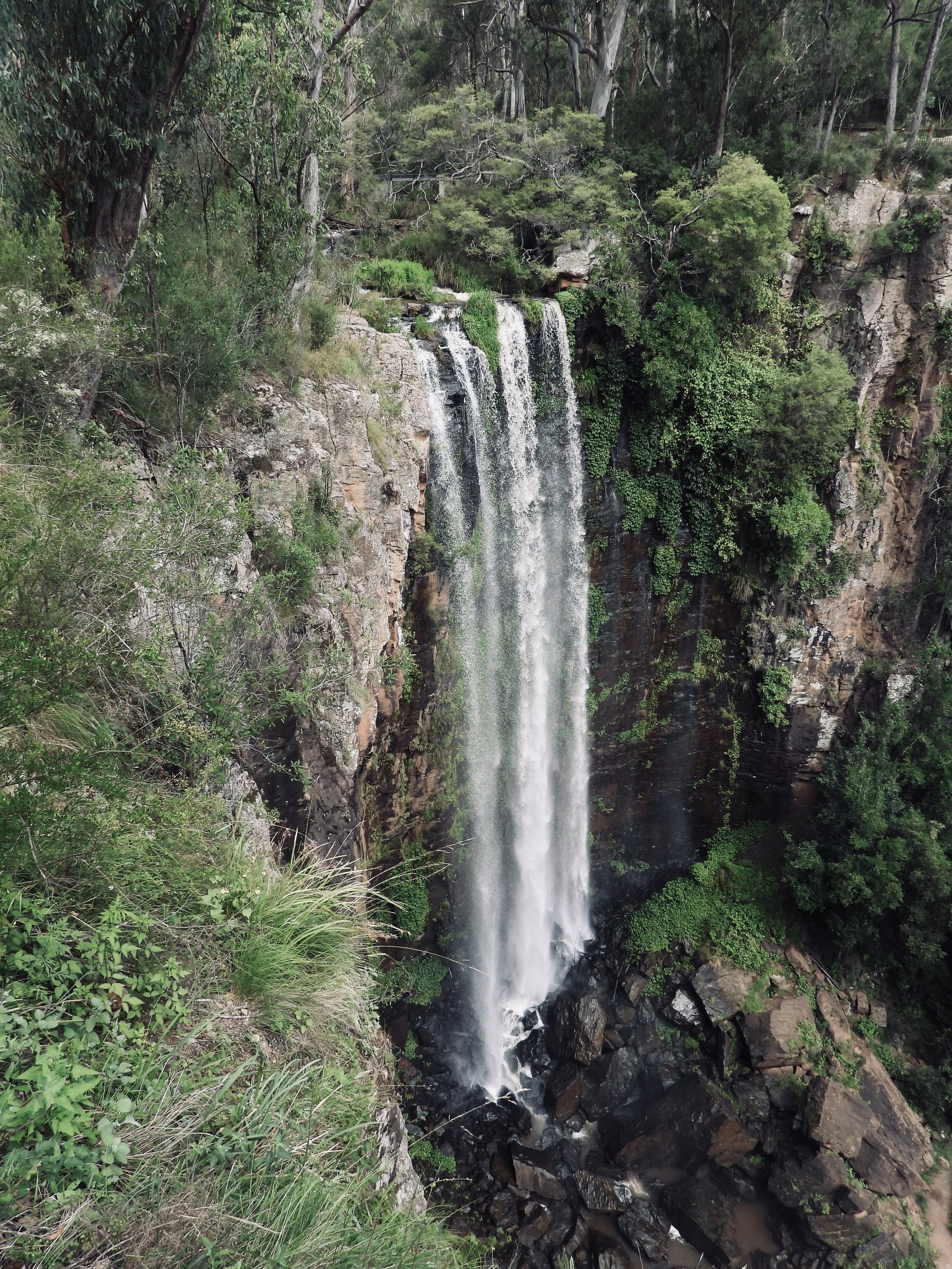
Queen Mary Falls is a 40 metre waterfall on Spring Creek, about 10 km east of Killarney in the Queen Mary Falls section of Main Range National Park. An easy, short walk takes you to a lookout over the drop, and a 2 km circuit goes down into the gorge to the base of the falls.
This post covers the falls themselves. For the rest of the park, including Cunninghams Gap and camping, see the Main Range National Park guide.
The lookout walk
From the car park, a well-defined track leads to the lookout. It takes about 20 minutes return to a viewing platform over the 40 m drop, with a few stairs, so it is the easy way to see the falls and suits all ages and fitness levels. Visit Southern Downs gives the track as 400 m, while other walking guides list 570 m to 900 m return, so treat the distance as roughly half a kilometre and go by the signs.
Take care at the edge of the gorge and keep a close eye on children at the lookout.
The creek plunges in a single drop into the gorge, and the mist creates rainbows on sunny days. Flow is strongest after rain.
Queen Mary Falls Circuit
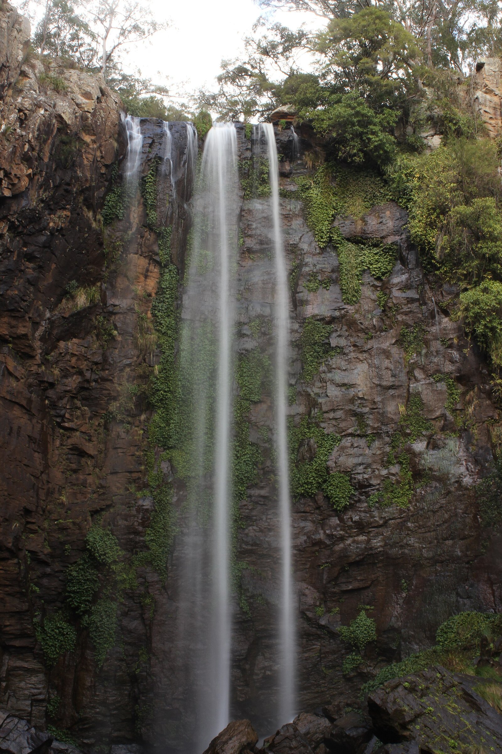
The Queen Mary Falls Circuit is a 2 km, Grade 3 track from the picnic area. It follows a ridgeline topped with eucalypts to a rainforested gorge, passes the lookout over the falls, then descends to the valley floor and the base of the falls. Allow about 40 minutes.
Rangers suggest walking the circuit clockwise, which they say is easier on the legs. At the base you can cool off in the falls’ misty spray.
Can you swim at Queen Mary Falls?
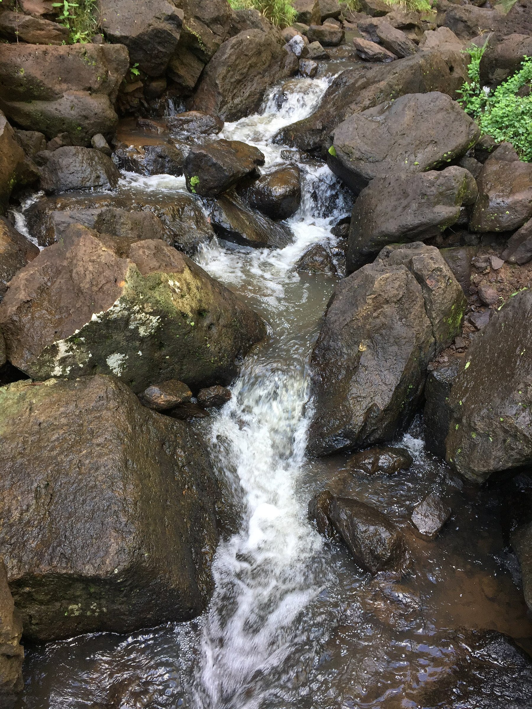
No. Visit Southern Downs, Brisbane Kids and Aussie Bushwalking all say you cannot swim at Queen Mary Falls, and one guide gives strong currents and the risk of injury as the reason. Browns Falls, further down Spring Creek Road, is the swimming spot, reached by an undeveloped track of about 600 m where you scramble over rocks and there is no distinct trail between the two falls. Allow at least 20 minutes.
Facilities and food
There is a large picnic area with toilets near the car park, and Aussie Bushwalking lists a barbecue as well. Dogs are not permitted at the falls. The Queen Mary Falls Tourist Park, directly across the road, is listed with a cafe, and the Spring Creek Mountain Cafe is just up the road. Check opening before you rely on either.
Fireflies and glow worms
Visit Southern Downs lists late October to November as the time to see fireflies and glow worms at dusk around the falls. If you plan a dusk visit, take a torch and remember the track and causeway can be slippery.
The Falls Drive
Queen Mary Falls is the main stop on the Falls Drive, an 80 km route that ends in Boonah. It also takes in Browns Falls, Daggs Falls, Carr’s Lookout and Moss Gardens.
- Browns Falls: the first of the three falls, with a play area, picnic tables, barbecues and amenities.
- Daggs Falls: about 1 km past Browns Falls, with a lookout close to the road over a 39 m drop.
- Carr’s Lookout: about 8 km beyond Queen Mary Falls, with views over the Head Valley.
After Carr’s Lookout the road is narrow and winding for 6 km, and heavy vehicles are not permitted.
Planning your visit
- How long: About 20 minutes for the lookout walk, about 40 minutes for the full circuit, plus time for a picnic.
- Best time: After rain, when the creek is running; summer days suit the cool spray at the base.
- What to bring: Water, sturdy shoes and a hat. Leave the dog at home.
- Caravans: The route from Boonah is very steep and not suitable for caravans.
Getting to Queen Mary Falls and parking
From Killarney, leave along Border Road for 3.5 km and turn left onto Spring Creek Road, then follow the signs to Queen Mary Falls. By car it is about 15 minutes from Killarney, about 45 minutes from Warwick and about 155 minutes from the Brisbane CBD. From Boonah the drive is about 80 minutes by the Falls Drive route.
The Falls Drive continues past the falls to Boonah, but the approach from Boonah is very steep and not suitable for caravans, so caravans should come in from Killarney.
The car park and picnic area are at the start of the walks. Plan the route with Visit Southern Downs.
You might also like
- Main Range National Park – the wider park, with camping and the Cunninghams Gap walks.
- Cunninghams Gap – lookouts and walks on the highway.
- Boonah – the town at the end of the Falls Drive.
- Lake Moogerah – a lake with camping and picnics in the Scenic Rim.
Mount Lindesay – another Scenic Rim peak.
More waterfalls: all waterfalls and the Scenic Rim.
Quick answers
How tall is Queen Mary Falls?
The falls drop 40 metres in a single plunge on Spring Creek.
How long is the Queen Mary Falls walk?
The lookout walk takes about 20 minutes return (guides give 400 m to 900 m). The full circuit is 2 km and takes about 40 minutes.
Can you swim at Queen Mary Falls?
No. Several guides say swimming is not allowed at the falls. Browns Falls, along the same road, is the swimming spot, via a rough 600 m track.
How far is Queen Mary Falls from Killarney?
About 10 km east of Killarney, around 15 minutes by car.
How far is Queen Mary Falls from Brisbane?
About 155 minutes by car from the Brisbane CBD, and about 45 minutes from Warwick.



0 Comments