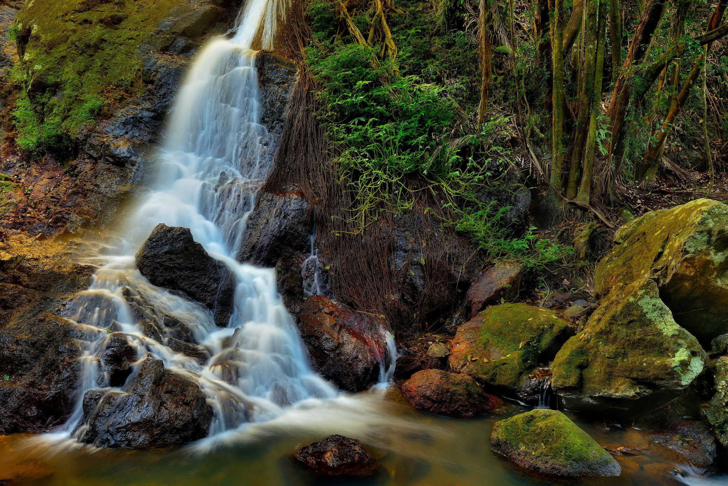
Kondalilla Falls is a rainforest waterfall in Kondalilla National Park, on the Blackall Range near Montville and Flaxton, about 1 hour 35 minutes by car from Brisbane. The name is a First Nations word meaning “rushing water”, and the main waterfall drops about 90 m into the valley. The park has a leisurely short circuit and a steeper walk that drops down the escarpment to the best view of the falls.
Every walk starts at the same grassy picnic area, so you can pick your track on the day. The falls flow all year, and they are at their best after summer rain.
Walks at Kondalilla Falls
Picnic Creek circuit
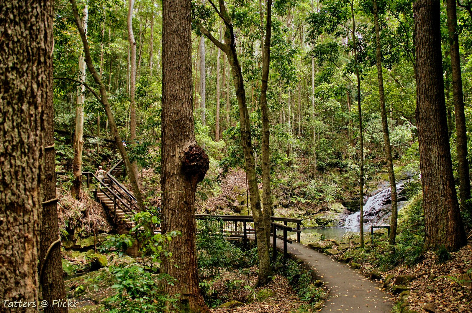
This is the easy one: 1.7 km return, about 45 minutes to 1 hour. It winds through eucalypt forest to a small waterfall, some cascades and a lookout over the valley. A short bitumen track also leads to Picnic Creek Falls, which suits a slow stroll.
Kondalilla Falls circuit
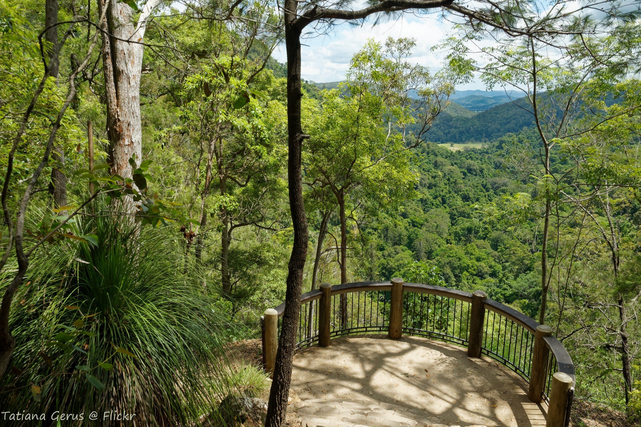
The Kondalilla Falls circuit is 4.7 km return and takes 2 to 3 hours. It passes through rainforest and open forest to a rock pool at the top of the falls, then descends into the valley for the best view of the waterfall. It is a grade 3 track: formed, with short steep sections and many steps, and some experience is recommended. Along the way look for emergent bunya pines, dense piccabeen palms and pink ash on the ridge climb.
There are over 300 stairs, and every one you go down you climb back up. You need to be reasonably fit. Tracks can be muddy after rain, so wear good shoes, take more water than you think you need and tell someone where you are going.
Which walk should you choose?
If you have small kids, a slow pace or limited time, the Picnic Creek circuit is the better pick. It is short, leisurely and still gets you a valley lookout and a waterfall.
If you want the classic view of Kondalilla Falls from the valley floor, do the Falls circuit. It follows the Picnic Creek track down the escarpment, so you can turn back early if the stairs are too much. Keen walkers can also join the 58 km Sunshine Coast Hinterland Great Walk, and the Picnic Creek track is part of its first section.
Both walks leave from the same picnic area, so a good plan is a picnic lunch first, then the walk you feel like. For a longer hinterland day, pair it with Montville, only a few minutes up the road.
Picnic area and facilities
The picnic area is a large grassed spot below the car park with barbecues, picnic tables and toilets. It is a downhill walk of about 100 m with steps from the car park, so you climb back up at the end of the day. All the walking tracks start here.
Lookouts in the park include Kondalilla Falls lookout and Obi Valley lookout, and you can explore the boulder-strewn subtropical area at the base of the falls.
It is the spot to eat before or after your walk. Bring your own water and food.
Wildlife and the falls through the seasons
The falls run all year. In the summer wet season they thunder, and in winter they ease to a gentle trickle. The rainforests of the Blackall Range are home to possums, pademelons, wallabies, goannas, platypus, echidnas and more than 107 bird species. Goannas and water dragons are often seen on the tracks.
Planning your visit
- How long: Allow about an hour for Picnic Creek and 2 to 3 hours for the Falls circuit, plus picnic time.
- Best time: Summer for the biggest flow after rain; walk in daylight hours only.
- What to bring: Water, sturdy shoes, insect repellent and a snack.
- Dogs: Pets are not allowed in Queensland national parks.
- Accessibility: The steps and steep sections make the walks unsuitable for many people with mobility limitations.
- Camping: There is no vehicle-accessible camping. The only camping is at Flaxton walkers camp, for walkers on the Sunshine Coast Hinterland Great Walk.
- Closures: Check the Queensland Parks alerts for closures and track conditions before you go.
Getting there and parking
Kondalilla National Park is about 100 km north of Brisbane CBD, roughly 1 hour 35 minutes by car without traffic. Take Montville-Mapleton Road and turn into Kondalilla Falls Road. The car park is on Kondalilla Falls Road, and spaces are limited, so arrive early on weekends and holidays.
By public transport, take a train to Nambour, then Translink route 890 (Maleny to Nambour via Montville, Flaxton and Mapleton). It runs Monday to Friday only and is run by Glasshouse Country Coaches. Check the Translink website or call 13 12 30 for current times.
See Queensland Parks for closures and alerts, or phone 13 74 68.
Nearby
- Montville – cafes, shops and views a few minutes up the road.
- Mapleton Falls – another Blackall Range waterfall and lookout.
- Maleny – the hinterland town for lunch and a drive.
- Gardners Falls – a hinterland waterfall to compare.
- More waterfalls: see all waterfalls and days out in the Sunshine Coast Hinterland.
Quick answers
How long is the Kondalilla Falls walk?
The Kondalilla Falls circuit is 4.7 km return and takes 2 to 3 hours. The shorter Picnic Creek circuit is 1.7 km and takes 45 minutes to 1 hour.
How many stairs are there at Kondalilla Falls?
The Falls circuit has over 300 stairs, and you climb them all on the way back up.
Are dogs allowed at Kondalilla Falls?
No. Pets are not permitted in Queensland national parks.
Are there toilets and barbecues?
Yes. The picnic area has toilets, barbecues, tables and shelters.
Can you camp at Kondalilla National Park?
Not by car. The only camping is at Flaxton walkers camp, for Sunshine Coast Hinterland Great Walk walkers.
Can you get to Kondalilla Falls by bus?
Partly. Take a train to Nambour, then the weekday route 890 bus towards Montville, and check Translink for the closest stop to Kondalilla Falls Road.
0 Comments