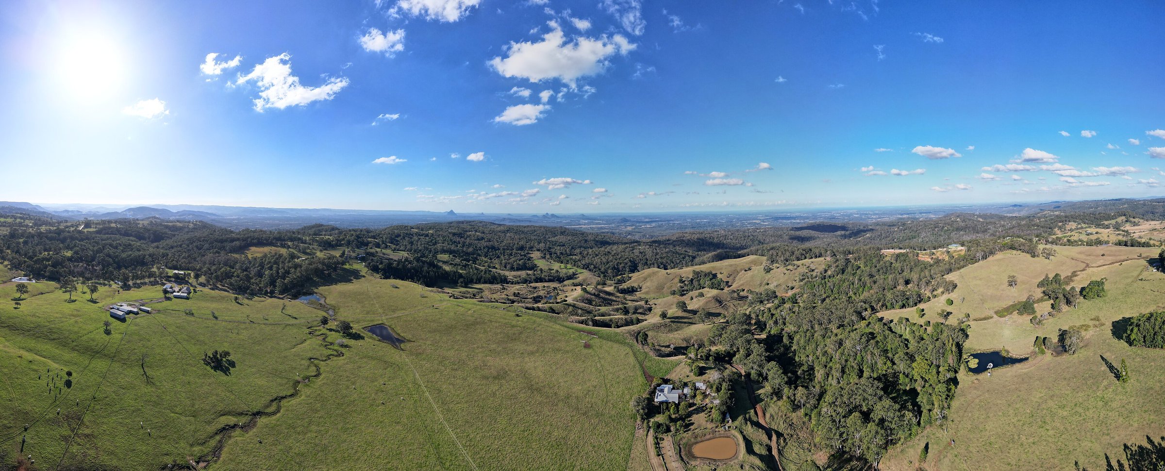
Mount Mee is a small hill village in the D’Aguilar Range, about 75 minutes by car north-west of Brisbane. It sits around 500 metres up, with a lookout over the Glass House Mountains and the coast, and the northern part of D’Aguilar National Park on its doorstep.
Most people come for one of three things: the view at Dahmongah lookout, a walk to Bulls Falls from the national park’s Mount Mee section, or a night at a creekside bush camp. It is a long way from the city, so plan a full day.
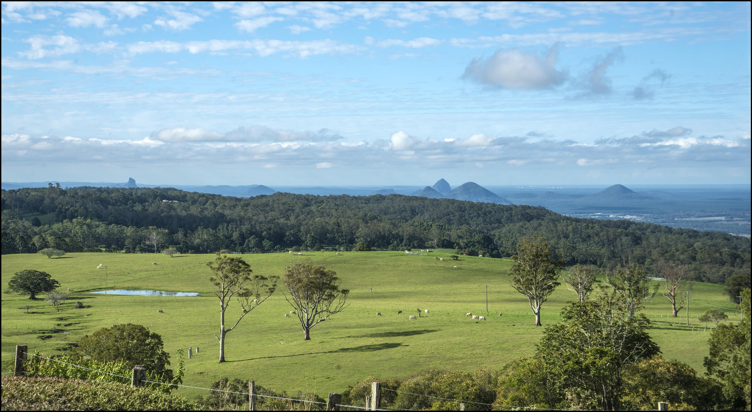
Dahmongah lookout on Mount Mee Road
Moreton Bay Regional Council’s Mt Mee Lookout (Dahmongah) is a small rest stop on the Mount Mee Road tourist drive. The view takes in the Glass House Mountains, the coastline and, on a clear day, the Brisbane CBD. People come at sunrise and sunset, or stop for a picnic.
There is a car park, seating, tables, a shelter, electric barbecues, rubbish bins and toilets. The lookout is also a council wedding site, so you may share it with a small ceremony on weekends.
The village
Mount Mee is a rural community of about 500 people. Settlers arrived from 1873, many of them timber-getters after red cedar, and the last of the larger mills closed in 1982. Dahmongah, the name the lookout carries, is the local Indigenous name for the area. The village has a public hall and Pitstop on Mt Mee, a cafe on Mt Mee Road with views. Its opening days change through the week, so ring ahead or check its Facebook page before you drive up.
The Gantry and the Mount Mee section of D’Aguilar National Park
The Gantry is the day-use area at the gateway to the northern part of D’Aguilar National Park, off Sellin Road. Queensland Parks lists the park entrance as 24 km from Dayboro, via Mount Mee Road and Sellin Road, with The Gantry a short drive beyond. That road is suitable for a normal car. There are picnic tables, flush toilets and the skeleton of an old timber sawmill that ran until 1981, which gives the place its name.
Beyond The Gantry the tracks are for four-wheel-drive vehicles and trail bikes, and you must stay on the formed forest drive network. For the rest of the national park, including Mount Glorious and Jollys Lookout, see our D’Aguilar National Park guide.
Walks near Mount Mee
Falls Lookout Track and Bulls Falls
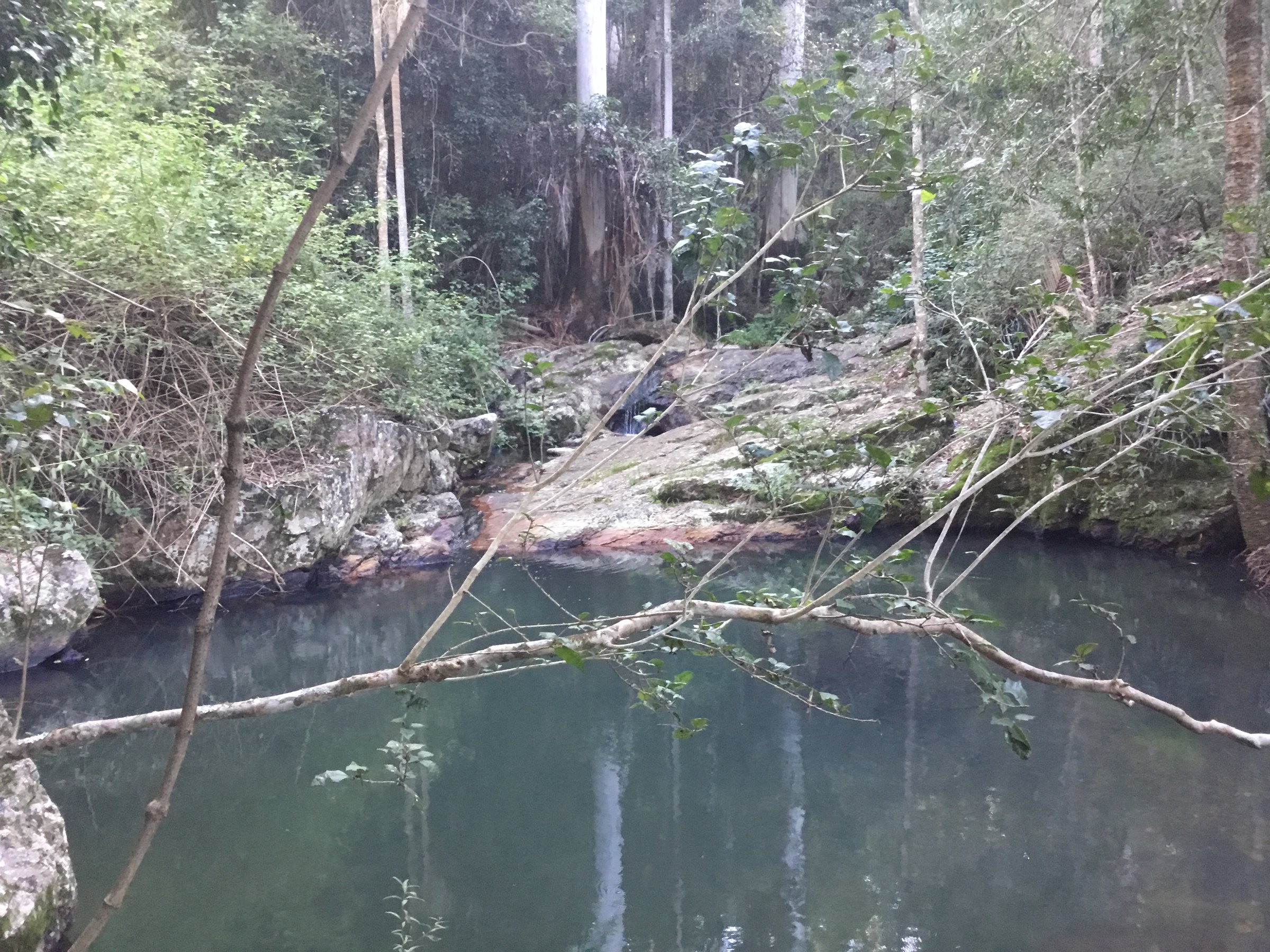
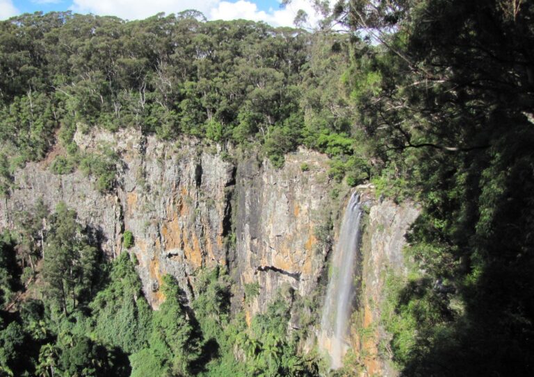
This is the easy one. The Falls Lookout Track is a grade 2 walk of about 1 km return and Queensland Parks suggests around 30 minutes. It leads to a lookout over the Neurum Valley and the northern side of the range, and Bulls Falls is a further 80 m on.
Somerset Trail
The Somerset Trail starts opposite The Gantry and is a half-day hike for fit walkers, with views to the west. Take plenty of water, and check conditions with Queensland Parks first, because the Mount Mee tracks suffer after storms.
Camping at Mount Mee
The Mount Mee section has two vehicle camping areas beside Neurum Creek: Archer and Neurum Creek. Neurum Creek is about 6 km from the southern entrance, and the Lophostemon walk, a 750 m circuit of about 20 minutes, starts nearby. From The Gantry side you need a four-wheel-drive. Queensland Parks says Archer can be reached by a conventional vehicle from the north, via Woodford.
The sites are small and Parks says they are not suitable for large campervans, trailers or caravans. There is no phone service, so book your site and permit through Queensland Parks before you go. For the basics, see our guides to campfire rules and camping with dogs (not allowed here, but useful elsewhere), or browse our camping page.
Planning your visit
- How long: a half day for the lookout and village, a full day with the Falls Lookout Track and The Gantry.
- Best time: clear mornings or late afternoon for the view; dry weather for the forest roads.
- What to bring: water, food (the village has few options), sun protection and a full tank of fuel.
- Dogs: not in D’Aguilar National Park. Queensland Parks’ map says domestic animals are not permitted anywhere in the park.
Getting there and parking
From the Brisbane CBD it is about 73 km and about 75 minutes by car to the Dahmongah lookout, then onto Mount Mee Road. The road up is sealed and winding. The lookout has a car park and The Gantry has a parking area.
There is no Translink bus up to the village or the lookout, so you need a car. Plan other trips at Translink.
Nearby
- Mount Glorious – the other rainforest village in the range, with the Maiala walks.
- Mount Nebo – the village at the southern end of the range, past Mount Glorious.
- Samford Valley – farms, cafes and markets on the southern side.
- Lake Wivenhoe – swimming, boating and trails to the west.
- Glass House Mountains – the peaks you can see from the lookout.
- Scenic drives – more road trips around South East Queensland.
Quick answers
How far is Mount Mee from Brisbane?
About 73 km, or around 75 minutes by car, to the Dahmongah lookout.
Can you camp at Mount Mee?
Yes, at the Archer and Neurum Creek camping areas in D’Aguilar National Park. You need a permit and fees apply; book through Queensland Parks.
Do you need a 4WD at Mount Mee?
Not for the village, the lookout or The Gantry. The forest drive past The Gantry and the southern access to the camping areas need a four-wheel-drive.
Is Mount Mee dog friendly?
Not in D’Aguilar National Park, which includes The Gantry area and the camping areas.
Is there public transport to Mount Mee?
No Translink bus goes up to the village or the lookout.
0 Comments